Near Dexter in Effingham County, Illinois — The American Midwest (Great Lakes)
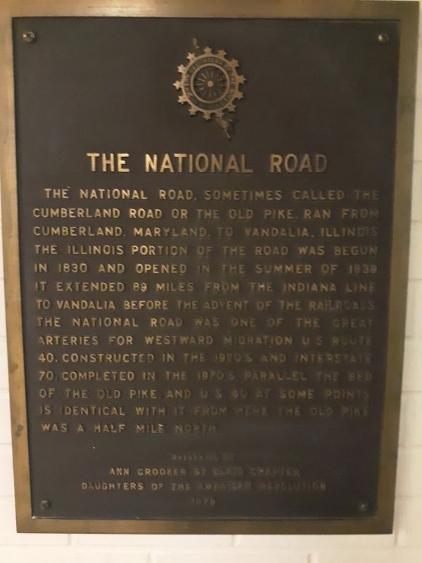
National Road
Erected by Daughters of the American Revolution.
Topics and series. This historical marker is listed in this topic list: Roads & Vehicles. In addition, it is included in the Daughters of the American Revolution, and the The Historic National Road series lists. A significant historical year for this entry is 1830.
Location. 39° 4.083′ N, 88° 40.217′ W. Marker is near Dexter, Illinois, in Effingham County. Marker can be reached from Interstate 70, 5 miles east of Farina Road, on the right when traveling west. Touch for map. Marker is at or near this postal address: 10523 County Rd 700 E, Altamont IL 62411, United States of America. Touch for directions.
Other nearby markers. At least 8 other markers are within 8 miles of this marker, measured as the crow flies. Altamont (approx. 3.9 miles away); Dr. Charles M. Wright House (approx. 4.2 miles away); Veterans Memorial (approx. 4.2 miles away); Welcome to the Cross at the Crossroads! (approx. 6 miles away); a different marker also named Veterans Memorial (approx. 7.8 miles away); Effingham County Courthouse (approx. 7.8 miles away); Yates Post No. 88 W.R.C. (approx. 7.9 miles away); Effingham (approx. 7.9 miles away).
Additional commentary.
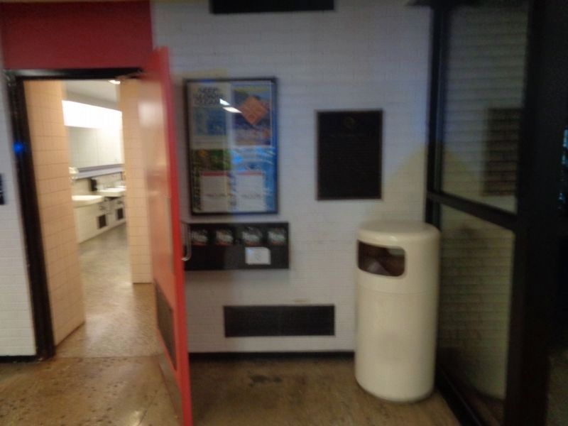
1. Marker is indoors
Just a quick note that this marker was indoors in December 2021. I do not know if this was originally outside the rest area building. A similar marker about the National Road is also inside the place.
— Submitted December 15, 2021, by Jason Voigt of Glen Carbon, Illinois.
Credits. This page was last revised on December 15, 2021. It was originally submitted on December 1, 2020, by Craig Doda of Napoleon, Ohio. This page has been viewed 238 times since then and 40 times this year. Photos: 1. submitted on December 1, 2020, by Craig Doda of Napoleon, Ohio. 2. submitted on December 15, 2021, by Jason Voigt of Glen Carbon, Illinois. • Devry Becker Jones was the editor who published this page.

