Stearns Wharf Fire
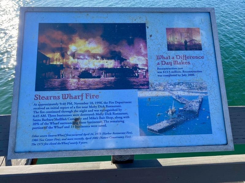
At approximately 9:40 PM, November 18, 1998, the Fire Department received an initial report of a fire near Moby Dick Restaurant. The fire continued through the night and was extinguished by 6:45 AM. Three businesses were destroyed: Moby Dick Restaurant, Santa Barbara Shellfish Compzny and Mike's Bait Shop, along with 20% of the Wharf surrounding these businesses, The remaining portion of the Wharf and 13 businesses were saved.
Other severe Stearns Wharf fires occurred April 24, 1973 (Harbor Restaurant Fire), 1986 (Sea Center Fire), and more recently, April 2002 (Nature Conservancy Fire). The 1973 fire closed the Wharf nearly 9 years.
What a Difference a Day Makes...
Reconstruction cost was $13.5 million. Reconstruction
was completed by July 2000.
Topics. This historical marker is listed in these topic lists: Disasters • Waterways & Vessels. A significant historical month for this entry is April 2002.
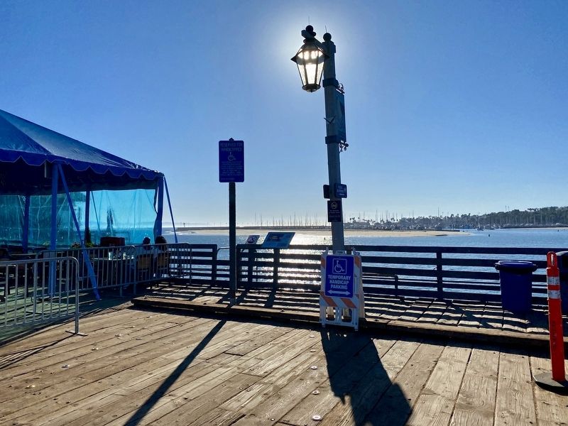
Location. 34° 24.56′ N, 119° 41.129′ W. Marker is in Santa Barbara, California, in Santa Barbara County. It is on Stearns Wharf, on the right when traveling south. Touch for map. Marker is at
this page online

Regionally, this marker is on the Central Coast, specifically on the Coast Ranges, and specifically in the Transverse Ranges. It is also on the American Pacific Coast. Globally, it is in North America, on the Ring of Fire, on the Pacific Rim, in the Western Hemisphere, in the Western World, and in the Anglosphere. Historically, it finds itself in what was once New Spain and also Mexico’s Alta California.
Other nearby markers. At least 8 other markers are within walking distance of this marker: Richard Henry Dana, Jr. (a few steps from this marker); Historic Capstan (within shouting distance of this marker); Stearns Wharf (within shouting distance of this marker); "St. Barbara" (within shouting distance of this marker); Santa Barbara's First People (approx. 0.3 miles away); Santa Barbara Veterans' Memorial Building (approx. 0.3 miles away); Burton’s Mound (approx. 0.4 miles away); Sambo's Birthplace (approx. 0.4 miles away). Touch for a list and map of all markers in Santa Barbara.
More about this marker.
Also see . . . A History of Stearns Wharf (Stearns Wharf). (Submitted on December 2, 2020.)
Credits. This page was last revised on December 2, 2020. It was originally submitted on December 2, 2020, by Andrew Ruppenstein of Lamorinda, California. This page has been viewed 2,632 times since then and 268 times this year. Photos: 1, 2. submitted on December 2, 2020, by Andrew Ruppenstein of Lamorinda, California.
