Near Chester in Randolph County, Illinois — The American Midwest (Great Lakes)
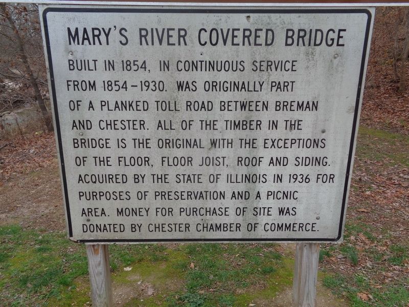
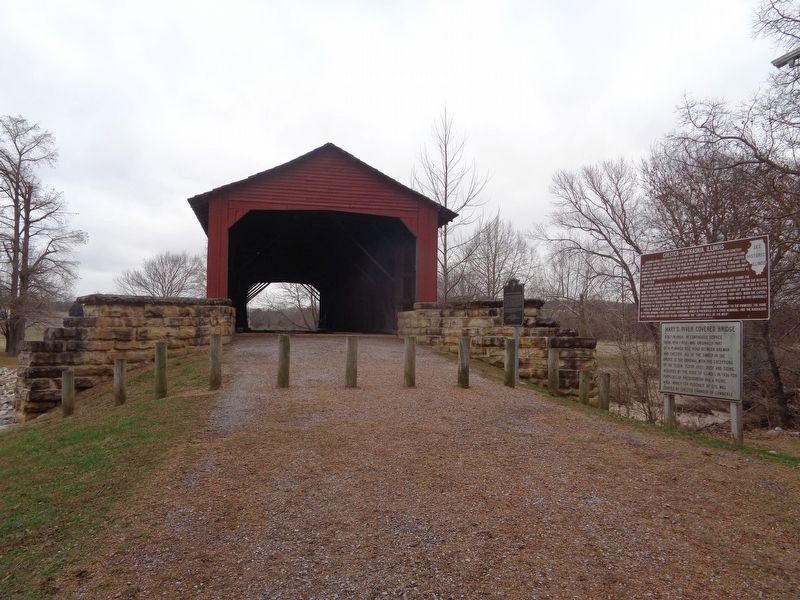
Mary's River Covered Bridge
Topics and series. This historical marker is listed in these topic lists: Bridges & Viaducts • Parks & Recreational Areas. In addition, it is included in the Covered Bridges series list. A significant historical year for this entry is 1854.
Location. 37° 56.892′ N, 89° 45.958′ W. Marker is near Chester, Illinois, in Randolph County. Marker can be reached from Illinois Route 150, 0.2 miles south of Briarhill Road. Marker is with two other markers outside the bridge, on the grounds of the rest area park. Touch for map. Marker is at or near this postal address: 3842 State Rte 150, Chester IL 62233, United States of America. Touch for directions.
Other nearby markers. At least 8 other markers are within 4 miles of this marker, measured as the crow flies. Chester-Kaskaskia, Illinois (here, next to this marker); George Rogers Clark Campsite (a few steps from this marker); Nana Oyl (approx. 1˝ miles away); Rough House (approx. 2.3 miles away); Sea Hag & Bernard the Vulture (approx. 2.6 miles away); Prof. O.G. Wotasnozzle (approx. 3.3 miles away); Castor Oyl & Bernice the Whiffle Hen (approx. 3.3 miles away); Sherlock and Segar (approx. 3.7 miles away). Touch for a list and map of all markers in Chester.
Also see . . . Mary's River Covered Bridge on Wikipedia. Bridge was added to the National Register of Historic Places in 1974 (#74000771). (Submitted on December 2, 2020, by Jason Voigt of Glen Carbon, Illinois.)
Credits. This page was last revised on December 2, 2020. It was originally submitted on December 2, 2020, by Jason Voigt of Glen Carbon, Illinois. This page has been viewed 154 times since then and 14 times this year. Photos: 1, 2. submitted on December 2, 2020, by Jason Voigt of Glen Carbon, Illinois.

