Annapolis in Parke County, Indiana — The American Midwest (Great Lakes)
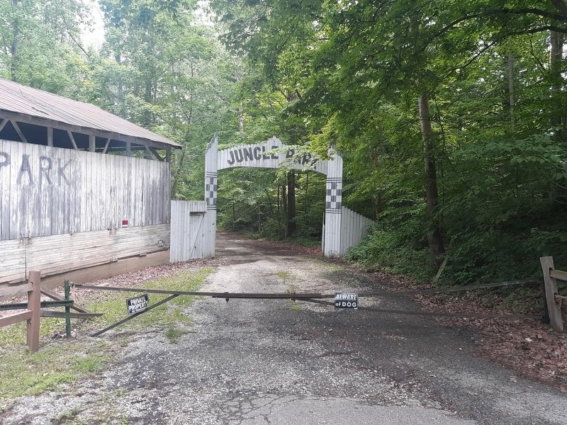
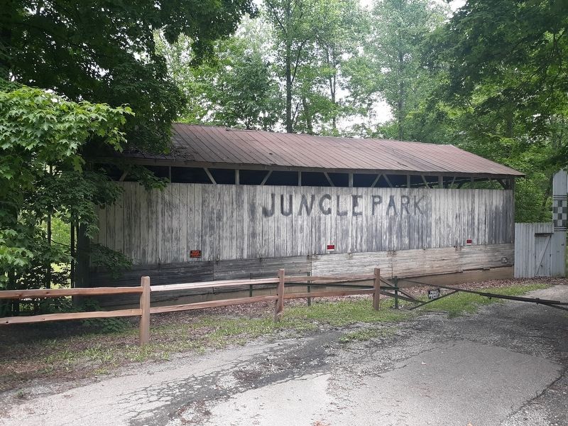
Jungle Park
Photographed by Craig Doda, June 5, 2020
1. Jungle Park Marker
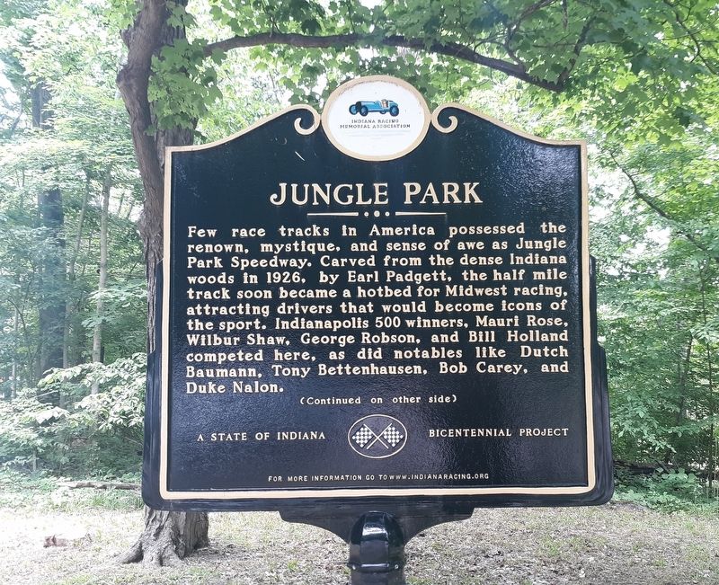
Few race tracks in America possessed the renown, mystique, and sense of awe as Jungle Park Speedway. Carved from the dense Indiana woods in 1926, by Earl Padgett, the half mile track soon became a hotbed for Midwest racing, attracting drivers that would become icons of the sport. Indianapolis 500 winners, Mauri Rose, Wilbur Shaw, George Robson, and Bill Holland competed here, as did notables like Dutch Baumann, Tony Bettenhausen, Bob Carey, and Duke Nalon.
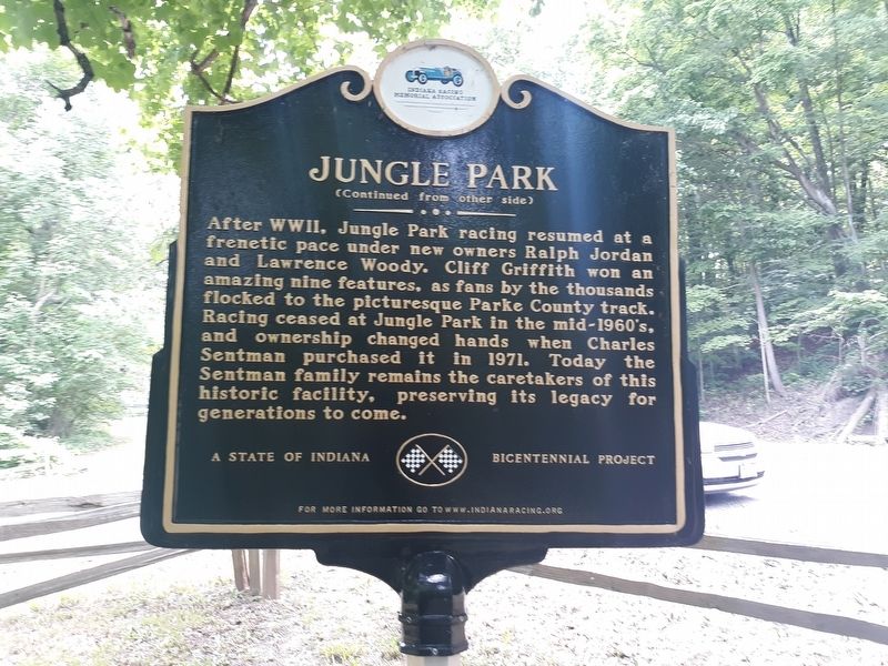
After WWII, Jungle Park racing resumed at a frenetic pace under new Owners Ralph Jordan and Lawrence Woody. Cliff Griffith won an amazing nine features, as fans by the thousands flocked to the picturesque Parke County track. Racing ceased at Jungle Park in the mid-1960's, and ownership changed hands when Charles Sentman purchased it in 1971. Today the Sentman family remains the caretakers of this historic facility, preserving its legacy for generations to come.
Erected by Indiana Racing Memorial Association, a State of Indiana Bicentennial Project.
Topics and series. This historical marker is listed in these topic lists: Entertainment
this page online
Location. 39° 53.2′ N, 87° 13.85′ W. Marker is in Annapolis, Indiana, in Parke County. It is on U.S. 41 half a mile north of Rolling Creek Road (County Road 277), on the right when traveling north. Touch for map. Marker is at or near this postal address: 8449 US-41, Bloomingdale IN 47832, United States of America. Touch for directions.

Regionally, this marker is in Central Indiana and in the Wabash Valley. It is also in the American Midwest and in the Corn Belt. Globally, it is in North America, the Western Hemisphere, the Western World, and the Anglosphere. Historically, it finds itself in what was once the territory of the Mississippian Culture and also the Northwest Territory.
Other nearby markers. At least 8 other markers are within 2 miles of this marker, measured as the crow flies: Wilkins Mill Covered Bridge (approx. 0.8 miles away); Log Church (approx. 1.3 miles away); Richard Lieber (approx. 1.3 miles away); Juliet Strauss Memorial (approx. 1.3
Photographed by Craig Doda, June 5, 2020
2. Jungle Park Marker
Photographed by Craig Doda, June 5, 2020
3. Jungle Park Marker
Photographed by Craig Doda, June 5, 2020
4. Jungle Park Marker
Credits. This page was last revised on December 2, 2020. It was originally submitted on December 2, 2020, by Craig Doda of Napoleon, Ohio. This page has been viewed 1,204 times since then and 78 times this year. Photos: 1, 2, 3, 4. submitted on December 2, 2020, by Craig Doda of Napoleon, Ohio. • Devry Becker Jones was the editor who published this page.
