Near Rocksprings in Edwards County, Texas — The American South (West South Central)
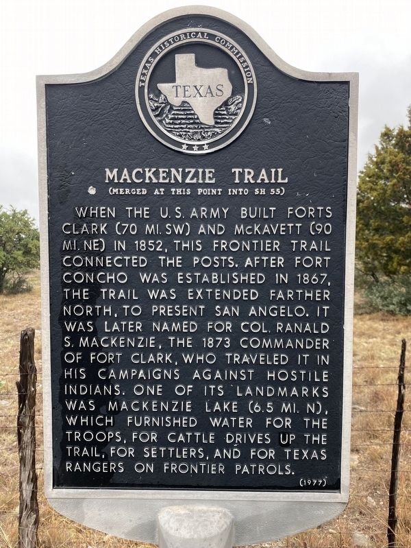
Mackenzie Trail
(Merged at this Point Into SH 55)
Erected 1977 by Texas Historical Commission. (Marker Number 3182.)
Topics. This historical marker is listed in these topic lists: Forts and Castles • Roads & Vehicles • Wars, US Indian. A significant historical year for this entry is 1852.
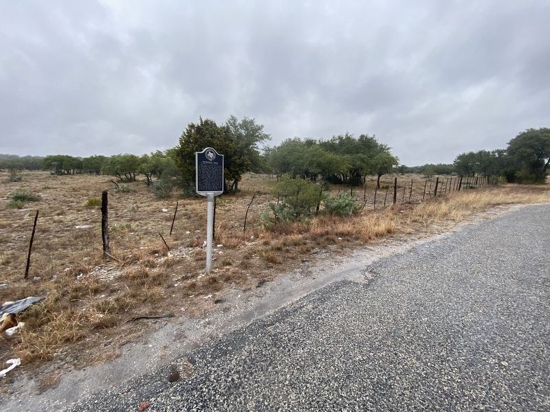
Location. 30° 4.58′ N, 100° 21.089′ W. Marker is near Rocksprings, Texas, in Edwards County. Marker is on State Highway 55, 9.3 miles north of U.S. 377, on the right when traveling north. Touch for map. Marker is in this post office area: Rocksprings TX 78880, United States of America. Touch for directions.
Other nearby markers. At least 8 other markers are within 10 miles of this marker, measured as the crow flies. Site of Rocksprings' First School Building (approx. 9.4 miles away); First Methodist Church (approx. 9˝ miles away); Headquarters, American Angora Goat Breeders' Assn. (approx. 9˝ miles away); Gilmer Hotel (approx. 9˝ miles away); Jess L. Hankins and King P-234 (approx. 9˝ miles away); Rocksprings Telephone Company (approx. 9˝ miles away); Edwards County Courthouse (approx. 9˝ miles away); Edwards County (approx. 9.6 miles away). Touch for a list and map of all markers in Rocksprings.
Credits. This page was last revised on December 3, 2020. It was originally submitted on December 2, 2020, by Brian Anderson of Humble, Texas. This page has been viewed 274 times since then and 80 times this year. Photos: 1, 2. submitted on December 3, 2020, by Brian Anderson of Humble, Texas.

