Cairo in Alexander County, Illinois — The American Midwest (Great Lakes)
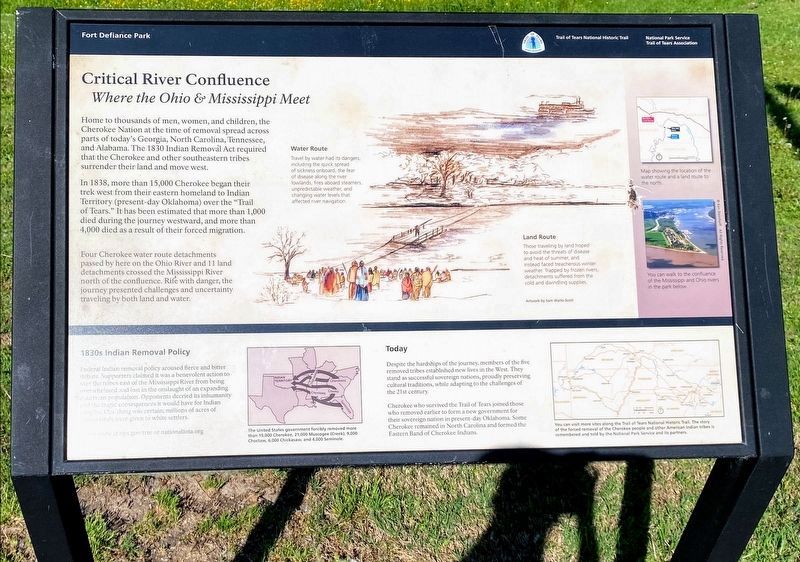
Critical River Confluence
Where the Ohio & Mississippi Meet
— Fort Defiance Park —
In 1838, more than 15,000-Cherokee began their trek west from their eastern homeland to Indian Territory (present-day Oklahoma) over the "Trail of Tears." It has been estimated that more than 1,000 died during the journey westward, and more than 4,000 died as a result of their forced migration.
Four Cherokee water route detachments passed by here on the Ohio River and 11 land detachments crossed the Mississippi River north of the confluence. Rife with danger, the journey presented challenges and uncertainty traveling by both land and water.
Water Route
Travel by water had its dangers, including the quick spread of sickness onboard, the fear of disease along the river lowlands, fires aboard steamers, unpredictable weather, and changing water levels that affected river navigation.
Land Route
Those traveling by land hoped to avoid the threats of disease and heat of summer, and instead faced treacherous winter weather. Trapped by frozen rivers, detachments suffered from the cold and dwindling supplies.
1830s Indian Removal Policy
Federal Indian removal policy aroused fierce and better debate. Supporters claimed it was a benevolent action to save the tribes east of the Mississippi River from being overwhelmed and lost in the onslaught of an expanding American population. Opponents decried its inhumanity and the tragic consequences it would have for Indian peoples. One thing was certain; millions of acres of Indian lands were given to white settlers.
Today
Despite the hardships of the journey, members of the five removed tribes established new lives in the West. They stand as successful sovereign nations, proudly preserving cultural traditions, while adapting to the challenges of the 21st century.
Cherokee who survived the Trail of Tears joined those who removed earlier to form a new government for their sovereign nation in present-day Oklahoma. Some Cherokee remained in North Carolina and formed the Eastern Band of Cherokee Indians.
Erected 2019 by National Park Service and Trail of Tears Association.
Topics and series. This historical marker is listed in these topic lists: Native Americans • Waterways & Vessels
. In addition, it is included in the Trail of Tears series list. A significant historical year for this entry is 1838.
Location. 36° 59.249′ N, 89° 9.017′ W. Marker is in Cairo, Illinois, in Alexander County. Marker is on Washington Avenue (U.S. 60/62) south of U.S. 51, on the right when traveling east. Marker is at the entrance of Fort Defiance Park. Touch for map. Marker is at or near this postal address: 2130 Great River Road, Cairo IL 62914, United States of America. Touch for directions.
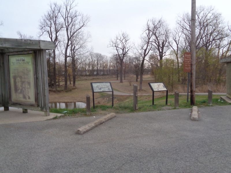
Other nearby markers. At least 8 other markers are within walking distance of this marker. Cairo Connection (here, next to this marker); Lewis & Clark (here, next to this marker); Cairo, Illinois (a few steps from this marker); Historical Survey Marker (a few steps from this marker); Lewis and Clark in Illinois (a few steps from this marker); Great River Road Illinois (within shouting distance of this marker); The Ohio River Bridge (about 500 feet away, measured in a direct line); The Mississippi River Bridge (about 500 feet away). Touch for a list and map of all markers in Cairo.
More about this marker. Marker was dedicated on October 14, 2019; this was after the nearby city of Paducah, Kentucky (across the river) was hosting the Trail of Tears conference.
Also see . . .
1. Trail of Tears National Historic Trail. From the National Park Services' website. (Submitted on December 2, 2020, by Jason Voigt of Glen Carbon, Illinois.)
2. National Trail of Tears Association. Official website for the organization. (Submitted on December 2, 2020, by Jason Voigt of Glen Carbon, Illinois.)
Credits. This page was last revised on June 6, 2021. It was originally submitted on December 2, 2020, by Jason Voigt of Glen Carbon, Illinois. This page has been viewed 296 times since then and 36 times this year. Photos: 1. submitted on June 2, 2021, by Shane Oliver of Richmond, Virginia. 2. submitted on December 2, 2020, by Jason Voigt of Glen Carbon, Illinois.

