Near Mexia in Limestone County, Texas — The American South (West South Central)
Civilian Conservation Corps at Fort Parker State Park
Inscription.
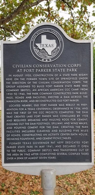
In August 1935, construction of a state park began here on the former town site of Springfield under the direction of the Civilian Conservation Corps. The group assigned to build Fort Parker State Park was company 3807(C), an African American CCC Camp. From 1935 to 1942, the park company constructed park build ings, roads and facilities, erected a dam across the Navasota River, and reconstructed Old Fort Parker.
Located nearby, Old Fort Parker was rebuilt in preparation for a Texas Centennial observance in 1936, and was the first of the CCC projects completed. The dam that created Lake Fort Parker was concluded by 1938 and required breaking and hauling rock for cement, digging out the dam footings, spillway, and wing walks, and pouring cement for the dam. Creating the park facilities included clearing and building five miles of roads, constructing an activity center/bath house, drinking fountains, and cement picnic tables.
Former Texas Governor Pat Neff dedicated Fort Parker State Park in May 1941, and declared it open to the public. Company 3807(C) was transferred out of the area in 1942 after completing several complex tasks over a span of almost seven years.
Erected 1997 by Texas Historical Commission. (Marker Number 12029.)
Topics. This historical marker is listed in these topic lists: Parks & Recreational Areas • Settlements & Settlers • Waterways & Vessels. A significant historical month for this entry is May 1941.
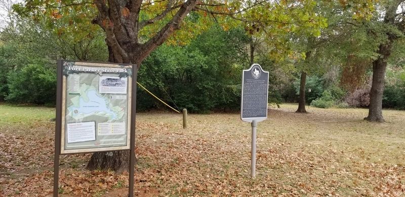
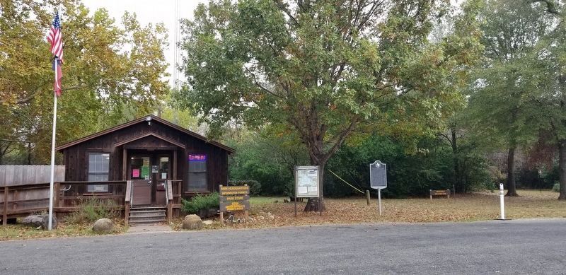
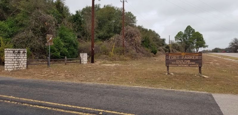
Location. 31° 35.535′ N, 96° 31.595′ W. Marker is near Mexia, Texas, in Limestone County. Marker is on Park Road 28, ¼ mile west of State Highway 14, on the right when traveling west. The marker is located at the check-in station for Fort Parker State Park. Touch for map. Marker is in this post office area: Mexia TX 76667, United States of America. Touch for directions.
Other nearby markers. At least 8 other markers are within 4 miles of this marker, measured as the crow flies. Old Springfield (approx. ¼ mile away); Joseph Penn Lynch (approx. ¼ mile away); Sanders Walker (approx. ¼ mile away); Old Springfield Cemetery (approx. 0.3 miles away); Fort Parker (approx. 2.3 miles away); Old Fort Parker (approx. 2.3 miles away); Seth H. Bates (approx. 3.3 miles away); Mrs. C.D. Kelly (approx. 3.4 miles away). Touch for a list and map of all markers in Mexia.
Also see . . .
1. Civilian Conservation Corps. TSHA Texas State Historical Association (Submitted on December 3, 2020, by James Hulse of Medina, Texas.)
2. Fort Parker. TSHA Texas State Historical Association (Submitted on December 3, 2020, by James Hulse of Medina, Texas.)
Credits. This page was last revised on December 3, 2020. It was originally submitted on December 3, 2020, by James Hulse of Medina, Texas. This page has been viewed 174 times since then and 36 times this year. Photos: 1, 2, 3, 4. submitted on December 3, 2020, by James Hulse of Medina, Texas. • J. Makali Bruton was the editor who published this page.


