Old Louisville in Jefferson County, Kentucky — The American South (East South Central)
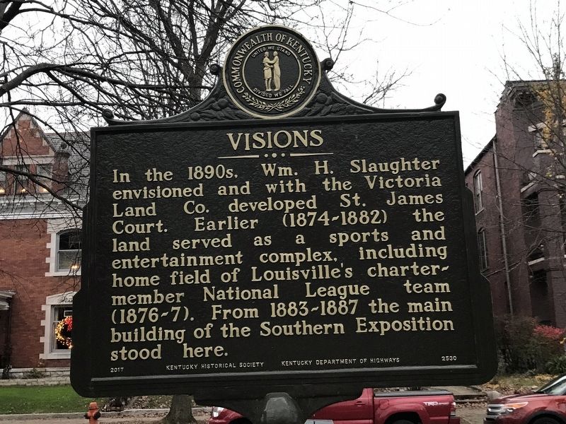
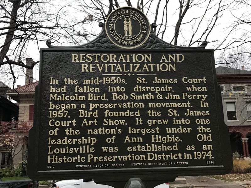
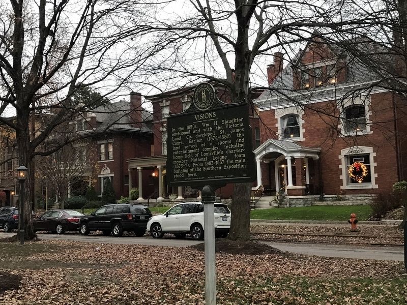
Visions / Restoration and Revitalization
Erected 2018 by Kentucky Historical Society and Kentucky Department of Highways. (Marker Number 2530.)
Topics and series. This historical marker is listed in these topic lists: Architecture • Arts, Letters, Music • Parks & Recreational Areas • Sports. In addition, it is included in the Kentucky Historical Society series list.
Location. 38° 13.693′ N, 85° 45.796′ W. Marker is in Louisville, Kentucky, in Jefferson County. It is in Old Louisville. Marker is on St. James Court, on the left when traveling south. Marker is near St. James Court Fountain. Touch for map. Marker is at or near this postal address: 1432 St James Court, Louisville KY 40208, United States of America. Touch for directions.
Other nearby markers. At least 8 other markers are within walking distance of this marker. Southern Exposition (about 400 feet away, measured in a direct line); Conrad-Caldwell House (about 400 feet away); Cabbage Patch Settlement (about 500 feet away); Samuel Grabfelder (1846-1920) / Grabfelder-Handy Mansion (approx. 0.2 miles away); Susan Look Avery (approx. 0.3 miles away); Susan Look Avery / Woman's Club of Louisville (approx. 0.3 miles away); The Filson Historical Society / The Ferguson Mansion (approx. 0.4 miles away); Louisville Girls High School (approx. 0.4 miles away). Touch for a list and map of all markers in Louisville.
Also see . . . Asset Detail | Old Louisville Residential District (PDF). National Register of Historic Places registration and photographs. (Submitted on December 3, 2020, by Duane and Tracy Marsteller of Murfreesboro, Tennessee.)
Credits. This page was last revised on February 12, 2023. It was originally submitted on December 3, 2020, by Duane and Tracy Marsteller of Murfreesboro, Tennessee. This page has been viewed 127 times since then and 9 times this year. Photos: 1, 2, 3. submitted on December 3, 2020, by Duane and Tracy Marsteller of Murfreesboro, Tennessee.


