Near Bertram in Linn County, Iowa — The American Midwest (Upper Plains)
Seedling Mile
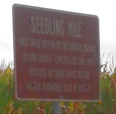
Photographed by Craig Doda, August 30, 2018
1. Seedling Mile Marker
Erected by Cedar Rapids Region Antique Automobile Club of America.
Topics and series. This historical marker is listed in this topic list: Roads & Vehicles. In addition, it is included in the Lincoln Highway series list.
Location. 41° 58.35′ N, 91° 29.867′ W. Marker is near Bertram, Iowa, in Linn County. It is on West Mount Vernon Road (County Road E48) 0.3 miles east of O'Connor Road, on the right when traveling east. Touch for map. Marker is in this post office area: Mount Vernon IA 52314, United States of America. Touch for directions.

Regionally, this marker is in Eastern Iowa. It is also in the American Midwest and in the Corn Belt. Globally, it is in North America, the Western Hemisphere, the Western World, and the Anglosphere. Historically, it finds itself in what was once the territory of the Mississippian Culture and also the Louisiana Purchase.
Other nearby markers. At least 8 other markers are within 6 miles of this marker, measured as the crow flies: Linn County Seedling Mile
this page online
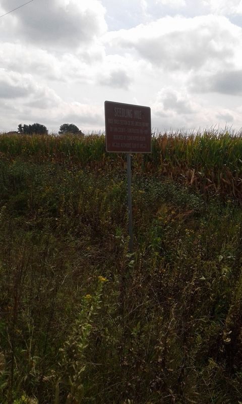
Photographed by Craig Doda, August 30, 2018
2. Seedling Mile Marker
Credits. This page was last revised on December 4, 2020. It was originally submitted on December 4, 2020, by Craig Doda of Napoleon, Ohio. This page has been viewed 370 times since then and 26 times this year. Photos: 1, 2. submitted on December 4, 2020, by Craig Doda of Napoleon, Ohio. • Mark Hilton was the editor who published this page.
Editor’s want-list for this marker. Clear photos of marker and wide shot. • Can you help?
