Galena in Cherokee County, Kansas — The American Midwest (Upper Plains)
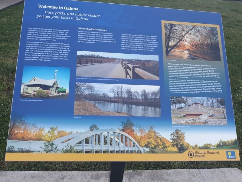
Welcome To Galena
Cars, Parks, And Nature Ensure You Get Your Kicks In Galena
There is plenty to do while visiting Galena, aside from Cars on the Route, starting right here in Howard "Pappy Litch Memorial Park. Named for a local historian, the park was once a federal weigh station. This official Route 66 Roadside Attraction displays an original 1952 Will Rogers Highway plaque from the Missouri-Kansas border.
As you stroll through downtown, the historic buildings offer a glimpse into the town's past. East Galena's business district showcases new businesses repurposing older buildings. The Main Street Deli operates out of what was once the annex and bank vault of the former Miners' & Merchants' Bank, and the Galena Mining and Historical Museum occupies a relocated Missouri-Kansas-Texas Railroad (MKT or Katy) Depot. The mining, Route 66, and the city itself.
Historic Road Infrastructure
The road between Galena and Riverton, that would become Route 66, began as just a cow path. By 1910, a bridge was constructed to cross the Spring River. Additional improvements were built along the route in 1922 and 1923 using funds from the Federal Highway Act and Galena businessmen.
Starting in 1923 a series of notable structures were built along the route. The 215-foot historic viaduct was built across the railroad tracks connecting to Galena's Main Street. The bridge predates Route 66 by three years and so became part of its alignment as a safe way across the tracks. The route also passes over other historic culverts from the 1920s. By 1928, the route was fully paved, making it one of the first paved roads in the state.
Schermerhorn Park and Southeast Kansas Nature Center
Galena's Schermerhorn Park started with the acquisition of land on Shoal Creek in 1922 for a city park. Through the 1930s and 194os, the Works Progressive Administration (WPA) constructed stone terracing and bu s Today the Southeast Kansas Nature Center, managed by Kansas Department of Wile Parks and Tourism, occupies the former Boy Scout meeting hall on a hill overlooking the park and creek. It was rehabilitated as a mature center with displays about the park grounds, trails.cave, and creek.
The park showcases part of the 55-square mile Kansas Ozark Plateau The area's cherry limestone's developed in ancient seas some 345millfion years ago. Today the limestone contains many caves, sinkholes streams, and cliffs, including the half-mile-deep Schermerhorn Cave. While the area's soils are not well-suited for agriculture, it contained substantial amounts of lead and zinc mining below the surface. The park also contains the oldest surface rocks in Kansas and many hillsides still have original oak and hickory hardwood forests of the Ozarks. Tallgrass prairie can also be found on some hilltops, accessible via the park's trail.
Erected 2018 by Historic Route 66 Byway.
Topics and series. This historical marker is listed in these topic lists: Bridges & Viaducts • Railroads & Streetcars • Roads & Vehicles. In addition, it is included in the U.S. Route 66, and the Works Progress Administration (WPA) projects series lists. A significant historical year for this entry is 1952.
Location. 37° 4.554′ N, 94° 38.365′ W. Marker is in Galena, Kansas, in Cherokee County. Marker is on South Main Street just south of West 5th Street, on the right when traveling south. Touch for map. Marker is at or near this postal address: 518 S Main St, Galena KS 66739, United States of America. Touch for directions.
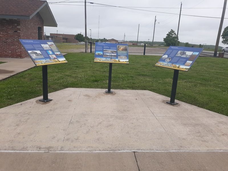
Other nearby markers. At least 8 other markers are within 3 miles of this marker, measured as the crow flies. Mining And Its Impacts (here, next to this marker); Galena Growth And Change (here, next to this marker); Galena Chamber of Commerce, Galena, Kansas (here, next to this marker); Route 66 Howard 'Pappy' Litch Park (within shouting distance of this marker); Galena, Kansas (within shouting distance of this marker); War Memorial (about 700 feet away, measured in a direct line); The Kansas Route 66 Historic District, East of Galena (approx. 0.6 miles away); The Kansas Ozarks (approx. 2.3 miles away). Touch for a list and map of all markers in Galena.
Credits. This page was last revised on September 2, 2021. It was originally submitted on December 4, 2020, by Craig Doda of Napoleon, Ohio. This page has been viewed 193 times since then and 23 times this year. Photos: 1, 2. submitted on December 4, 2020, by Craig Doda of Napoleon, Ohio. • Devry Becker Jones was the editor who published this page.

