Angell in Ann Arbor in Washtenaw County, Michigan — The American Midwest (Great Lakes)
Riverbank Rescue
The Problem
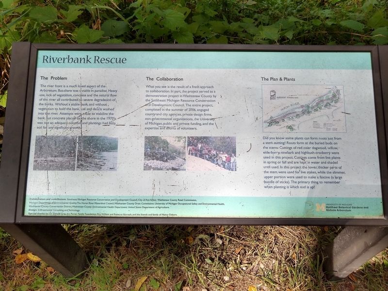
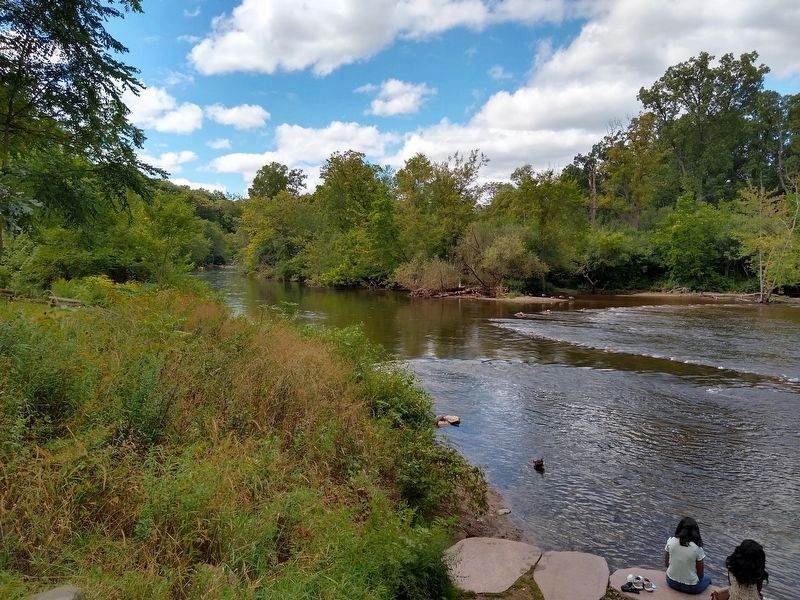
The river front is a much loved aspect of the Arboretum. But there was trouble in paradise. Heavy use, lack of vegetation, concrete and the natural flow of the river all contributed to severe degradation of the banks. Without a stable bank, and without vegetation to hold the bank, soil and debris washed into the river. Attempts were made to stabilize the bank, but concrete placed on the shore in the 1970's was not an adequate solution and plantings had little soil for any significant growth.
The Collaboration
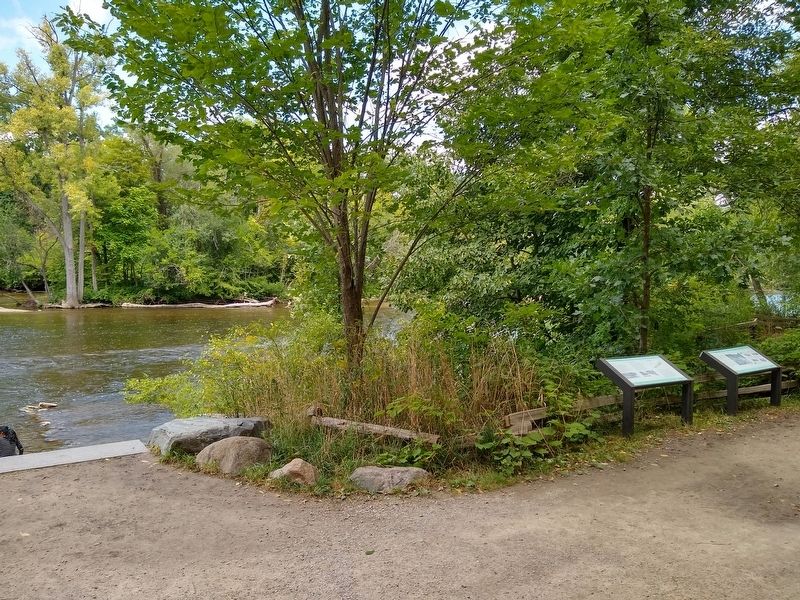
What you see is the result of a fresh approach to collaboration. In part, the project served as a demonstration project in Washtenaw County by the Southeast Michigan Resource and Development Council. The entire project, completed in the summer of 2006, engaged county and city agencies, private design firms, non-governmental organizations, the University of Michigan, public and private funding, and the expertise and efforts of volunteers.
The Plan & Plants
Did you know some plants can form roots just from a stem cutting? Roots form at the buried buds on the stems. Cuttings of red osier dogwood, willow, elderberry, ninebark and highbush-cranberry were used in this project. Cuttings come from live plants in spring or fall and are kept in water and shaded until used. In this project the lower, thicker parts of the stem were used for live stakes, while the slimmer, upper portion were used to make a fascine (a large bundle of sticks). The primary thing to remember when planting is which end is up!
Collaborators and contributors: Southeast Michigan Resource Conservation and Development Council, City of Ann Arbor, Washtenaw County Road Commission, Michigan Department of Environmental Quality, The Huron River Watershed Council, Washtenaw County Drain Commission, University of Michigan Occupational Safety and Environmental Health, Washtenaw County Conservation District, Washtenaw County Environmental Health Department, United States Department of Agriculture.
Design: Environmental Consulting and Technology
Special thanks to: Dr. Donald Gray, the Porter Family Foundation, Drs. William and Rebecca Horvath, and the friends and family of Nancy Osborn.
Erected by University of Michigan Matthaei Botanical Gardens and Nichols Arboretum.
Topics. This historical marker is listed in these topic lists: Environment • Parks & Recreational Areas. A significant historical year for this entry is 2006.
Location. 42° 16.982′ N, 83° 43.212′ W. Marker is in Ann Arbor, Michigan, in Washtenaw County. It is in Angell. Marker can be reached
from Washington Heights. Marker is in Nichols Arboretum at Riverfront Landing, approximately 0.4 miles from the Washington Heights entrance. Touch for map. Marker is at or near this postal address: 1610 Washington Heights, Ann Arbor MI 48104, United States of America. Touch for directions.
Other nearby markers. At least 8 other markers are within walking distance of this marker. How It Happened (here, next to this marker); Shagbark Hickory (a few steps from this marker); White Willow (about 500 feet away, measured in a direct line); Weeping Japanese Cherry (approx. 0.2 miles away); Nichols Arboretum (approx. 0.6 miles away); Simpson Memorial Institute (approx. 0.6 miles away); Forest Hill (approx. 0.6 miles away); Washtenaw County War Memorial (approx. 0.6 miles away). Touch for a list and map of all markers in Ann Arbor.
Credits. This page was last revised on February 12, 2023. It was originally submitted on December 4, 2020, by Joel Seewald of Madison Heights, Michigan. This page has been viewed 91 times since then and 6 times this year. Photos: 1, 2. submitted on December 4, 2020, by Joel Seewald of Madison Heights, Michigan. 3. submitted on December 7, 2020, by Joel Seewald of Madison Heights, Michigan.


