Fisherville in Louisville in Jefferson County, Kentucky — The American South (East South Central)
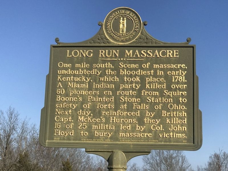
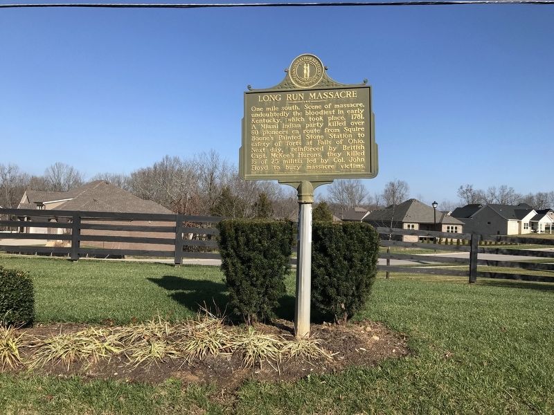
Long Run Massacre
Erected 1966 by Kentucky Historical Society and Kentucky Department of Highways. (Marker Number 991.)
Topics and series. This historical marker is listed in these topic lists: Disasters • Wars, US Indian. In addition, it is included in the Kentucky Historical Society series list. A significant historical year for this entry is 1781.
Location. 38° 14.187′ N, 85° 25.879′ W. Marker is in Louisville, Kentucky, in Jefferson County. It is in Fisherville. Marker is on Shelbyville Road (U.S. 60) west of Arlington Meadows Drive, on the right when traveling west. Touch for map. Marker is in this post office area: Eastwood KY 40018, United States of America. Touch for directions.
Other nearby markers. At least 8 other markers are within 4 miles of this marker, measured as the crow flies. Abraham Lincoln (a few steps from this marker); You Stand on Historic Ground (approx. 1.6 miles away); In Memory of Abraham Linkhorn (Lincoln) (approx. 1.6 miles away); Ednum Gregg (approx. 1.6 miles away); Benjamin Bridges, Sr. (approx. 1.6 miles away); Handmade Stone (approx. 1.6 miles away); Warfield Young (approx. 1.6 miles away); Lincoln Institute Campus (approx. 3.2 miles away). Touch for a list and map of all markers in Louisville.
More about this marker. The marker is difficult to spot as it faces the side of a high-speed highway. There is a narrow pulloff by the marker and another one, but would not recommend using it unless you're certain of its location and can pull over safely.
Also see . . . Long Run massacre (Wikipedia). (Submitted on December 5, 2020, by Duane and Tracy Marsteller of Murfreesboro, Tennessee.)
Credits. This page was last revised on February 12, 2023. It was originally submitted on December 5, 2020, by Duane and Tracy Marsteller of Murfreesboro, Tennessee. This page has been viewed 1,045 times since then and 114 times this year. Photos: 1, 2. submitted on December 5, 2020, by Duane and Tracy Marsteller of Murfreesboro, Tennessee.

