Louisville in Jefferson County, Kentucky — The American South (East South Central)
Berrytown Cemetery
Photographed by Duane and Tracy Marsteller, November 28, 2020
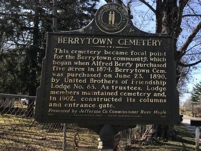
1. Berrytown Cemetery Marker (Side A)
This cemetery became focal point for the Berrytown community, which began when Alfred Berry purchased five acres in 1874. Berrytown Cem. was purchased on June 23, 1890, by United Brothers of Friendship Lodge No. 83. As trustees, Lodge members maintained cemetery and, in 1902, constructed its columns and entrance gate.
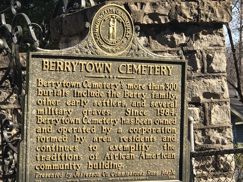
Berrytown Cemetery's more than 300 burials include the Berry family, other early settlers, and several military graves. Since 1984, Berrytown Cemetery has been owned and operated by a corporation formed by area residents and continues to exemplify the traditions of African American community building.
Erected 1999 by Kentucky Historical Society and Kentucky Department of Highways. (Marker Number 2032.)
Topics and series. This historical marker is listed in these topic lists: African Americans • Cemeteries & Burial Sites • Fraternal or Sororal Organizations • Settlements & Settlers. In addition, it is included in the Kentucky Historical Society series list. A significant historical date for this entry is June 23, 1890.
Location. 38° 16.132′ N, 85° 31.24′ W.
this page online

Regionally, this marker is in the American South, specifically in the Upper South, and in the Ohio River Valley. Globally, it is in North America, the Western Hemisphere, the Western World, and the Anglosphere. Historically, it finds itself in what was once the territory of the Mississippian Culture and also the Antebellum South.
Other nearby markers. At least 8 other markers are within 2 miles of this marker, measured as the crow flies: Forest Public School (approx. 0.2 miles away); Berrytown (approx. 0.3 miles away); Isaac Hite's Home / Isaac Hite (approx. 0.6 miles away); Newland Log House (approx. one mile away); Joseph Abell House (approx. 1.8 miles away); Griffytown (approx. 1.8 miles away); William Bull House (approx. 1.8 miles away); Gov. Lawrence Wetherby Statue (approx. 1.8 miles away). Touch for a list and map
Photographed by Duane and Tracy Marsteller, November 28, 2020
2. Berrytown Cemetery Marker (Side B)
Also see . . . Berrytown Cemetery. From Kentucky Historical Society's Explore KY History series. (Submitted on December 6, 2020, by Duane and Tracy Marsteller of Murfreesboro, Tennessee.)
Photographed by Duane and Tracy Marsteller, November 28, 2020
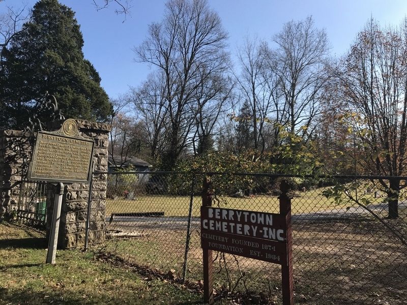
3. Berrytown Cemetery Marker
Credits. This page was last revised on August 7, 2025. It was originally submitted on December 5, 2020, by Duane and Tracy Marsteller of Murfreesboro, Tennessee. This page has been viewed 648 times since then and 38 times this year. Photos: 1, 2. submitted on December 5, 2020, by Duane and Tracy Marsteller of Murfreesboro, Tennessee. 3. submitted on December 6, 2020, by Duane and Tracy Marsteller of Murfreesboro, Tennessee.
