Chester in Randolph County, Illinois — The American Midwest (Great Lakes)
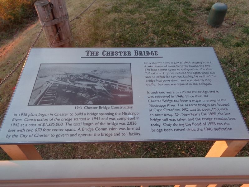
The Chester Bridge
On a stormy night in July of 1944, tragedy struck. A windstorm of tornadic force caused the two 670 foot center spans to collapse into the river. Toll taker L.F. Jones noticed the lights went out and he called for service. Luckily, he realized the bridge had gone down and was able to stop traffic. No one was injured in the collapse.
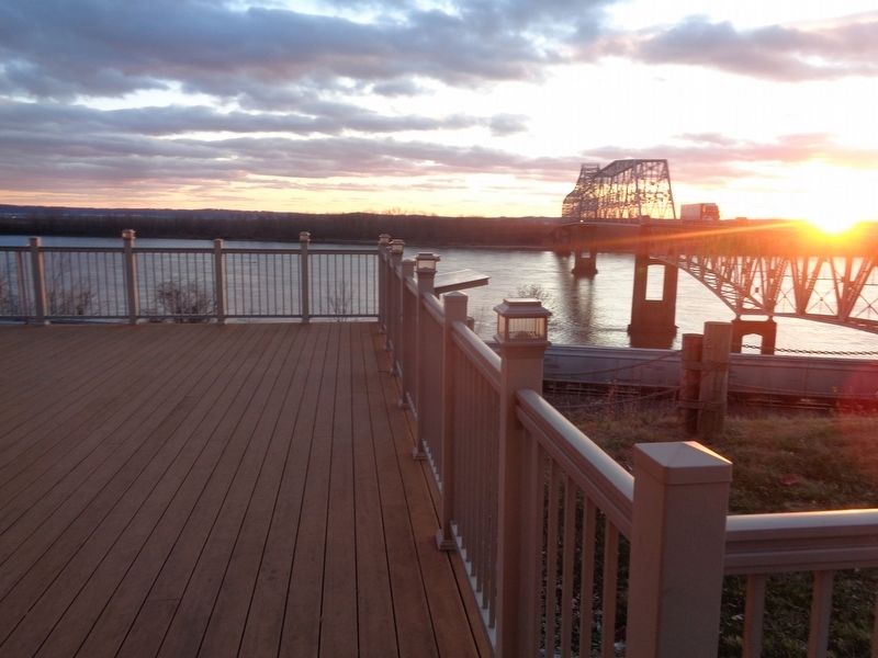
It took two years to rebuild the bridge, and it was reopened in 1946. Since then, the Chester Bridge has been a major crossing at the Mississippi River. The nearest bridges are located at Cape Girardeau, MO, and St. Louis, MO, each an hour away. On New Year's Eve 1989, the last bridge toll was taken, and the bridge remains free today. Only during the flood of 1993 has the bridge been closed since the 1946 dedication.
Topics. This historical marker is listed in these topic lists: Bridges & Viaducts • Disasters • Waterways & Vessels. A significant historical year for this entry is 1942.
Location. 37° 54.291′ N, 89° 50.044′ W. Marker is in Chester, Illinois, in Randolph County. Marker can be reached from Bridge Bypass Road (Illinois Route 150) south of Randolph Street. Marker is located at the Chester Welcome Center and Segar Memorial Park. Touch for map. Marker is at or near this postal address: 10 Bridge Bypass Rd, Chester IL 62233, United States of America. Touch for directions.
Other nearby markers. At least 8 other markers are within walking distance of this marker. Flood of 1993 (here, next to this marker); Chester, Randolph County, Illinois (a few steps from this marker); Lewis and Clark in Illinois (a few steps from this marker); Popeye (within shouting distance of this marker); Weistar House (approx. 0.3 miles away); Statehood of Illinois (approx. 0.3 miles away); Ham Gravy (approx. 0.3 miles away); Toar (approx. 0.4 miles away). Touch for a list and map of all markers in Chester.
Also see . . . Chester Bridge on Wikipedia. (Submitted on December 6, 2020, by Jason Voigt of Glen Carbon, Illinois.)
Credits. This page was last revised on December 6, 2020. It was originally submitted on December 5, 2020, by Jason Voigt of Glen Carbon, Illinois. This page has been viewed 217 times since then and 24 times this year. Photos: 1. submitted on December 5, 2020, by Jason Voigt of Glen Carbon, Illinois. 2. submitted on December 6, 2020, by Jason Voigt of Glen Carbon, Illinois.

