Near Ellis Grove in Randolph County, Illinois — The American Midwest (Great Lakes)
The American Bottom
Photographed by Jason Voigt, November 30, 2020
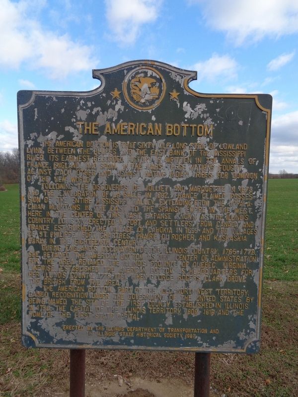
1. The American Bottom Marker
Following the discoveries of Jolliet and Marquette in 1673 and the exploration of LaSalle in 1682, France claimed possession of the entire Mississippi Valley. Extending from the Appalachian Mountains in the East and the Spanish Empire in the West, here in the center of this vast expanse known as the Illinois Country, Louis XIV erected a fort and settlers from Canada and France established the village of Cahokia in 1699 and the villages of St. Philippe, Fort Chartres, Prairie du Rocher, and Kaskaskia early in the eighteenth century.
During England’s occupation of the Illinois Country, 1765-1778, she retained the American Bottom as the center of administration for the area renamed the Illinois Province of Quebec. Virginia, likewise, established the American Bottom as headquarters for her Illinois
this page online
The American Bottom, part of the Old Northwest Territory, gained recognition under the government of the United States by being named the site of the first county established in Illinois in 1790, the capital of the Illinois Territory, 1809-1818, and the home of the first state capital.
Erected 1987 by Illinois Department of Transportation and the Illinois State Historical Society.
Topics and series. This historical marker is listed in these topic lists: Exploration • Settlements & Settlers • Waterways & Vessels. In addition, it is included in the Illinois State Historical Society series list. A significant historical year for this entry is 1673.
Location. 38° 3.162′ N, 89° 56.004′ W. Marker is near Ellis Grove, Illinois, in Randolph County. It is on Illinois Route 3, on the right. Touch for map. Marker is at or near this postal address: 6673 IL-3, Ellis Grove IL 62241, United States of America. Touch for directions.

Regionally, this marker is in Southern Illinois — Little Egypt. It is also in the American Midwest, in the Corn Belt, and
Photographed by Jason Voigt, November 30, 2020
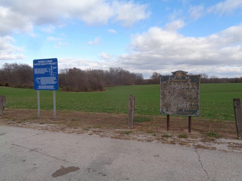
2. The American Bottom Marker
Marker is next to a sign that points out the Ninemile Creek Water Quality Project
Other nearby markers. At least 8 other markers are within 6 miles of this marker, measured as the crow flies: Veterans Memorial (approx. 2.6 miles away); Dr. George Fisher (approx. 3.2 miles away); Dedicated to the Men and Women of the Armed Forces (approx. 3.2 miles away); History of the Mississippi and Kaskaskia Rivers Confluence Area (approx. 4.8 miles away); a different marker also named History of the Mississippi and Kaskaskia Rivers Confluence Area (approx. 4.8 miles away); Economic Development of the Lower Kaskaskia River (approx. 4.8 miles away); Kaskaskia Confluence Area (approx. 5 miles away); Reily Lake (approx. 5.4 miles away).
Photographed by Jason Voigt, November 30, 2020
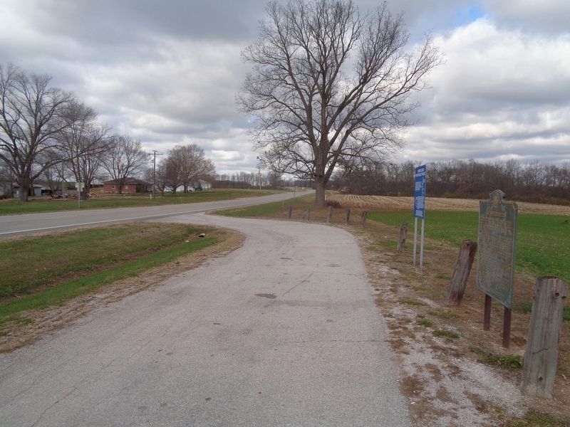
3. The American Bottom Marker, looking north
Marker is on a roadside pullout off of Illinois Rte 3, 3.5 miles north of Ellis Grove.
Credits. This page was last revised on December 6, 2020. It was originally submitted on December 6, 2020, by Jason Voigt of Glen Carbon, Illinois. This page has been viewed 1,054 times since then and 129 times this year. Photos: 1, 2, 3. submitted on December 6, 2020, by Jason Voigt of Glen Carbon, Illinois.
