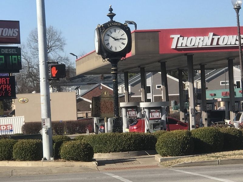
Lyndon in Jefferson County, Kentucky — The American South (East South Central)
Lyndon
Erected 1973 by Kentucky Historical Society and Kentucky Department of Highways. (Marker Number 1474.)
Topics and series. This historical marker is listed in these topic lists: Architecture • Education • Science & Medicine • Settlements & Settlers. In addition, it is included in the Kentucky Historical Society series list. A significant historical year for this entry is 1871.
Location. 38° 15.534′ N, 85° 36.227′ W. Marker is in Lyndon, Kentucky, in Jefferson County. Marker is at the intersection of Lyndon Lane and New La Grange Road (State Road 146), on the right when traveling north on Lyndon Lane. Touch for map. Marker is at or near this postal address: 605 Lyndon Lane, Louisville KY 40222, United States of America. Touch for directions.
Other nearby markers. At least 8 other markers are within 3 miles of this marker, measured as the crow flies. Fort William / Col. William Christian (approx. 0.7 miles away); Sturgus Station (approx. ¾ mile away); Woodlawn Race Course (approx. 1½ miles away); Beargrass Baptist Church (approx. 1½ miles away); James Brown House (approx. 2 miles away); Soldier's Retreat (approx. 2.1 miles away); Col. Richard Taylor (1744-1829)/George Rudy (1744-1806) (approx. 2.3 miles away); Zachary Taylor National Cemetery (approx. 2.4 miles away).
Also see . . . About Lyndon. From city website. (Submitted on December 8, 2020, by Duane and Tracy Marsteller of Murfreesboro, Tennessee.)
Credits. This page was last revised on December 12, 2020. It was originally submitted on December 7, 2020, by Duane and Tracy Marsteller of Murfreesboro, Tennessee. This page has been viewed 222 times since then and 23 times this year. Photos: 1. submitted on December 7, 2020, by Duane and Tracy Marsteller of Murfreesboro, Tennessee. 2. submitted on December 8, 2020, by Duane and Tracy Marsteller of Murfreesboro, Tennessee.

