St. Matthews in Jefferson County, Kentucky — The American South (East South Central)
Beargrass Baptist Church
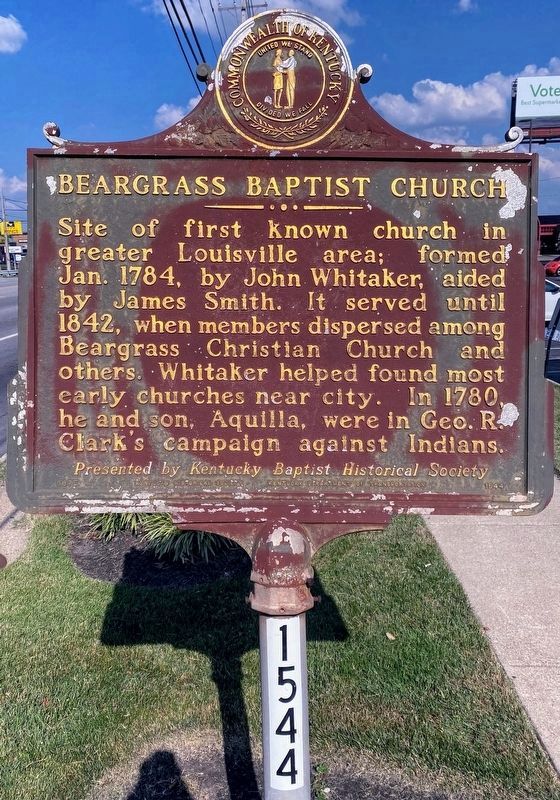
Site of first known church in greater Louisville area; formed Jan. 1784, by John Whitaker, aided by James Smith. It served until 1842, when members dispersed among Beargrass Christian Church and others. Whitaker helped found most early churches near city. In 1780, he and son, Aquilla, were in George Rogers Clark's campaign against Indians.
Erected 1975 by Kentucky Historical Society and Kentucky Department of Transportation; presented by Kentucky Baptist Historical Society. (Marker Number 1544.)
Topics and series. This historical marker is listed in these topic lists: Churches & Religion • Wars, US Indian. In addition, it is included in the Kentucky Historical Society series list. A significant historical month for this entry is January 1784.
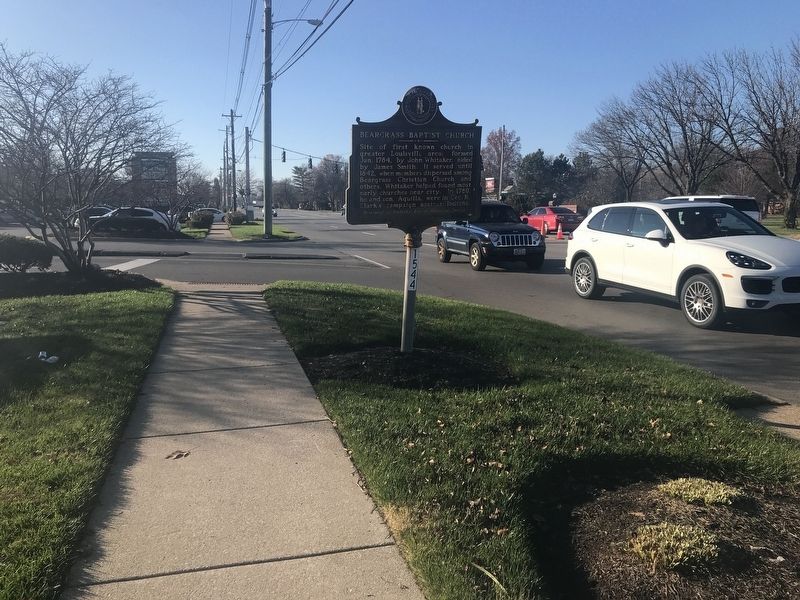
Location. 38° 15.038′ N, 85° 37.751′ W. Marker is in St. Matthews, Kentucky, in Jefferson County. Marker is on Shelbyville Road (U.S. 60) west of Bowling Boulevard, on the right when traveling east. Touch for map. Marker is at or near this postal address: 4600 Shelbyville Road, Louisville KY 40207, United States of America. Touch for directions.
Other nearby markers. At least 8 other markers are within 2 miles of this marker, measured as the crow flies. James Brown House (approx. ¾ mile away); Woodlawn Race Course (approx. 0.9 miles away); John Floyd's Grave (approx. 1.1 miles away); Floyd's Station (approx. 1.1 miles away); Lewis and Clark in Kentucky / Charles Floyd (approx. 1.1 miles away); Sturgus Station (approx. 1.2 miles away); Fort William / Col. William Christian (approx. 1.4 miles away); Gilman's Point / St. Matthews (approx. 1.4 miles away). Touch for a list and map of all markers in St. Matthews.
Also see . . . History of Beargrass Christian Church. Church website entry (Submitted on December 8, 2020, by Duane and Tracy Marsteller of Murfreesboro, Tennessee.)
Credits. This page was last revised on December 29, 2022. It was originally submitted on December 7, 2020, by Duane and Tracy Marsteller of Murfreesboro, Tennessee. This page has been viewed 264 times since then and 22 times this year. Photos: 1. submitted on August 5, 2021, by Shane Oliver of Richmond, Virginia. 2. submitted on December 8, 2020, by Duane and Tracy Marsteller of Murfreesboro, Tennessee.

