St. Matthews in Jefferson County, Kentucky — The American South (East South Central)
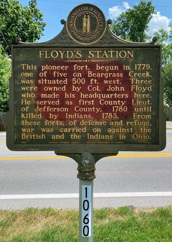
Floyd's Station
Erected 1967 by Kentucky Historical Society and Kentucky Department of Highways. (Marker Number 1060.)
Topics and series. This historical marker is listed in these topic lists: Settlements & Settlers • Wars, US Indian. In addition, it is included in the Kentucky Historical Society series list. A significant historical year for this entry is 1779.
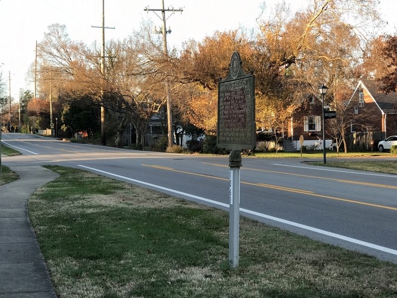
Location. 38° 14.401′ N, 85° 38.702′ W. Marker is in St. Matthews, Kentucky, in Jefferson County. Marker is on Breckenridge Lane (State Road 1932) south of Hillsboro Road, on the right when traveling south. Touch for map. Marker is at or near this postal address: 836 Breckenridge Lane, Louisville KY 40207, United States of America. Touch for directions.
Other nearby markers. At least 8 other markers are within 2 miles of this marker, measured as the crow flies. Lewis and Clark in Kentucky / Charles Floyd (here, next to this marker); John Floyd's Grave (within shouting distance of this marker); James Brown House (approx. 0.7 miles away); Bowman Field - East (approx. 0.9 miles away); Rebecca Rosenthal Judah 1866-1932 / National Council of Jewish Women (approx. one mile away); Gilman's Point / St. Matthews (approx. 1.1 miles away); Beargrass Baptist Church (approx. 1.1 miles away); Aero Club of Louisville (approx. 1.2 miles away). Touch for a list and map of all markers in St. Matthews.
Credits. This page was last revised on August 8, 2021. It was originally submitted on December 7, 2020, by Duane and Tracy Marsteller of Murfreesboro, Tennessee. This page has been viewed 700 times since then and 319 times this year. Photos: 1. submitted on August 5, 2021, by Shane Oliver of Richmond, Virginia. 2. submitted on December 8, 2020, by Duane and Tracy Marsteller of Murfreesboro, Tennessee.

