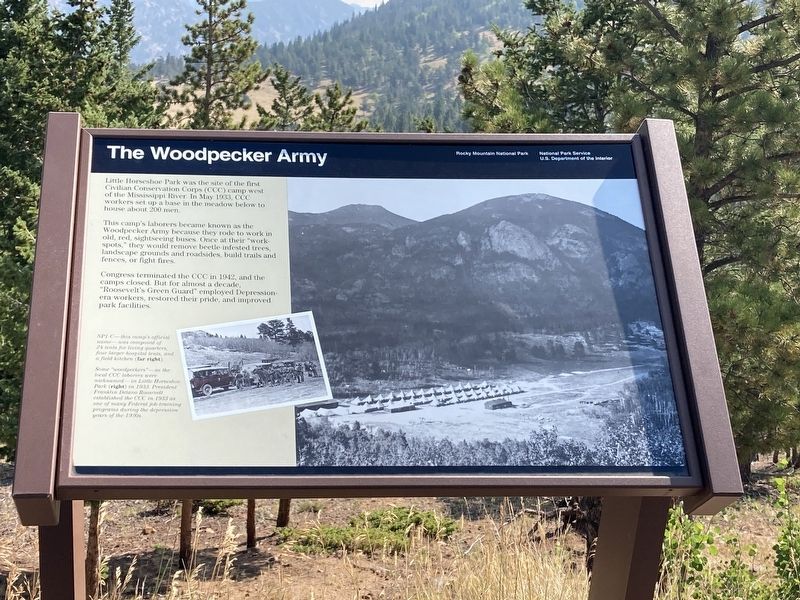
The Woodpecker Army
— Rocky Mountain National Park —
This camp’s laborers became known as the Woodpecker Army because they rode to work in old, red, sightseeing buses. Once at their “work-spots,” they will remove beetle-infested trees, landscape grounds and roadsides, build trails and fences, or fight fires.
Congress terminated the CCC in 1942, and the camps closed. But for almost a decade, decade, “Roosevelt’s Green Guard,” employed Depression-era workers, restored their pride, and improved park facilities.
Photo captions:
NP1-C—this camps official name was composed of 24 tens for living quarters, four larger hospital tents, and a field kitchen (far right).
Some “woodpeckers” — as the local CCC laborers were nicknamed—in Little Horseshoe Park in 1933 (right). President Franklin Delano Roosevelt establish the CCC in 1933 as one of the many federal job training programs during the depression years of the 1930s.
Erected by National Park Service, U.S. Department of the Interior.
Topics and series. This historical marker is listed
Location. 40° 23.371′ N, 105° 36.704′ W. Marker is near Estes Park, Colorado, in Larimer County. Marker is on Fall River Road (U.S. 34) 0.2 miles north of Trail Ridge Road (U.S. 36), on the left when traveling south. Touch for map. Marker is in this post office area: Estes Park CO 80517, United States of America. Touch for directions.
Other nearby markers. At least 8 other markers are within 4 miles of this marker, measured as the crow flies. Rocky Mountain’s “Parks” (approx. one mile away); Animals in Flux (approx. 1.1 miles away); Ancient Paths, Ancient Peoples (approx. 2.4 miles away); Changing Times Bring Changing Uses (approx. 2˝ miles away); Horseshoe Park (approx. 2.8 miles away); Rocky Mountain National Park Administration Building (approx. 3.1 miles away); Stephen Tyng Mather (approx. 3.1 miles away); Beaver Meadows Visitor Center (approx. 3.2 miles away). Touch for a list and map of all markers in Estes Park.
Credits. This page was last revised on December 8, 2020. It was originally submitted on December 7, 2020, by Connor Olson of Kewaskum, Wisconsin. This page has been viewed 240 times since then and 20 times this year. Photo 1. submitted on December 7, 2020, by Connor Olson of Kewaskum, Wisconsin. • Mark Hilton was the editor who published this page.
Editor’s want-list for this marker. A wide shot of the marker and its surroundings. • Can you help?
