Near Beulah in Surry County, North Carolina — The American South (South Atlantic)
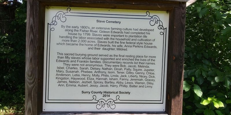
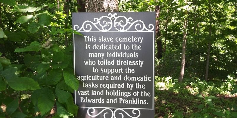
Slave Cemetery
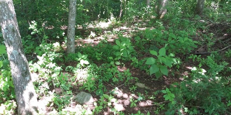
This sacred burying ground served as the final resting place for more than fifty slaves whose labor supported and enriched the lives of the Edwards and Franklin families. Documentary records list their names. They were not anonymous. They were Bob, Jacob, Melinda, Isbel, Charles, Sarah, Delsey, Nathan, Dinah, Patty, Squire, Jupeter, Mary, Susanah, Phebee, Anthony, Isom, Tener, Gilley, Genny, Chloe, Anderson, Letia, Henry, Molly, Philis, Linda, Jack, Liberty, Nicey, Dick, Kingston, Haywood, Eliza, Hannah, Isham, Fanny, Jeremiah, Gracey, James, Nelson, Jezbell, Spicey, Bartley, Abby, Lewis, Warren, Dilsy, Ann, Emma, Aubert, Jessy, Jacob, Harry, Phillip, Batter and Linny.
Erected 2014 by Surry County Historical Society.
Topics. This historical marker is listed in these topic lists: African Americans • Cemeteries & Burial Sites. A significant historical year for this entry is 1799.
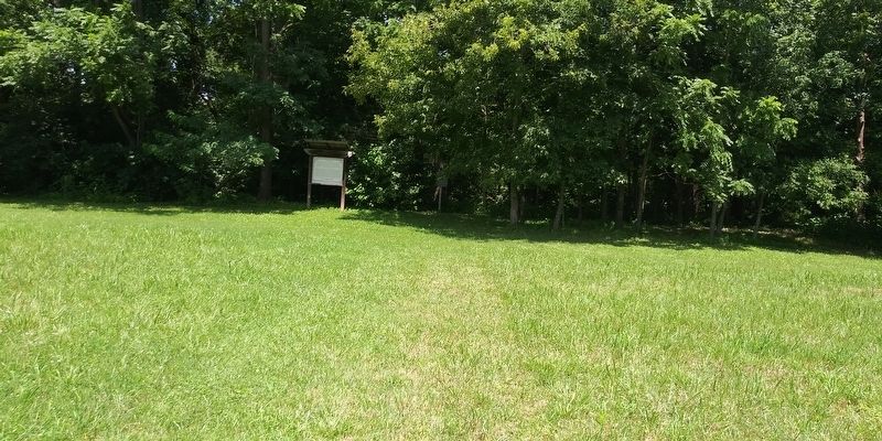
Location. 36° 27.267′ N, 80° 49.033′ W. Marker is near Beulah, North Carolina, in Surry County. Marker can be reached from Haystack Road (County Highway 1331) near Fisher Valley Road (Highway 1338), on the right when traveling east. Park at the Edwards-Franklin House. Two cemeteries are across the road, the Slave Cemetery is in the tree line. Touch for map. Marker is at or near this postal address: 4132 Haystack Rd, Mount Airy NC 27030, United States of America. Touch for directions.
Other nearby markers. At least 8 other markers are within 9 miles of this marker, measured as the crow flies. Jesse Franklin (approx. 4.6 miles away); Hardin Taliaferro (approx. 6.4 miles away); Sonker (approx. 6.6 miles away); Tabitha A. Holton (approx. 6.6 miles away); Stoneman’s Raid (approx. 6.6 miles away); Confederate Soldiers of Surry County (approx. 6.6 miles away); Fox Hunters Paradise (approx. 8.3 miles away); Richard Milton Strauser (approx. 8.6 miles away in Virginia).
Credits. This page was last revised on December 8, 2020. It was originally submitted on December 8, 2020, by Craig Doda of Napoleon, Ohio. This page has been viewed 261 times since then and 34 times this year. Photos: 1, 2, 3, 4. submitted on December 8, 2020, by Craig Doda of Napoleon, Ohio. • Bernard Fisher was the editor who published this page.


