Mechanicsville in Hanover County, Virginia — The American South (Mid-Atlantic)
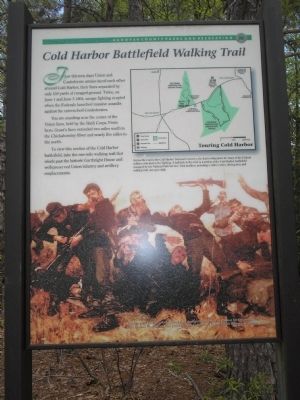
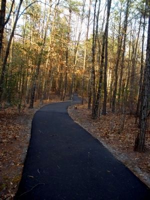
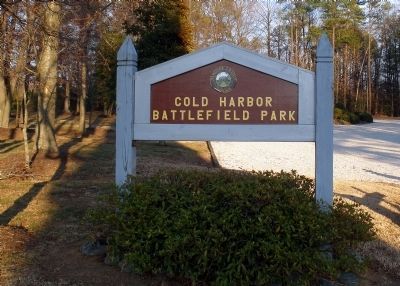
Cold Harbor Battlefield Walking Trail
Hanover County Parks and Recreation
You are standing near the center of the Union lines, held by the Sixth Corps. From here, Grant’s lines extended two miles south to the Chickahominy River and nearly five miles to the north.
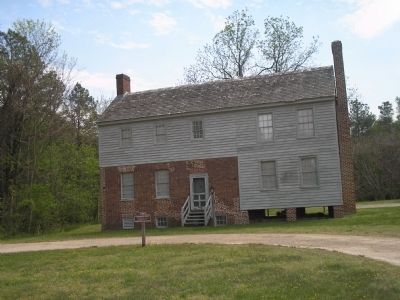
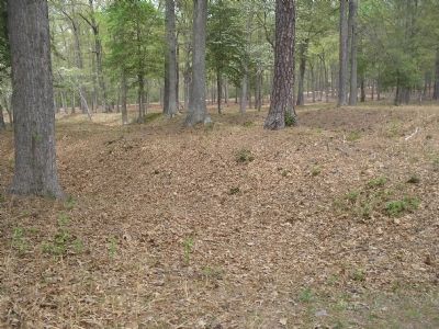
To view this section of the Cold Harbor battlefield, take the one-mile walking trail that winds past the historic Garthright House and well-preserved Union infantry and artillery emplacements.
Erected by Hanover County Parks and Recreation.
Topics and series. This historical marker is listed in this topic list: War, US Civil. In addition, it is included in the Battlefield Trails - Civil War series list. A significant historical month for this entry is June 1801.
Location. 37° 35.335′ N, 77° 16.649′ W. Marker is in Mechanicsville, Virginia, in Hanover County. Marker is on Cold Harbor Road (Virginia Route 156), on the right when traveling east. Marker is located across the road from the Cold Harbor National Cemetery. Touch for map. Marker is in this post office area: Mechanicsville VA 23111, United States of America. Touch for directions.
Other nearby markers. At least 8 other markers are within walking distance of this marker. The Battle Opens (within shouting distance of this marker); Cold Harbor: June 2, 1864 (within shouting distance of this marker); Garthright House (about 400 feet away, measured in a direct line); The Family Cemetery (about 500 feet away); From Farmland to Forest (about 500 feet away); Union Reserve Line (about 600 feet away); Pennsylvania Monument (approx. 0.2 miles away); Tomb of the Unknown Soldier (approx. 0.2 miles away). Touch for a list and map of all markers in Mechanicsville.
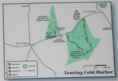
More about this marker. The bottom of the marker features a picture of fighting Union soldiers. It has a caption of “The Skirmish Line by artist Gilbert Gaul depicts the intensity of combat for Union soldiers at Cold Harbor. Courtesy of West Point Museum Collection, United States Military Academy.” The upper right of the marker contains a map of the Cold Harbor area, with the caption “Across the road is the Cold Harbor National Cemetery, the final resting-place for many of the Federal soldiers who died in the fighting. A half-mile to the west is a section of the Cold Harbor battlefield managed by the National Park Service. Park facilities, including a visitor center, driving tour, and walking trail, are open daily.”
Related markers.
Click here for a list of markers that are related to this marker. Take a Virtual Tour by Markers of the Cold Harbor Battlefield Park Walking Trail and Garthright House.
Also see . . .
1. Cold Harbor. CMSAC Battle Summaries webpage. (Submitted on January 11, 2009, by Bill Coughlin of Woodland Park, New Jersey.)
2. Cold Harbor. Richmond National Battlefield. (Submitted on January 11, 2009, by Bill Coughlin of Woodland Park, New Jersey.)
Credits. This page was last revised on June 16, 2016. It was originally submitted on January 11, 2009, by Bill Coughlin of Woodland Park, New Jersey. This page has been viewed 2,712 times since then and 27 times this year. Last updated on February 17, 2009, by Bernard Fisher of Richmond, Virginia. Photos: 1, 2, 3, 4. submitted on January 11, 2009, by Bill Coughlin of Woodland Park, New Jersey. 5, 6. submitted on February 17, 2009, by Bernard Fisher of Richmond, Virginia. • Craig Swain was the editor who published this page.
