Near Stanton in Mercer County, North Dakota — The American Midwest (Upper Plains)
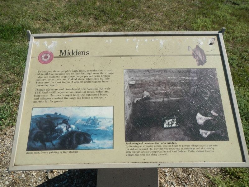
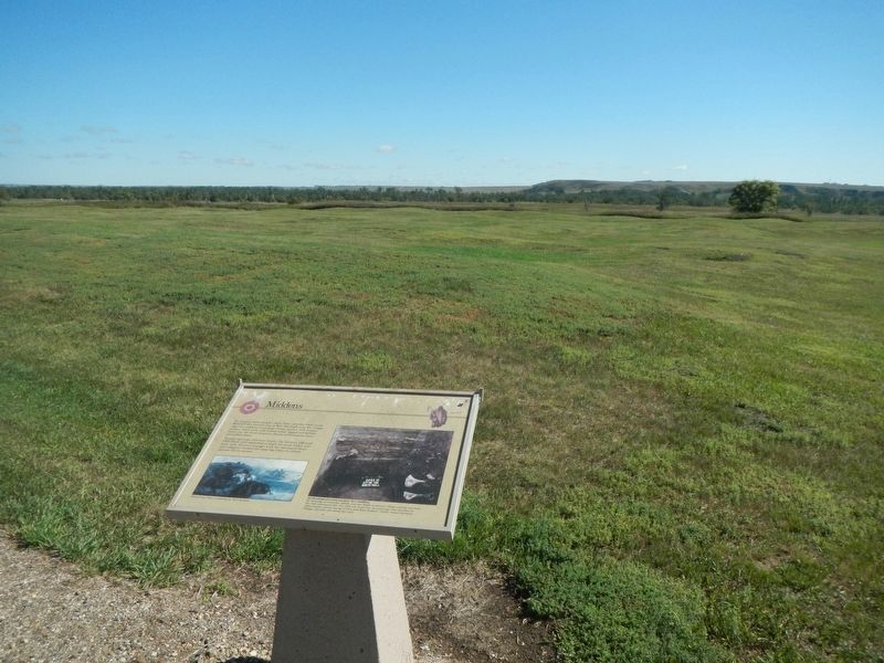
Middens

Photographed By Barry Swackhamer, August 28, 2020
1. Middens Marker
Captions: (bottom left) Bison hunt from a painting by Karl Bodmer; (right) Archeological cross-section of a midden. By focusing on everyday debris, you can begin to picture village activity yet miss the rich ceremonial life. For that you must rely on maintains and sketches by 19th-century artists George Catlin and Karl Bodmer. Catlin visited Awatixa Village, the nest site along the trail.
Though agrarian and river-bed, the Awatixa (Ah-wah-TEE-khah) still depended on bison for meat, hides, and bone tools. Hunters brought back the butchered bios and villagers crusher the large leg bones to extract marrow fat for grease.
Erected by Department of the Interior, National Parks Service.
Topics. This historical marker is listed in these topic lists: Anthropology & Archaeology • Native Americans.
Location. 47° 20.064′ N, 101° 23.018′ W. Marker is near Stanton, North Dakota, in Mercer County. Marker can be reached from County Road 37 near 6th Street Southwest, on the right when traveling north. This marker is located on the Knife River Indian Villages Village Trail. Touch for map. Marker is at or near this postal address: 546 County Road 37, Stanton ND 58571, United States of America. Touch for directions.
Other nearby markers. At least 8 other markers are within walking distance of this marker. Awatixa Xi'e Village (about 400 feet away, measured in a direct line); Hidatsa Garden (approx. 0.2 miles away); Lewis & Clark at the Knife River Indian Villages (approx. 0.2 miles away); Tobacco (approx. ¼ mile away); Feeding the River (approx. 0.4 miles away); Awatixa Village (approx. 0.4 miles away); Cutbank Archeaology (sic) (approx. 0.4 miles away); River-Centered (approx. 0.4 miles away). Touch for a list and map of all markers in Stanton.
Credits. This page was last revised on December 10, 2020. It was originally submitted on December 10, 2020, by Barry Swackhamer of Brentwood, California. This page has been viewed 69 times since then and 5 times this year. Photos: 1, 2. submitted on December 10, 2020, by Barry Swackhamer of Brentwood, California.
