Springfield in Greene County, Missouri — The American Midwest (Upper Plains)
Revolutionary War Memorial
Springfield National Cemetery
Photographed by Craig Doda, April 7, 2019
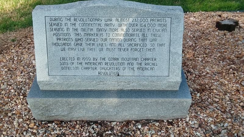
1. Springfield National Cemetery Revolutionary War Memorial
During the Revolutionary War, almost 232,000 patriots served in the Continental Army with over 164,000 more serving in the militia many more also served in civilian positions. This marker is to commemorate all those patriots who served our nation during that war. Thousands gave their lines, and all sacrificed so that we may live free we must never forget them.
Erected in 1999 by the Ozark Mountain Chapter, Sons of the American Revolution and the Rachel Donelson Chapter, Daughters of the American Revolution
Erected 1999 by Ozark Mountain Chapter & Rachel Donelson Chapter, Sons & Daughters of The American Revolution.
Topics and series. This memorial is listed in these topic lists: Cemeteries & Burial Sites • War, US Revolutionary. In addition, it is included in the Daughters of the American Revolution (DAR), the National Cemeteries, and the Sons of the American Revolution (SAR) series lists. A significant historical year for this entry is 1999.
Location. 37° 10.447′ N, 93° 15.841′ W. Memorial is in Springfield, Missouri, in Greene County. It is at the intersection of E. Seminole Street and Waverly Avenue, on
this page online

Regionally, this memorial is in the American Ozarks, in the Lewis & Clark Corridor, and in the Corn Belt. Globally, it is in North America, the Western Hemisphere, the Western World, and the Anglosphere. Historically, it finds itself in what was once the territory of the Mississippian Culture, the Louisiana Purchase, and the Antebellum South.
Other nearby markers. At least 8 other markers are within walking distance of this marker: Veterans Memorial (a few steps from this marker); Springfield National Cemetery (a few steps from this marker); A National Cemetery System (a few steps from this marker); Confederate Burials In The National Cemetery (about 500 feet away, measured in a direct line); Remember Pearl Harbor (about 500 feet away); American Veterans Memorial (about 500 feet away); Confederate Cemetery / Confederates (about 500 feet away); Vietnam Veterans Memorial (about 500 feet away). Touch for a list and map
Photographed by Craig Doda, April 7, 2019
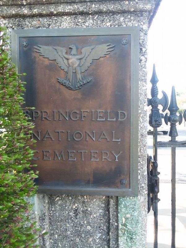
2. Springfield National Cemetery
Photographed by Jason Voigt, April 5, 2021
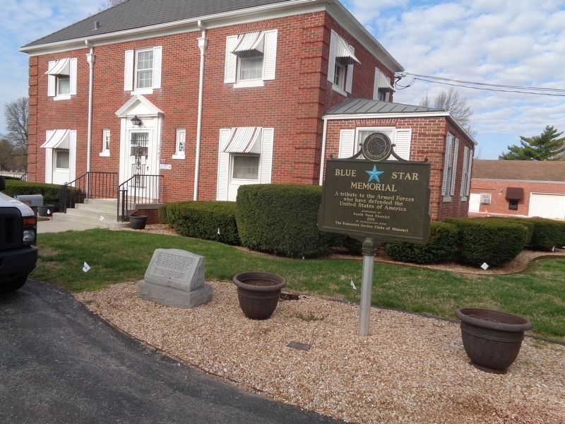
3. Revolutionary War Memorial
Credits. This page was last revised on May 17, 2021. It was originally submitted on December 10, 2020, by Craig Doda of Napoleon, Ohio. This page has been viewed 365 times since then and 38 times this year. Photos: 1, 2. submitted on December 10, 2020, by Craig Doda of Napoleon, Ohio. 3. submitted on April 12, 2021, by Jason Voigt of Glen Carbon, Illinois. • Michael Herrick was the editor who published this page.
