
Near Roundhill in Butler County, Kentucky — The American South (East South Central)
Gunshop Site
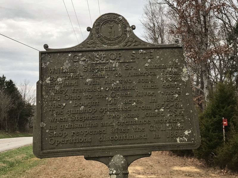
Photographed by Duane and Tracy Marsteller, November 29, 2020
1. Gunshop Site Marker
Erected 1966 by Kentucky Historical Society and Kentucky Department of Highways. (Marker Number 1265.)
Topics and series. This historical marker is listed in these topic lists: Industry & Commerce • War, US Civil. In addition, it is included in the Kentucky Historical Society series list. A significant historical year for this entry is 1832.
Location. 37° 9.609′ N, 86° 24.802′ W. Marker is near Roundhill, Kentucky, in Butler County. It is on Reedyville Road (State Road 185) 0.3 miles south of Lock 5 Road, on the left when traveling south. Touch for map. Marker is in this post office area: Roundhill KY 42275, United States of America. Touch for directions.

Regionally, this marker is in Kentucky’s Pennyroyal Region. It is also in the American
this page online
Other nearby markers. At least 8 other markers are within 10 miles of this marker, measured as the crow flies: Old Meeting House (approx. 5.3 miles away); Historic Entrance (approx. 8.3 miles away); Civil War Skirmish (approx. 8.3 miles away); Brownsville (approx. 8.3 miles away); Edmonson County Veterans Memorial (approx. 8.3 miles away); County Named, 1825 (approx. 8.3 miles away); In Honor of Sgt Pleas P. Sanders (approx. 8.3 miles away); Marvel Mills Logan (approx. 9.3 miles away).
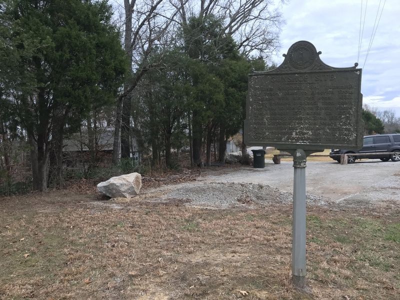
Photographed by Duane and Tracy Marsteller, November 29, 2020
2. Gunshop Site Marker
Credits. This page was last revised on December 12, 2020. It was originally submitted on December 10, 2020, by Duane and Tracy Marsteller of Murfreesboro, Tennessee. This page has been viewed 389 times since then and 28 times this year. Photos: 1, 2. submitted on December 10, 2020, by Duane and Tracy Marsteller of Murfreesboro, Tennessee.
