Near Stanton in Mercer County, North Dakota — The American Midwest (Upper Plains)
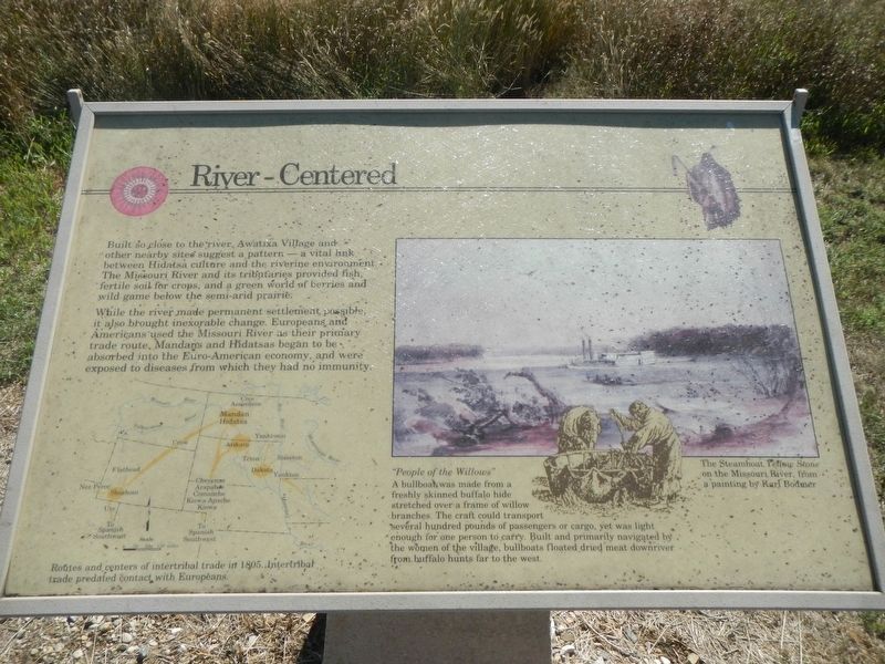
River-Centered
Inscription.
Built so close to the river, Awatixa Village and other nearby sites suggest a pattern - a vital link between Hidatsa culture and the riverine environment. The Missouri River and its tributaries provided fish, fertile soil for crops, and a green world of berries and wild game below the semi-arid prairie.
While the river made permanent settlement possible, it also brought inexorable change. Europeans and Americans used the Missouri River as their primary trade route. Mandans and Hidatsas began to be absorbed into the Euro-American economy, and were exposed to disease from which they had no immunity.
Erected by Department of the Interior, National Parks Service.
Topics. This historical marker is listed in these topic lists: Anthropology & Archaeology • Native Americans.
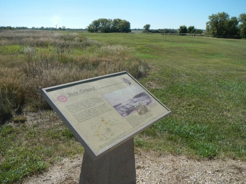
Location. 47° 20.427′ N, 101° 22.983′ W. Marker is near Stanton, North Dakota, in Mercer County. Marker can be reached from County Road 37 near 6th Street Southwest, on the right when traveling north. This marker is located on the Knife River Indian Villages Village Trail. Touch for map. Marker is in this post office area: Stanton ND 58571, United States of America. Touch for directions.
Other nearby markers. At least 8 other markers are within walking distance of this marker. Awatixa Village (about 300 feet away, measured in a direct line); Cutbank Archeaology (sic) (about 400 feet away); Feeding the River (about 800 feet away); Middens (approx. 0.4 miles away); Awatixa Xi'e Village (approx. half a mile away); Hidatsa Garden (approx. 0.6 miles away); Lewis & Clark at the Knife River Indian Villages (approx. 0.6 miles away); Tobacco (approx. 0.6 miles away). Touch for a list and map of all markers in Stanton.

Photographed By Karl Bodmer
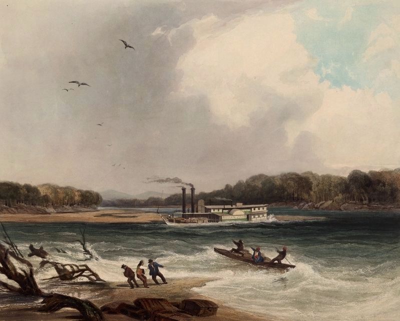
3. The Steamboat Yellow Stone by Karl Bodmer
"The first steamboat to journey to the Upper Missouri, the Yellow Stone, arrived at Fort Clark in 1832 and delivered 1,500 gallons of liquor and other trade goods. It returned to St. Louis carrying 100 packs of beaver pelts and bison robes from the fort." -- Fort Clark State Historic Site - History (https://www.history.nd.gov/historicsites/clark/clarkhistory.html)
Credits. This page was last revised on December 12, 2020. It was originally submitted on December 11, 2020, by Barry Swackhamer of Brentwood, California. This page has been viewed 69 times since then and 4 times this year. Photos: 1, 2, 3. submitted on December 11, 2020, by Barry Swackhamer of Brentwood, California.

