Near Stanton in Mercer County, North Dakota — The American Midwest (Upper Plains)
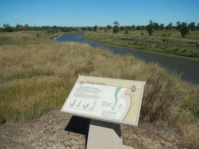
Feeding the River
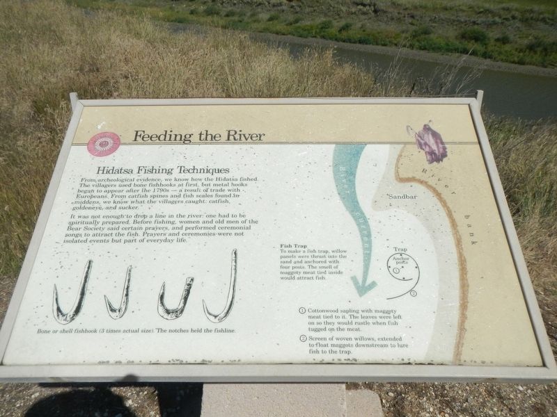
Hidatsa Fishing Techniques

Photographed By Barry Swackhamer, August 28, 2020
1. Feeding the River Marker
Captions: (lower left) Bone and shell fishhooks (3 times actual size). The notches held the fishline.; (right) Diagram of a Fish Trap To make a fish trap, willow panels were thrust into the sand and anchored with four posts. the smell of maggoty meat tided inside would attract fish. ➀ Cotton wood saplings with maggoty meat tied it. The leaves were left on so they would rustle when the fish tugged on the meat. ➁ Screen of woven willows - extended to float maggots downstream to lure fish into the trap.
It was not enough to drop a line in the river: one had to be spiritually prepared. Before fishing, women and old men of the Bear Society said certain prayers, and preformed ceremonial songs to attract the fish. Prayers and ceremonies were not isolated events but part of everyday life.
Erected by Department of the Interior, National Parks Service.
Topics. This historical marker is listed in these topic lists: Anthropology & Archaeology • Native Americans.
Location. 47° 20.346′ N, 101° 22.842′ W. Marker is near Stanton, North Dakota, in Mercer County. Marker can be reached from County Road 37 near 6th Street Southwest, on the right when traveling north. This marker is located on the Knife River Indian Villages Village Trail. Touch for map. Marker is at or near this postal address: 546 County Road 37, Stanton ND 58571, United States of America. Touch for directions.
Other nearby markers. At least 8 other markers are within walking distance of this marker. Cutbank Archeaology (sic) (about 300 feet away, measured in a direct line); Awatixa Village (about 600 feet away); River-Centered (about 800 feet away); Middens (approx. 0.4 miles away); Awatixa Xi'e Village (approx. 0.4 miles away); Hidatsa Garden (approx. half a mile away); Lewis & Clark at the Knife River Indian Villages (approx. half a mile away); Tobacco (approx. 0.6 miles away). Touch for a list and map of all markers in Stanton.
Credits. This page was last revised on December 11, 2020. It was originally submitted on December 11, 2020, by Barry Swackhamer of Brentwood, California. This page has been viewed 82 times since then and 7 times this year. Photos: 1, 2. submitted on December 11, 2020, by Barry Swackhamer of Brentwood, California.
