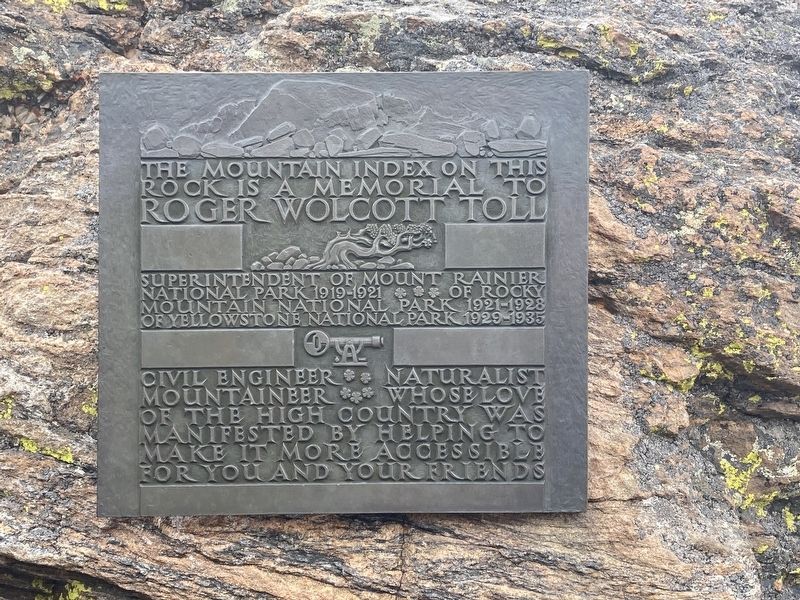
Roger Wolcott Toll
Superintendent of Mount Rainer National Park 1919-1921 *** of Rocky Mountain National Park 1921-1928 of Yellowstone National Park 1929-1935
Civil Engineer ** Naturalist Mountaineer *** Whose love of the high country was manifested by helping to make it more accessible for you and your friends
Topics. This historical marker is listed in this topic list: Parks & Recreational Areas. A significant historical year for this entry is 1919.
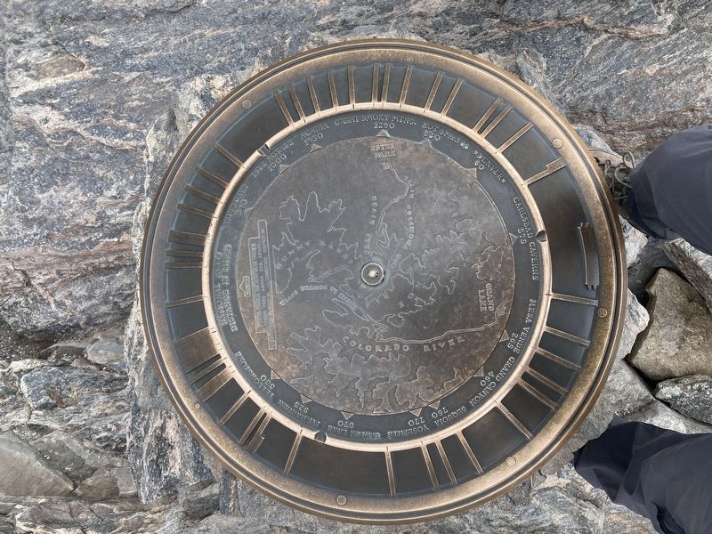
Location. 40° 24.861′ N, 105° 43.44′ W. Marker is near Estes Park, Colorado, in Larimer County. Marker can be reached from Toll Memorial Trail. Mounted on a boulder on the Tundra Communities Trail. Touch for map. Marker is in this post office area: Estes Park CO 80517, United States of America. Touch for directions.
Other nearby markers. At least 8 other markers are within 6 miles of this marker, measured as the crow flies. Trail Ridge Road at Rock Cut (approx. half a mile away); Old Fall River Road (approx. 2.4 miles away); Gore Range (approx. 2.7 miles away); Horseshoe Park (approx. 3.3 miles away); Changing Times Bring Changing Uses (approx. 3.8 miles away); Ancient Paths, Ancient Peoples (approx. 3.8 miles away); Continental Divide (approx. 4.6 miles away); Rocky Mountain’s “Parks” (approx. 5.2 miles away). Touch for a list and map of all markers in Estes Park.
Credits. This page was last revised on December 24, 2020. It was originally submitted on December 12, 2020, by Connor Olson of Kewaskum, Wisconsin. This page has been viewed 478 times since then and 60 times this year. Photos: 1, 2. submitted on December 12, 2020, by Connor Olson of Kewaskum, Wisconsin. • Bill Pfingsten was the editor who published this page.

