Kerrville in Kerr County, Texas — The American South (West South Central)
Starkey Cemetery
Photographed by James Hulse, June 26, 2026
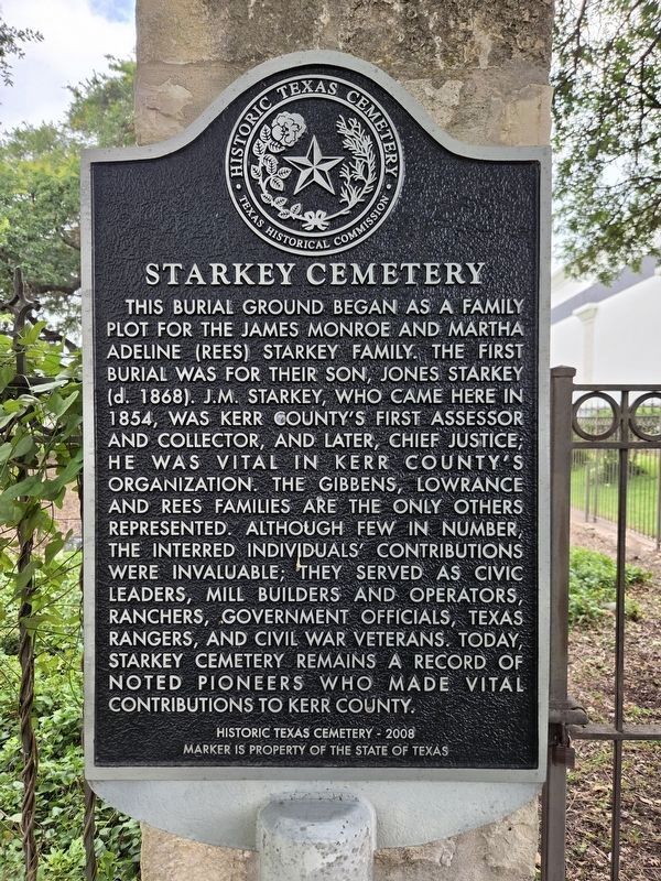
1. Starkey Cemetery Marker
This burial ground began as a family plot for the James Monroe and Martha Adeline (Rees) Starkey family. The first burial was for their son, Jones Starkey (d. 1868). J.M. Starkey, who came here in 1854, was Kerr County’s first Assessor and Collector, and later, Chief Justice; he was vital in Kerr County’s organization. The Gibbens, Lowrance and Rees families are the only others represented. Although few in number, the interred individuals’ contributions were invaluable; they served as civic leaders, mill builders and operators, ranchers, government officials, Texas Rangers, and Civil War veterans. Today, Starkey Cemetery remains a record of noted pioneers who made vital contributions to Kerr County.
Historic Texas Cemetery - 2008
Marker is property of the State of Texas
Erected 2008 by Texas Historical Commission. (Marker Number 15810.)
Topics. This historical marker is listed in these topic lists: Cemeteries & Burial Sites • Industry & Commerce. A significant historical year for this entry is 1854.
Location. 30° 3.663′ N, 99° 10.051′ W. Marker is in Kerrville, Texas, in Kerr County. It is at the intersection of Junction
this page online

Regionally, this marker is in the Hill Country. Globally, it is in North America, a Gulf of Mexico state, the Western Hemisphere, the Western World, and the Anglosphere. Historically, it finds itself in what was once New Spain, the Republic of Texas, and one of the Confederate States of America.
Other nearby markers. At least 8 other markers are within 2 miles of this marker, measured as the crow flies: Kerrville Lodge No. 697, A.F. & A.M. (approx. 0.4 miles away); Order of the Eastern Star Kerrville Chapter #24 (approx. 0.4 miles away); Methodist Encampment Community (approx. 0.9 miles away); Gatlin Site (approx. 0.9 miles away); First Christian Church (approx. one mile away); The Famous Door Cafe (approx. 1.4 miles away); Mount Olive Baptist Church (approx. 1.4 miles away); Doyle Colored School (approx. 1½ miles away). Touch for a list and map
Photographed by James Hulse, December 5, 2020
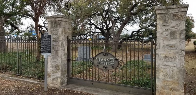
2. Starkey Cemetery and Marker
Another marker is no longer nearby. Old Spanish Trail (was approx. ¼ mile away but has been confirmed missing).
Photographed by James Hulse, December 5, 2020
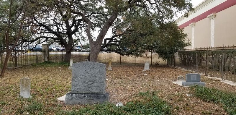
3. Starkey Cemetery
Photographed by James Hulse, December 5, 2020
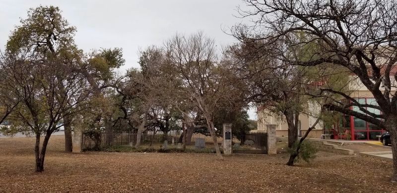
4. Starkey Cemetery Marker
Credits. This page was last revised on July 2, 2026. It was originally submitted on December 12, 2020, by James Hulse of Medina, Texas. This page has been viewed 1,084 times since then and 127 times this year. Photos: 1. submitted on July 2, 2026, by James Hulse of Medina, Texas. 2, 3, 4. submitted on December 12, 2020, by James Hulse of Medina, Texas. • J. Makali Bruton was the editor who published this page.
