Forgan in Beaver County, Oklahoma — The American South (West South Central)
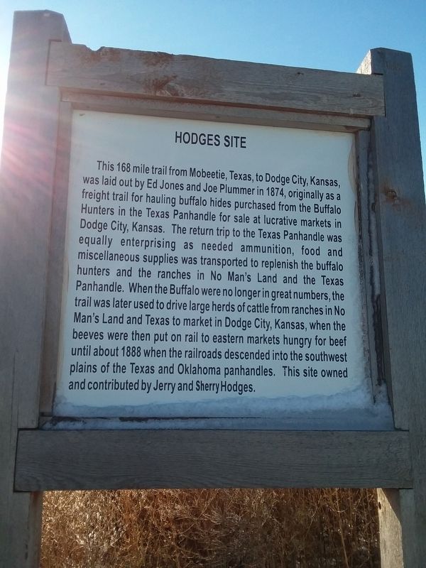
Hodges Site
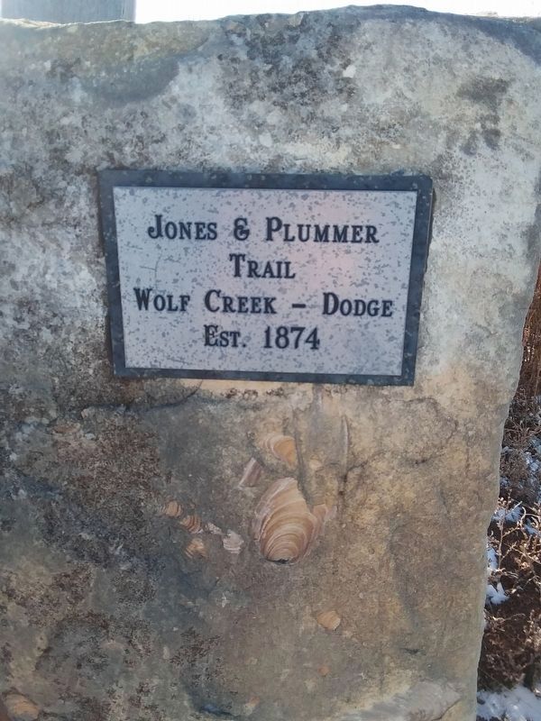
This 168 mile trail from Mobeetie, Texas, to Dodge City, Kansas, was laid out by Ed Jones and Joe Plummer in 1874, originally as a freight trail for hauling buffalo hides purchased from the Buffalo Hunters in the Texas Panhandle for sale at lucrative markets in Dodge City, Kansas. The return trip to the Texas Panhandle was equally enterprising as needed ammunition, food and miscellaneous supplies was transported to replenish the buffalo hunters and the ranches in No Man's Land and the Texas Panhandle. When the Buffalo were no longer in great numbers, the trail was later used to drive large herds of cattle from ranches in No Man's Land and Texas to market in Dodge City, Kansas, when the beeves were then put on rail to eastern markets hungry for beef until about 1888 when the railroads descended into the southwest plains of the Texas and Oklahoma panhandles. This site owned and contributed by Jerry and Sherry Hodges.
Topics. This historical marker is listed in these topic lists: Roads & Vehicles • Settlements & Settlers. A significant historical year for this entry is 1874.
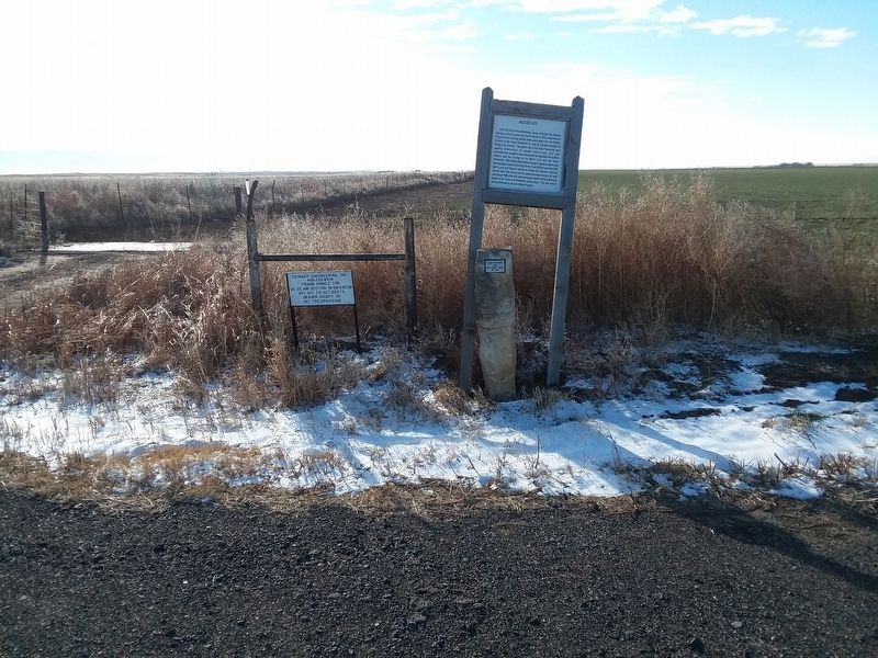
Location. 36° 54.4′ N, 100° 29.967′ W. Marker is in Forgan, Oklahoma, in Beaver County. Marker is on U.S. 64, on the left when traveling west. Touch for map. Marker is in this post office area: Forgan OK 73938, United States of America. Touch for directions.
Other nearby markers. At least 2 other markers are within 3 miles of this marker, measured as the crow flies. In This Vicinity Coronado Passed 1541 (approx. ¾ mile away); Hank the Cowdog (approx. 2.1 miles away).
Credits. This page was last revised on December 13, 2020. It was originally submitted on December 13, 2020, by Craig Doda of Napoleon, Ohio. This page has been viewed 328 times since then and 18 times this year. Photos: 1, 2, 3. submitted on December 13, 2020, by Craig Doda of Napoleon, Ohio. • J. Makali Bruton was the editor who published this page.


