Huasca de Ocampo, Hidalgo, Mexico — The Central Highlands (North America)
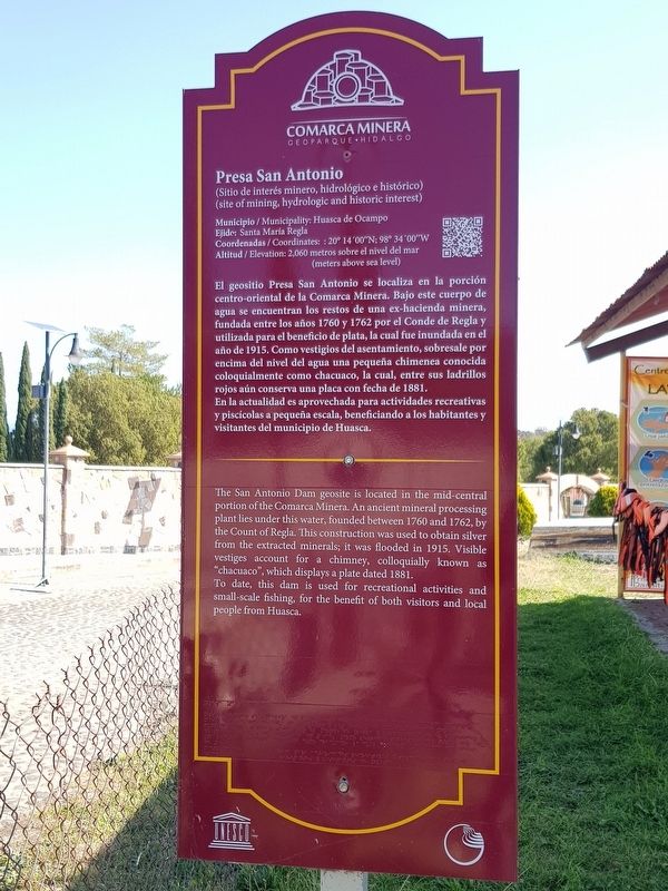
The San Antonio Dam
Comarca Minera
— Geoparque Hidalgo —
(Sitio de interés minero, hidrológico e histórico)
(site of mining, hydrologic and historic interest)
Municipio / Municipality: Huasca de Ocampo
Ejido: Santa Maria Regla
Coordenadas / Coordinates: : 20° 14'00"N; 98° 34'00"W
Altitud / Elevation: 2,060 metros sobre el nivel del mar (meters above sea level)
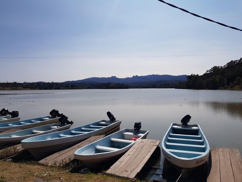
El geositio Presa San Antonio se localiza en la porción centro-oriental de la Comarca Minera. Bajo este cuerpo de agua se encuentran los restos de una ex-hacienda minera, fundada entre los años 1760 y 1762 por el Conde de Regla y utilizada para el beneficio de plata, la cual fue inundada en el año de 1915. Como vestigios del asentamiento, sobresale por encima del nivel del agua una pequeña chimenea conocida coloquialmente como chacuaco, la cual, entre sus ladrillos rojos aún conserva una placa con fecha de 1881. En la actualidad es aprovechada para actividades recreativas y piscícolas a pequeña escala, beneficiando a los habitantes y visitantes del municipio de Huasca.
The San Antonio Dam
The San Antonio Dam geosite is located in the mid-central portion of the Comarca Minera. An ancient mineral processing plant lies under this water, founded between 1760 and 1762, by the Count of Regla. This construction was used to obtain silver from the extracted minerals; it was flooded in 1915. Visible vestiges account for a chimney, colloquially known as "chacuaco", which displays a plate dated 1881. To date, this dam is used for recreational activities and small-scale fishing, for the benefit of both visitors and local people from Huasca.
Topics. This historical marker is listed in these topic lists: Colonial Era • Waterways & Vessels. A significant historical year for this entry is 1760.
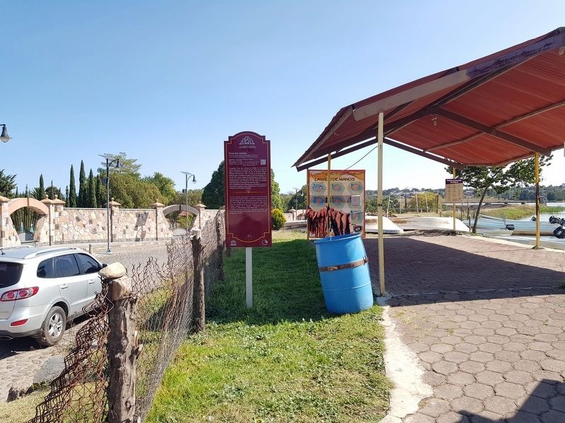
Location. 20° 14.028′ N, 98° 33.912′ W. Marker is in Huasca de Ocampo, Hidalgo. Marker is on Camino a San Juan Hueyapan, on the right when traveling east. Touch for map. Marker is in this post office area: Huasca de Ocampo HGO 43505, Mexico. Touch for directions.
Other nearby markers. At least 8 other markers are within 11 kilometers of this marker, measured as the crow flies. Basaltic Prisms (about 150 meters away, measured in a direct line); a different marker also named Basaltic Prisms (about 150 meters away); The Beauty of Geometric Lava (about 210 meters away); Basaltic Prisms of Santa María Regla (approx. 0.3 kilometers away); The Church of San Juan Bautista (approx. 3.6 kilometers away); Consuelo Velásquez Sosa (approx. 3.6 kilometers away); Coronel José María Pérez (approx. 11.3 kilometers away); Benito Juárez (approx. 11.4 kilometers away). Touch for a list and map of all markers in Huasca de Ocampo.
Credits. This page was last revised on December 13, 2020. It was originally submitted on December 13, 2020, by J. Makali Bruton of Accra, Ghana. This page has been viewed 72 times since then and 8 times this year. Photos: 1, 2, 3. submitted on December 13, 2020, by J. Makali Bruton of Accra, Ghana.


