
Atlanta in Logan County, Illinois — The American Midwest (Great Lakes)
1870 Atlanta Public School Stone
Photographed by Jason Voigt, September 28, 2020
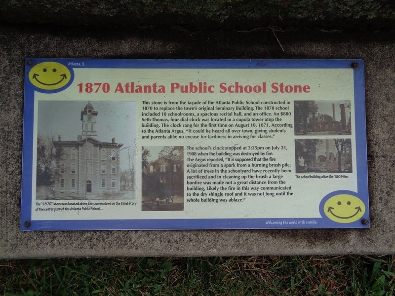
1. 1870 Atlanta Public School Stone Marker
The school's clock stopped at 3:35pm on July 21, 1908 when the building was destroyed by fire. The Argus reported, "It is supposed that the fire originated from a spark from a burning brush pile. A lot of trees in the schoolyard have recently been sacrificed and in cleaning up the brush a large bonfire was made not a great distance from the building, Likely the fire in this way communicated to the dry shingle roof and it was not long until the whole building was ablaze."
Erected by City of Atlanta, Illinois.
Topics. This historical marker is listed in these topic lists: Education • Parks & Recreational Areas. A significant historical date for this entry is August 10, 1871.
Location. This marker has been replaced by another marker nearby.
this page online

Regionally, this marker was in Central Illinois and in Greater Springfield. It was also in the American Midwest and in the Corn Belt. Globally, it was in North America, the Western Hemisphere, the Western World, and the Anglosphere. Historically, it found itself in what was once the territory of the Mississippian Culture and also the Northwest Territory.
Other nearby markers. At least 8 other markers are within walking distance of this location: 1870 Public School Stone (here, next to this marker); Being the First: African-Americans in Atlanta (here, next to this marker); a different marker also named Atlanta High School Cornerstone (here, next to this marker); a different marker also
Photographed by Jason Voigt, September 28, 2020
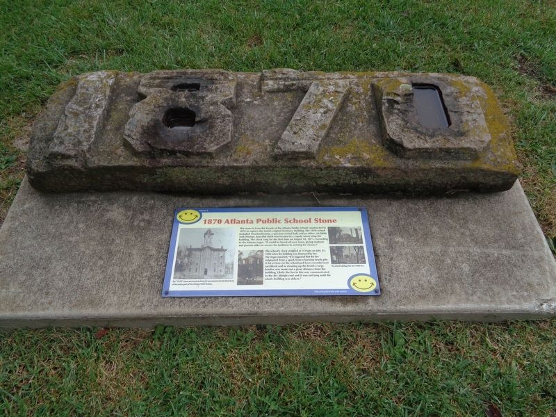
2. 1870 Atlanta Public School Stone Marker
Other markers no longer nearby. Atlanta High School Cornerstone (was here, next to this marker but has been replaced with another marker now near it); Knights of Pythias "Memorial Tree" Stone (was here, next to this marker but has been replaced with another marker now near it); Field Marker Stone (was here, next to this marker but has been replaced with another marker now near it); Welcome to the Atlanta Route 66 Park (was a few steps from this marker but has been confirmed missing); Drinking Fountain (was a few steps from this marker but has been replaced with another marker now near it); "Atlanta: Midway on Illinois' Mother Road" Mural (was a few steps from this marker but has been replaced with another marker now near it).
Photographed by Jason Voigt, September 28, 2020
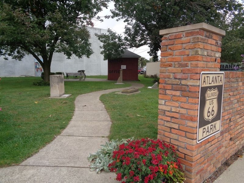
3. Route 66 Park
Marker is located here, along with several local pieces of history.
Credits. This page was last revised on February 24, 2025. It was originally submitted on December 14, 2020, by Jason Voigt of Glen Carbon, Illinois. This page has been viewed 346 times since then and 14 times this year. Photos: 1, 2. submitted on December 14, 2020, by Jason Voigt of Glen Carbon, Illinois. 3. submitted on November 25, 2020, by Jason Voigt of Glen Carbon, Illinois.
