Schenectady in Schenectady County, New York — The American Northeast (Mid-Atlantic)
Canal Aqueduct
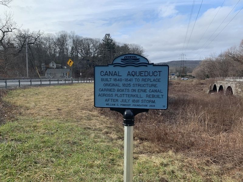
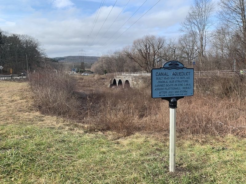
Built 1840-1841 to replace original 1825 structure. Carried boats on Erie Canal across Plotterkill. Rebuilt after July 1891 storm.
Erected 2020 by William G. Pomeroy Foundation. (Marker Number 10.)
Topics and series. This historical marker is listed in this topic list: Waterways & Vessels. In addition, it is included in the Erie Canal, the Historic Transportation Canals, and the William G. Pomeroy Foundation series lists. A significant historical month for this entry is July 1891.
Location. 42° 50.768′ N, 74° 0.725′ W. Marker is in Schenectady, New York, in Schenectady County. Marker is on New York State Route 5S, 0.1 miles west of New York State Route 890, on the right when traveling north. Touch for map. Marker is in this post office area: Schenectady NY 12306, United States of America. Touch for directions.
Other nearby markers. At least 8 other markers are within 2 miles of this marker, measured as the crow flies. Plotter Kill Aqueduct (about 500 feet away, measured in a direct line); Pre-Columbian Cemetery (approx. 0.6 miles away); Alan Fairbanks (approx. 0.9 miles away); The Movable Dam at Lock 8 (approx. 1.6 miles away); Jan Mabee House (approx. 1.6 miles away); a different marker also named Jan Mabee House (approx. 1.7 miles away); Sacandaga Road (approx. 1.7 miles away); The Beukendaal Battle (approx. 1.7 miles away).
Also see . . . Old Plotter Kill Aqueduct - Erie Canal. The Travels of Tug 44 website entry:
Photos of the Plotter Kill Aqueduct (Submitted on May 25, 2021, by Howard C. Ohlhous of Duanesburg, New York.)
Credits. This page was last revised on July 27, 2022. It was originally submitted on December 16, 2020, by Steve Stoessel of Niskayuna, New York. This page has been viewed 151 times since then and 19 times this year. Photos: 1, 2. submitted on December 16, 2020, by Steve Stoessel of Niskayuna, New York. • Michael Herrick was the editor who published this page.

