St. Charles in St. Charles County, Missouri — The American Midwest (Upper Plains)
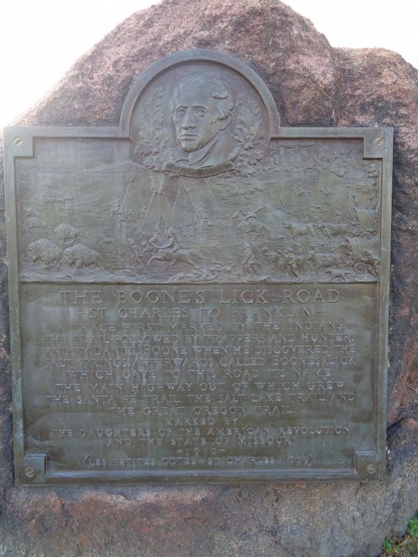
The Boone's Lick Road
St. Charles to Franklin
Erected 1913 by Daughters of the American Revolution and the State of Missouri.
Topics and series. This historical marker is listed in these topic lists: Native Americans • Roads & Vehicles. In addition, it is included in the Daughters of the American Revolution series list.
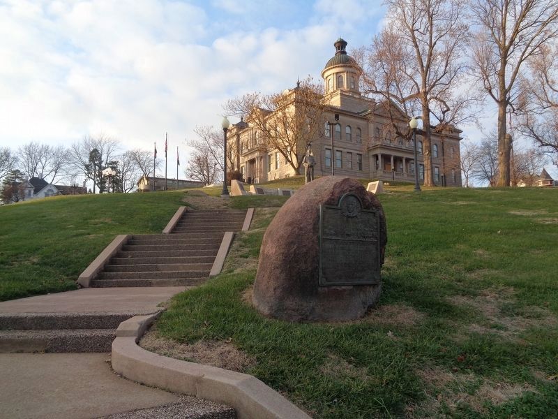
Location. 38° 46.903′ N, 90° 28.956′ W. Marker is in St. Charles, Missouri, in St. Charles County. Marker is at the intersection of South 2nd Street and Jefferson Street, on the left when traveling north on South 2nd Street. Touch for map. Marker is at or near this postal address: 101 S 2nd St, Saint Charles MO 63301, United States of America. Touch for directions.
Other nearby markers. At least 8 other markers are within walking distance of this marker. Native American Influence (a few steps from this marker); San Carlos Borromeo / Origin of St. Charles (a few steps from this marker); French Influence (a few steps from this marker); German Immigration (a few steps from this marker); African Influence (a few steps from this marker); Spanish Influence (a few steps from this marker); Missouri's Origin (within shouting distance of this marker); The Dr. John H. Stumberg Home (about 300 feet away, measured in a direct line). Touch for a list and map of all markers in St. Charles.
Also see . . . Boone's Lick Road on Wikipedia. (Submitted on December 16, 2020, by Jason Voigt of Glen Carbon, Illinois.)
Credits. This page was last revised on December 16, 2020. It was originally submitted on December 16, 2020, by Jason Voigt of Glen Carbon, Illinois. This page has been viewed 364 times since then and 69 times this year. Photos: 1, 2. submitted on December 16, 2020, by Jason Voigt of Glen Carbon, Illinois.

