Hart's Location in Carroll County, New Hampshire — The American Northeast (New England)
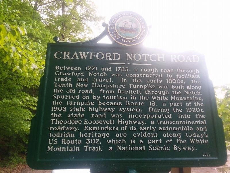
Crawford Notch Road
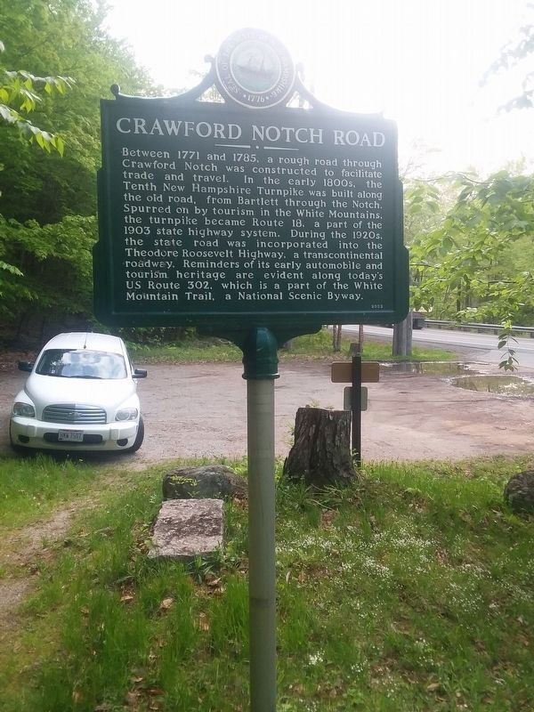
Between 1771 and 1785, a rough road through Crawford Notch was constructed to facilitate trade and travel. In the early 1800s, the Tenth New Hampshire Turnpike was built along the old road, from Bartlett through the Notch. Spurred on by tourism in the White Mountains, the turnpike became Route 18, a part of the 1903 state highway system. During the 1920s, the state road was incorporated into the Theodore Roosevelt Highway, a transcontinental roadway. Reminders of its early automobile and tourism heritage are evident along today's US Route 302, which is a part of the White Mountain Trail, a National Scenic Byway.
Erected 2003.
Topics. This historical marker is listed in this topic list: Roads & Vehicles. A significant historical year for this entry is 1771.
Location. 44° 4.55′ N, 71° 19.667′ W. Marker is in Hart's Location, New Hampshire, in Carroll County. Marker is on U.S. 302 west of White Mountain Road (New Hampshire Route 16), on the left when traveling west. The marker is located in a White Mountain National Forest picnic area off U.S. 302, west of the town of Bartlett, NH, and southeast of the Crawford Notch State Park. Touch for map. Marker is in this post office area: Bretton Woods NH 03575, United States of America. Touch for directions.
Other nearby markers. At least 8 other markers are within 7 miles of this marker, measured as the crow flies. Sawyer's Rock (a few steps from this marker); Bartlett Snow Roller (approx. 2.3 miles away); Bartlett, N.H. Veterans Memorial (approx. 2.3 miles away); Piece of Sawyer's Rock (approx. 2.3 miles away); Sgt. Brian Adams (approx. 5.8 miles away); Frankenstein Trestle (approx. 5.8 miles away); How Sabbaday Falls Got Its Name (approx. 6.3 miles away); By Foot and Horseback, Stagecoach and Car (approx. 6.3 miles away). Touch for a list and map of all markers in Hart's Location.
Credits. This page was last revised on December 20, 2020. It was originally submitted on December 16, 2020, by Craig Doda of Napoleon, Ohio. This page has been viewed 251 times since then and 51 times this year. Photos: 1, 2. submitted on December 16, 2020, by Craig Doda of Napoleon, Ohio. • Michael Herrick was the editor who published this page.

