Yard Evolution: New Power and Production
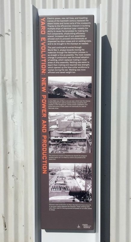
The yard continued to evolve through World War II, always towards moving the materials through the fabrication process in as straight a line as possible. The most notable change in production was the broad adoption of welding, which replaced riveting in most areas of ship assembly. Welding was easier to teach than riveting and required less strength, which opened up the blue-collar workforce to women during the war. Welding was more efficient and saved weight too.
(first caption:) In this 1904 view of Slip 4, one can see a shed over the slipway in the background-used to prevent delays caused by bad weather. In the foreground, a boiler awaits installation and acres and acres of steel plates will eventually be used to fabricate ships.
(second caption:) This enormous section of deckhouse dwarfs the shipyard workers below as it is lifted by crane to be joined to the ship's hull.
(third caption:) Efficient mass-production of ships required enormous amounts of lay-down space adjacent the slipways. These welding slabs were often used for tracing plywood templates to cut steel plates to shape.
Erected 2020 by Union Iron Works Historic District.
Topics. This historical marker is listed in these topic lists: Industry & Commerce • Waterways & Vessels. A significant historical year for this entry is 1904.
Location. 37° 45.774′ N,
this page online

Regionally, this marker is on the Coast Ranges. It is also on the American Pacific Coast. Globally, it is in North America, on the Ring of Fire, on the Pacific Rim, in the Western Hemisphere, in the Western World, and in the Anglosphere. Historically, it finds itself in what was once New Spain and also Mexico’s Alta California.
Other nearby markers. At least 8 other markers are within walking distance of this marker: Building 49 (here, next to this marker); Industrial Architecture (a few steps from this marker); Yard Layout: Form Follows Function (a few steps from this marker); Crane 14 (within shouting distance of this marker); Ship Propeller Drive Shaft (within shouting distance of this marker); Industrialization of the Shoreline (about 300 feet away, measured in a direct line);
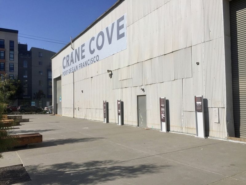
More about this marker. The marker is located on the south side of Building 49 in Crane Cove Park.
Credits. This page was last revised on February 7, 2023. It was originally submitted on December 17, 2020, by Andrew Ruppenstein of Lamorinda, California. This page has been viewed 236 times since then and 20 times this year. Photos: 1, 2. submitted on December 17, 2020, by Andrew Ruppenstein of Lamorinda, California.
