Fort Wayne in Allen County, Indiana — The American Midwest (Great Lakes)
Headwaters Park
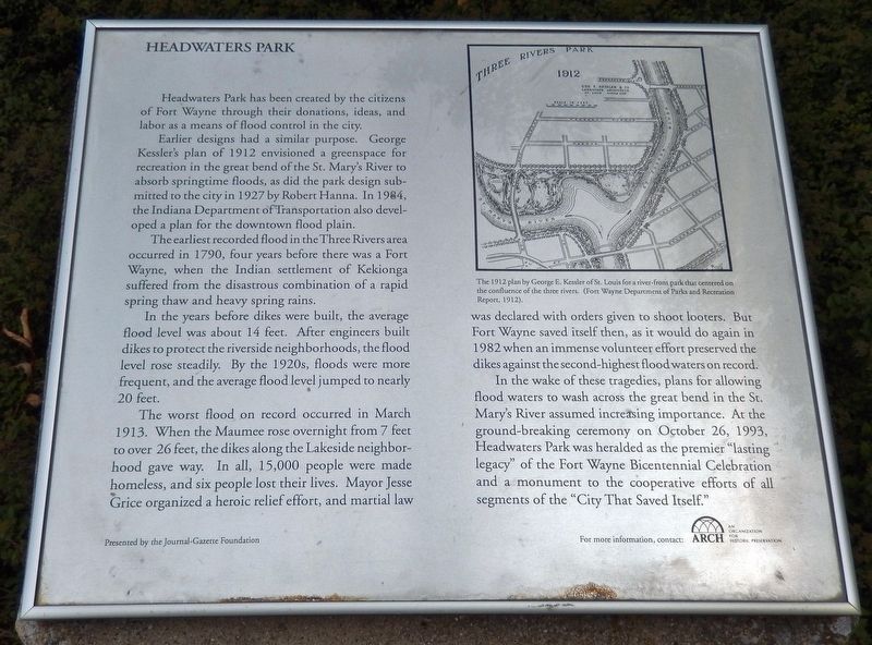
Headwaters Park has been created by the citizens of Fort Wayne through their donations, ideas, and labor as a means of flood control in the city.
Earlier designs had a similar purpose. George Kessler's plan of 1912 envisioned a greenspace for recreation in the great bend of the St. Mary's River to absorb springtime floods, as did the park design submitted to the city in 1927 by Robert Hanna. In 1984, the Indiana Department of Transportation also developed a plan for the downtown flood plain.
The earliest recorded flood in the Three Rivers area occurred in 1790, four years before there was a Fort Wayne, when the Indian settlement of Kekionga suffered from the disastrous combination of a rapid spring thaw and heavy spring rains.
In the years before dikes were built, the average flood level was about 14 feet. After engineers built dikes to protect the riverside neighborhoods, the flood level rose steadily. By the 1920s, floods were more frequent, and the average flood level jumped to nearly 20 feet.
The worst flood on record occurred in March 1913. When the Maumee rose overnight from 7 feet to over 26 feet, the dikes along the Lakeside neighborhood gave way. In all, 15,000 people were made homeless, and six people lost their lives. Mayor Jesse Grice organized a heroic relief effort, and martial law was declared with orders given to shoot looters. But Fort Wayne saved itself then, as it would do again in 1982 when an immense volunteer effort preserved the dikes against the second-highest floodwaters on record.
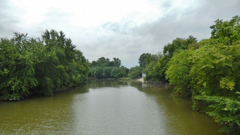
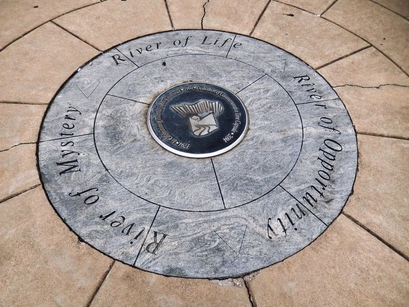
In the wake of these tragedies, plans for allowing flood waters to wash across the great bend in the St. Mary's River assumed increasing importance. At the ground-breaking ceremony on October 26, 1993, Headwaters Park was heralded as the premier "lasting legacy" of the Fort Wayne Bicentennial Celebration and a monument to the cooperative efforts of all segments of the "City That Saved Itself."
Erected by by Journal-Gazette Foundation, and Organization for Historic Preservation (ARCH).
Topics and series. This historical marker is listed in these topic lists: Charity & Public Work • Disasters • Parks & Recreational Areas • Waterways & Vessels. In addition, it is included in the Time Capsules series list.
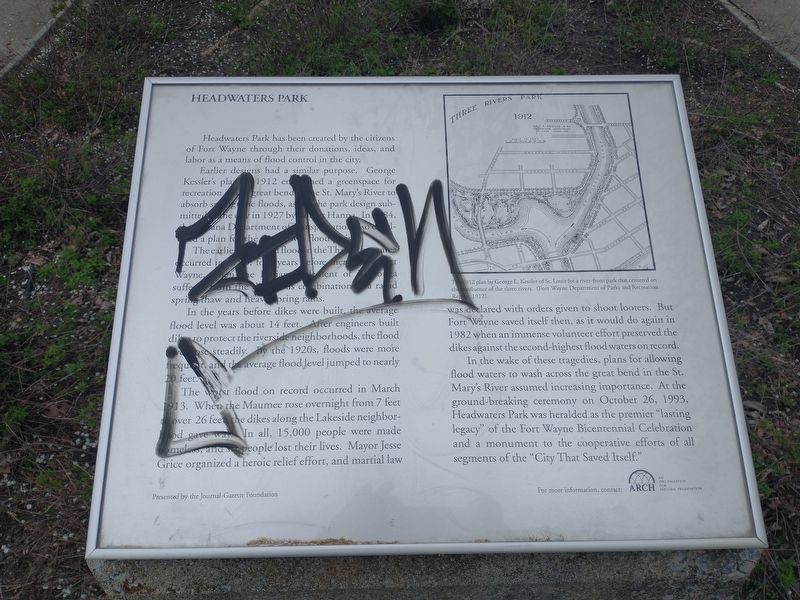
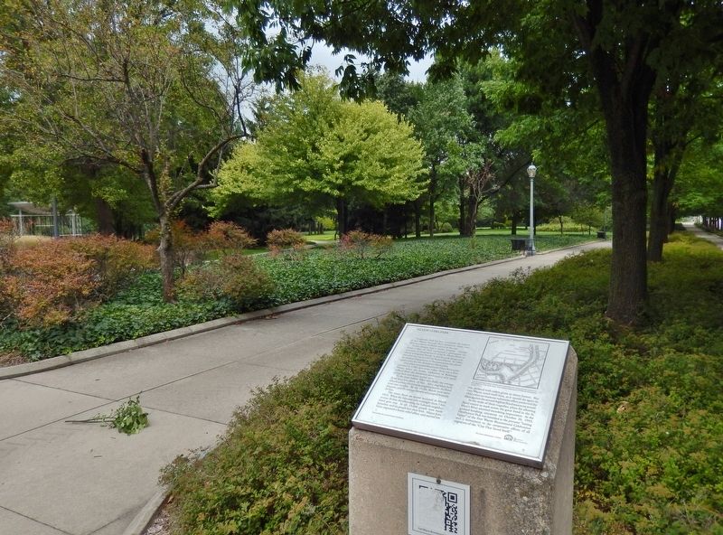
Location. 41° 5.083′ N, 85° 8.383′ W. Marker has been reported damaged. Marker is in Fort Wayne, Indiana, in Allen County. Marker can be reached from South Clinton Street (U.S. 27) 0.3 miles south of East 4th Street, on the right when traveling south. Marker is located along the walkway in Headwaters Park. Touch for map
. Marker is at or near this postal address: 333 South Clinton Street, Fort Wayne IN 46802, United States of America. Touch for directions.
Other nearby markers. At least 8 other markers are within walking distance of this location. The Concrete Restoration Walls (a few steps from this marker); Flood Retention Walls (within shouting distance of this marker); First Americans (about 300 feet away, measured in a direct line); a different marker also named Headwaters Park (about 300 feet away); Early Effort To Build A Park (about 400 feet away); The Fur Traders and the Military at Fort Wayne (about 400 feet away); Miami Legend of the Sandhill Crane (about 400 feet away); The Floods (about 400 feet away). Touch for a list and map of all markers in Fort Wayne.
Also see . . .
1. Headwaters Park. Headwaters Park is located in “The Thumb” of the St. Mary’s River; before it became what it is today, it was used for several different things such home to the circus in the 1850’s and as the hanging grounds. Just north of the “Jail Flats”, it was used for this purpose until the 1880s. In the 1930s, the park became a site for “Shantytowns”; the park was filled with makeshift shacks for the homeless who tried to live through the Depression. In the 1940s and 1950s, Headwaters Park was occupied with service stations, retail
businesses, and car dealerships. Almost the entire park was comprised of businesses and parking lots by 1960. (Submitted on December 19, 2020, by Cosmos Mariner of Cape Canaveral, Florida.)
2. Headwaters Park. Architecture & Community Heritage · Fort Wayne, Indiana website entry (Submitted on March 6, 2022, by Larry Gertner of New York, New York.)
3. Headwaters Park Mission Statement. The Headwaters Park Flood Control Project is an environmentally sound addition to the Fort Wayne area, bringing several important goals together. Among these goals are flood mitigation, economic development, recreation, and outdoor education. The first and most important aspect of the Headwaters project is to curb the flooding problem and the damage it causes to the citizens of Fort Wayne. (Submitted on December 19, 2020, by Cosmos Mariner of Cape Canaveral, Florida.)
Credits. This page was last revised on May 23, 2022. It was originally submitted on December 18, 2020, by Cosmos Mariner of Cape Canaveral, Florida. This page has been viewed 189 times since then and 28 times this year. Last updated on May 2, 2022, by Craig Doda of Napoleon, Ohio. Photos: 1. submitted on December 19, 2020, by Cosmos Mariner of Cape Canaveral, Florida. 2. submitted on May 2, 2022, by Craig Doda of Napoleon, Ohio. 3, 4, 5. submitted on December 19, 2020, by Cosmos Mariner of Cape Canaveral, Florida. • Devry Becker Jones was the editor who published this page.
