Near Volney in Grayson County, Virginia — The American South (Mid-Atlantic)
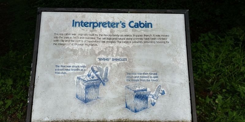
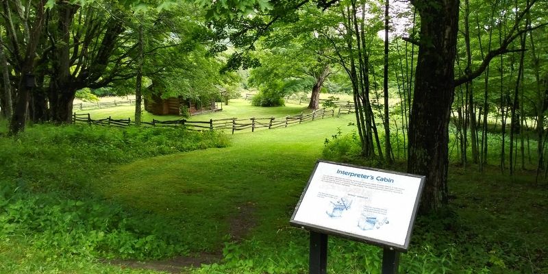
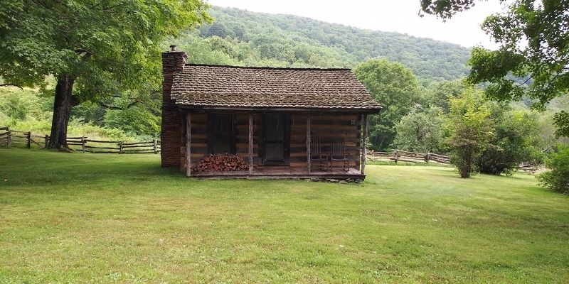
Interpreter's Cabin
— Grayson Highlands State Park —
"Riving" Shingles
The froe was struck with a short maul known as a froe-club.
The froe was then forced down and twisted to split the shingle from the block.
Erected by Grayson Highlands State Park.
Topics. This historical marker is listed in these topic lists: Parks & Recreational Areas • Settlements & Settlers.
Location. 36° 36.775′ N, 81° 28.825′ W. Marker is near Volney, Virginia, in Grayson County. Marker is on Grayson Highland Lane (Virginia Route 362) 0.8 miles north of Highlands Parkway (U.S. 58), on the right when traveling north. On the grounds of the Grayson Highlands State Park. Touch for map. Marker is in this post office area: Mouth of Wilson VA 24363, United States of America. Touch for directions.
Other nearby markers. At least 8 other markers are within 3 miles of this marker, measured as the crow flies. Rock House Ridge Trail (approx. 0.2 miles away); Grayson County (approx. 0.6 miles away); John Deere Mower Model 2 (approx. 0.6 miles away); Weavers Cabin (approx. 1.1 miles away); Jones Homestead (approx. 1.1 miles away); Spencer Cabin (approx. 1.1 miles away); Spring House (approx. 1.1 miles away); North Carolina / Virginia (approx. 2.7 miles away in North Carolina). Touch for a list and map of all markers in Volney.
Credits. This page was last revised on December 19, 2020. It was originally submitted on December 19, 2020, by Craig Doda of Napoleon, Ohio. This page has been viewed 166 times since then and 16 times this year. Photos: 1, 2, 3. submitted on December 19, 2020, by Craig Doda of Napoleon, Ohio. • Bernard Fisher was the editor who published this page.


