Near Ivanhoe in Carroll County, Virginia — The American South (Mid-Atlantic)
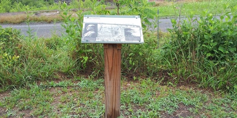
Powering a Community
— New River Trail State Park —
"Forged by mountains, river and America's desire for progress, the 57-mile New River Trail State Park provides you unparalleled opportunities for physical, intellectual and spiritual adventures."
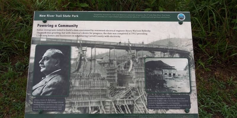
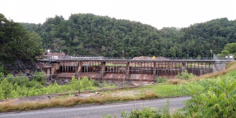
Italian immigrants toiled to build a dam envisioned by renowned electrical engineer Henry Marison Byllesby. The work was grueling, but with America's desire for progress, the dam was completed in 1912 providing 1,500 new homes and businesses in neighboring Carroll County with electricity.
(captions)
(Above, Henry M. Byllesby) Working closely with Thomas Edison building electrical stations around the world, Byllesby later moved to start his own electrical company in 1909.
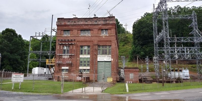
(Above, Byllesby Dam 1912) Electricity changed lives by increasing business productivity. After 100 years of operation, it is now owned by Appalachian Power Company. Byllesby Dam continues producing 30 megawatts of hydroelectricity, powering a community.
Pictures courtesy of: Virginia Department of Historic Resources and University of Minnesota Law Library
Produced by: Virginia Tech, Class of Environmental Interpretation Mitchell Addison
Erected by New River Trail State Park.
Topics. This historical marker is listed in these topic lists: Industry & Commerce • Parks & Recreational Areas • Waterways & Vessels. A significant historical year for this entry is 1912.
Location. 36° 47.117′ N, 80° 56.1′ W. Marker is near Ivanhoe, Virginia, in Carroll County. Marker is at the intersection of Byllesby Road (County Route 602) and Buck Dam Road, on the left when traveling east on Byllesby Road. Touch for map. Marker is at or near this postal address: 3564 Byllesby Rd, Ivanhoe VA 24350, United States of America. Touch for directions.
Other nearby markers. At least 8 other markers are within 5 miles of this marker, measured as the crow flies. Wythe County / Carroll County (approx. 3 miles away); Ivanhoe Furnace (approx. 3.7 miles away); a different marker also named Ivanhoe Furnace (approx. 3.8 miles away); Ivanhoe (approx. 3.8 miles away); 1901 Allis Chalmers Rock Crusher (approx. 3.8 miles away); Grayson County / Carroll County (approx. 4˝ miles away); Stephen Fuller Austin (approx. 4.8 miles away); To Mark The Site of The Lead Mines (approx. 5 miles away). Touch for a list and map of all markers in Ivanhoe.
Credits. This page was last revised on May 21, 2022. It was originally submitted on December 19, 2020, by Craig Doda of Napoleon, Ohio. This page has been viewed 192 times since then and 21 times this year. Photos: 1, 2, 3, 4. submitted on December 19, 2020, by Craig Doda of Napoleon, Ohio. • Bernard Fisher was the editor who published this page.


