Englewood Cliffs in Bergen County, New Jersey — The American Northeast (Mid-Atlantic)
The Palisades
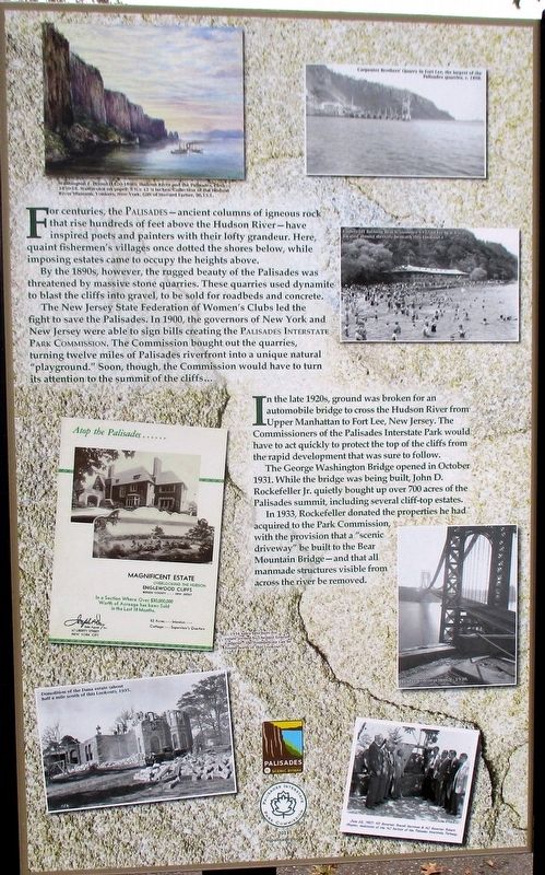
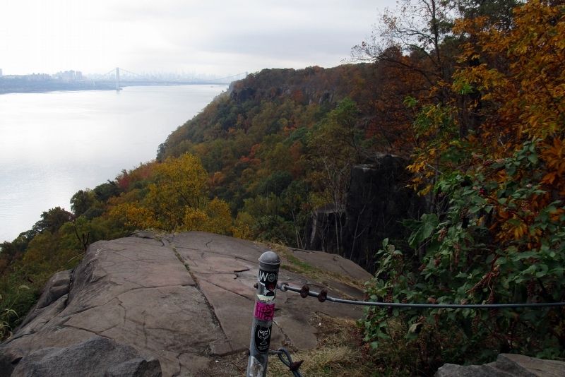
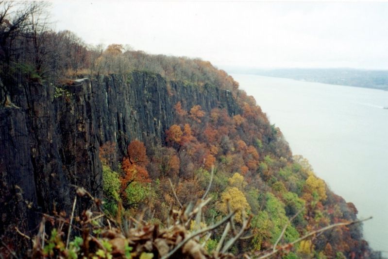
For centuries, the PALISADES – ancient columns of igneous rock that rises hundreds of feet above the Hudson River – have inspired poets and painters with their loft grandeur. Here, quaint fishermen’s villages once dotted the shores below, while imposing estates came to occupy the heights above.
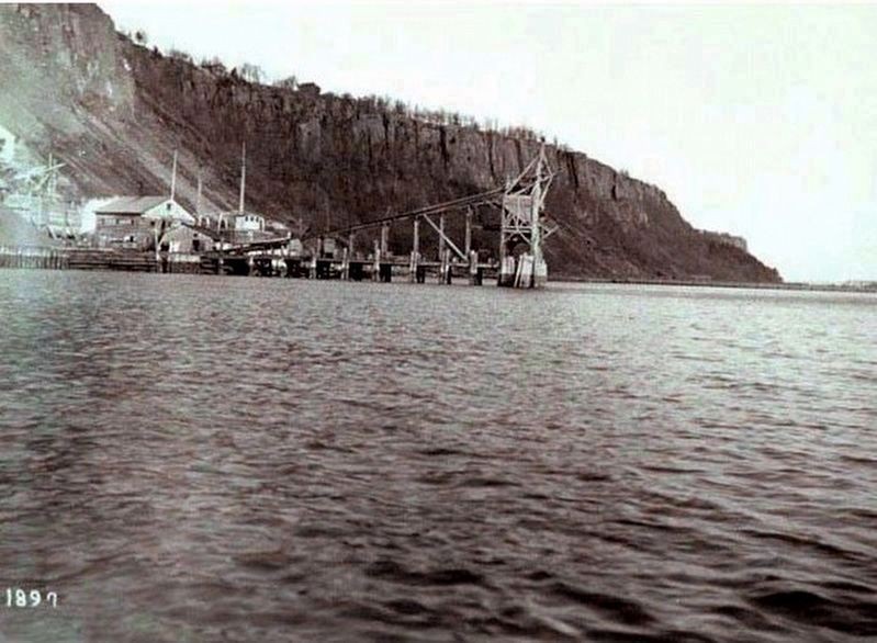
By the 1890s, however, the rugged beauty of the Palisades was threatened by massive stone quarries. These quarries used dynamite to blast the cliffs into gravel, to be sold for roadbeds and concrete.
The New Jersey Federation of Women’s Clubs led the fight to save the Palisades. In 1900, the governors of New York and New Jersey were able to sign bills creating the PALISADES INTERSTATE PARK COMMISSION. The Commission bought out the quarries, turning twelve miles of Palisades riverfront into a unique natural “playground.” Soon, though the Commission would have to turn its attention to the summit of the cliffs…
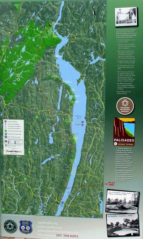
In the late 1920s, ground was broken for an automobile bridge to cross the Hudson River from Upper Manhattan to New Jersey. The Commissioners of the Palisades Interstate Park would have to act quickly to protect the top of the cliffs from the rapid development that was sure to follow.
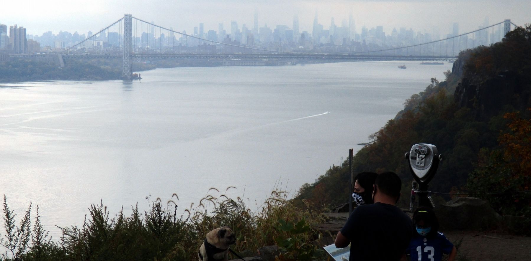
The George Washington Bridge opened in October 1931. While the bridge was being built, John D. Rockefeller Jr. quietly bought up over 700 acres of the Palisades summit, including several cliff-top estates.
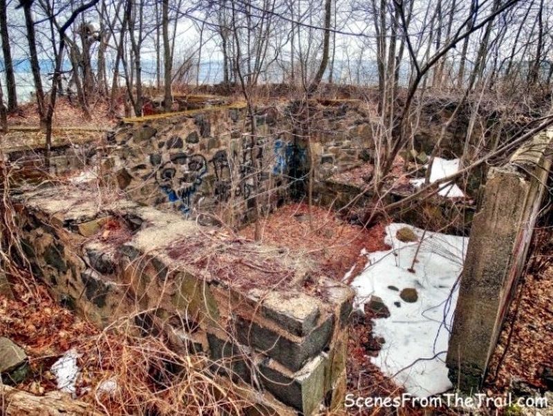
In 1933, Rockefeller donates the properties he has acquired to the Park Commission, with the provision that a “scenic driveway” be built to the Bear Mountain Bridge – and that all manmade structures visible from across the river be removed.
Erected 2013 by Palisades Interstate Park Commission.
Topics. This historical marker is listed in these topic lists: Environment • Parks & Recreational Areas. A significant historical month for this entry is October 1931.
Location. 40° 53.524′ N, 73° 56.479′ W. Marker is in Englewood Cliffs, New Jersey, in Bergen County. Marker is on Palisades Interstate Parkway, on the right when traveling north. Touch for map. Marker is at or near this postal address: Rockefeller Lookout, Englewood Cliffs NJ 07632, United States of America. Touch for directions.
Other nearby markers. At least 8 other markers are within 2 miles of this marker, measured as the crow flies. Laurance Spelman Rockefeller (a few steps from this marker); Rockefeller Lookout Panorama (a few steps from this marker); Rockefeller Lookout (a few steps from this marker); Bathing in the Hudson (approx. ¾ mile away); First Presbyterian Church (approx. 1½ miles away); Shorakkopoch (approx. 1.6 miles away in New York); Saint Paul’s Episcopal Church
(approx. 1.6 miles away); Brookside Chapel (approx. 1.6 miles away). Touch for a list and map of all markers in Englewood Cliffs.
Also see . . . Palisades Park Conservancy. Conservancy website homepage (Submitted on December 20, 2020, by Larry Gertner of New York, New York.)
Credits. This page was last revised on April 25, 2024. It was originally submitted on December 20, 2020, by Larry Gertner of New York, New York. This page has been viewed 200 times since then and 30 times this year. Photos: 1, 2, 3, 4, 5, 6, 7, 8. submitted on December 20, 2020, by Larry Gertner of New York, New York.
