Near Ewing in Lee County, Virginia — The American South (Mid-Atlantic)
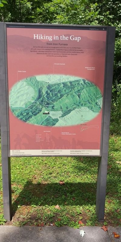
Hiking in the Gap
from Iron Furnace
Cumberland Gap National Historical Park
| — | National Park Service, U.S. Department of the Interior | — |
Photographed by Craig Doda, July 27, 2020
1. Hicking In The Gap Marker
Erected by National Park Service, U.S. Department of the Interior.
Topics. This historical marker is listed in these topic lists: Industry & Commerce • Natural Features.
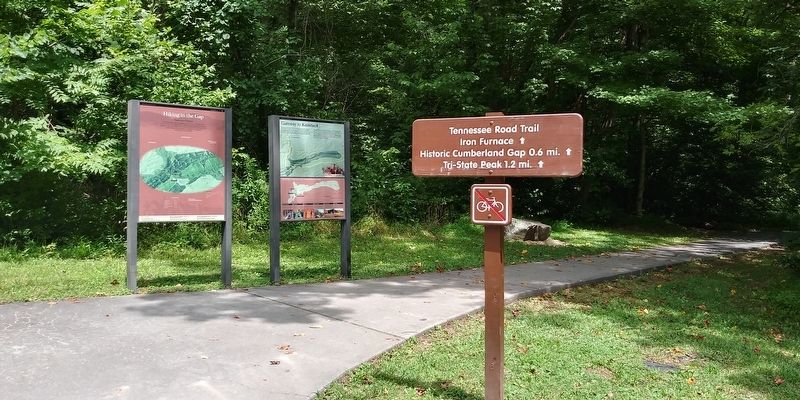
Location. 36° 36.072′ N, 83° 40.152′ W. Marker is near Ewing, Virginia, in Lee County. It can be reached from Pennlyn Road west of Llewelyn Street, on the right when traveling west. Located at the Iron Furnace Parking Area which can be reached from Cumberland Gap, Tennessee. Touch for map. Marker is in this post office area: Ewing VA 24248, United States of America. Touch for directions.

Regionally, this marker is in Southwest Virginia. It is also in the American South, specifically in the Upper South, in Appalachia, and specifically in Southern Appalachia. Globally, it is in North America, the Western Hemisphere, the Western World, and the Anglosphere. Historically, it finds itself in what was once the original Cherokee Nation, the territory of the Mississippian Culture, one of the original Thirteen Colonies, one of the Confederate States of America, and the Antebellum South.
Other nearby markers. At least 8 other markers are within walking distance of this marker: Gateway to Kaintuck (here, next to this marker); On Guard in Cumberland Gap (within shouting distance of this marker); Iron Furnace (about 300 feet away, measured in a direct line); Three States Cornerstone (about 400 feet away in Tennessee); Warriors' Path (about
this page online
Also see . . . Cumberland Gap National Historical Park. National Park Service (Submitted on December 22, 2020.)
Photographed by Craig Doda, July 27, 2020
2. Hicking In The Gap Marker
Credits. This page was last revised on May 3, 2026. It was originally submitted on December 20, 2020, by Craig Doda of Napoleon, Ohio. This page has been viewed 264 times since then and 23 times this year. Photos: 1, 2. submitted on December 20, 2020, by Craig Doda of Napoleon, Ohio. • Bernard Fisher was the editor who published this page.
