Lexington in McLean County, Illinois — The American Midwest (Great Lakes)
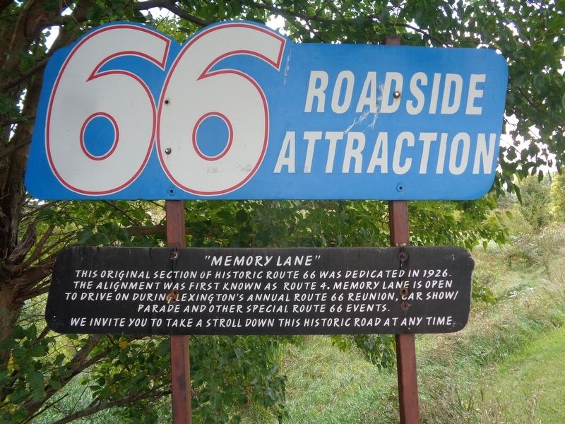
"Memory Lane"
66 Roadside Attraction
We invite you to take a stroll down this historic road at any time.
Topics and series. This historical marker is listed in this topic list: Roads & Vehicles. In addition, it is included in the Route 66 Roadside Attractions, and the U.S. Route 66 series lists. A significant historical year for this entry is 1926.
Location. 40° 39.052′ N, 88° 46.751′ W. Marker is in Lexington, Illinois, in McLean County. Marker is on Parade Road south of Old U.S. 66, on the left when traveling south. Touch for map. Marker is at or near this postal address: 143 Parade Rd, Lexington IL 61753, United States of America. Touch for directions.
Other nearby markers. At least 8 other markers are within 9 miles of this marker, measured as the crow flies. The John Patton Cabin (approx. 0.2 miles away); Illinois U.S. Route 66 (approx. 0.9 miles away); In Memory of Maude Henline (approx. 7.1 miles away); Matthew T. Scott (approx. 7.4 miles away); 1926 Route 66 Alignment (approx. 8˝ miles away); Pure Oil Truck Stop (approx. 8.6 miles away); 1954 Route 66 Alignment (approx. 8.6 miles away); Dead Man's Curve (approx. 8.6 miles away). Touch for a list and map of all markers in Lexington.
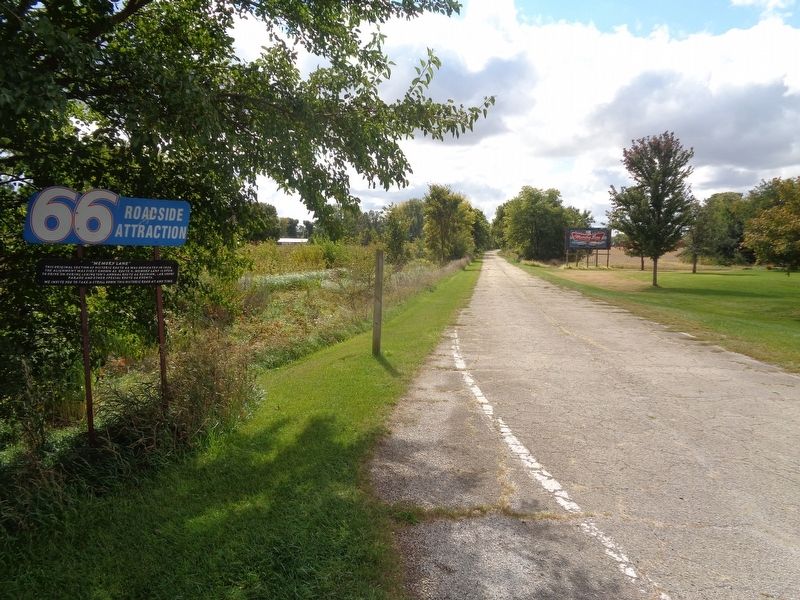
Regarding "Memory Lane". "Memory Lane" is a stretch of road that is nearly one-mile long and has a series of old road signs and advertisements including Burma Shave signs. This was used as the original 1926 alignment of Route 66 until a four-lane road that bypassed Lexington on the west side was opened. That would be known to this day as Historic Route 66.
Credits. This page was last revised on November 1, 2022. It was originally submitted on December 21, 2020, by Jason Voigt of Glen Carbon, Illinois. This page has been viewed 324 times since then and 88 times this year. Photos: 1, 2. submitted on December 21, 2020, by Jason Voigt of Glen Carbon, Illinois.

