Details in the Dirt
— Strawtown Koteewi —
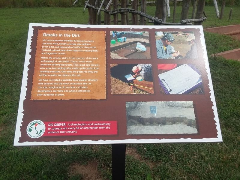
We have uncovered multiple dwelling structures, stockade walls, hearths, storage pits, middens (trash pits), and thousands of artifacts. Many of the material cultural items have long since decomposed, but fragments remain.
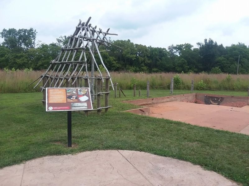
Notice the circular stains in the concrete of the mock archaeological excavation. These circular stains represent decomposed posts. These post hole remains were once tree saplings that made up the walls of the dwelling structure. Over time the posts rot away and all that remains are stains in the soil.
We have recreated a partially decomposing structure
that extends into the mock excavation. You can
use your imagination to see how a structure
decomposes over time and what is left behind
after hundreds of years.
Topics. This historical marker is listed in these topic lists: Anthropology & Archaeology • Native Americans • Settlements & Settlers.
Location. 40° 7.579′ N, 85° 57.015′ W. Marker is in Strawtown, Indiana, in Hamilton County. Marker is on Strawtown Avenue, 0.3 miles west of Essig Avenue, on the right when traveling west. Touch for map. Marker is at or near this postal address: 12308 Strawtown Ave, Noblesville IN 46060, United States of America. Touch for directions.
Other nearby markers. At least 8 other markers are within walking distance of this marker. The Mock Excavation (here, next to this marker); Daily Life Structure
Credits. This page was last revised on December 22, 2020. It was originally submitted on December 22, 2020, by Craig Doda of Napoleon, Ohio. This page has been viewed 94 times since then and 11 times this year. Photos: 1, 2. submitted on December 22, 2020, by Craig Doda of Napoleon, Ohio. • Devry Becker Jones was the editor who published this page.

