Strawtown in Hamilton County, Indiana — The American Midwest (Great Lakes)
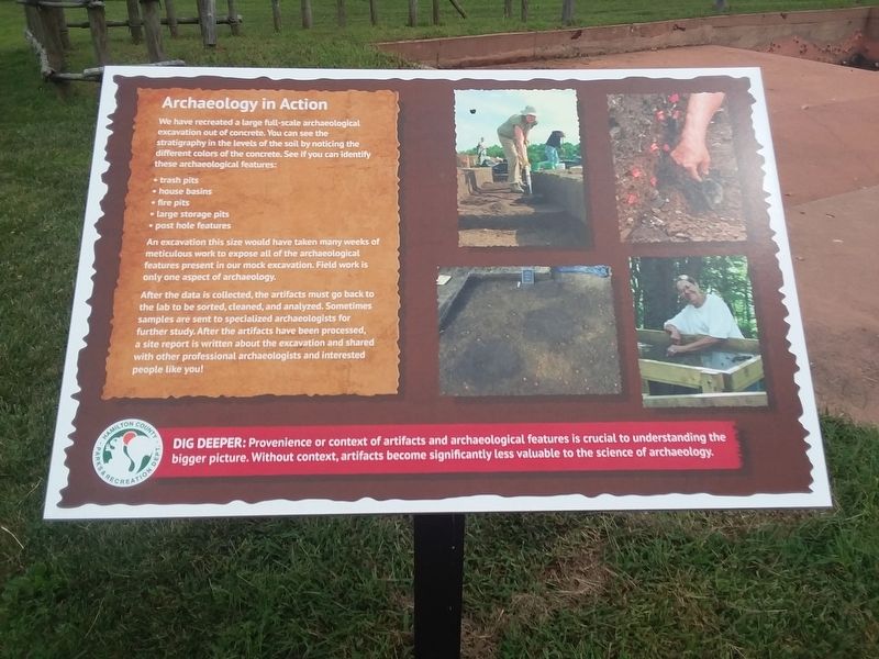
Archaeology in Action
— Strawtown Koteewi Park —
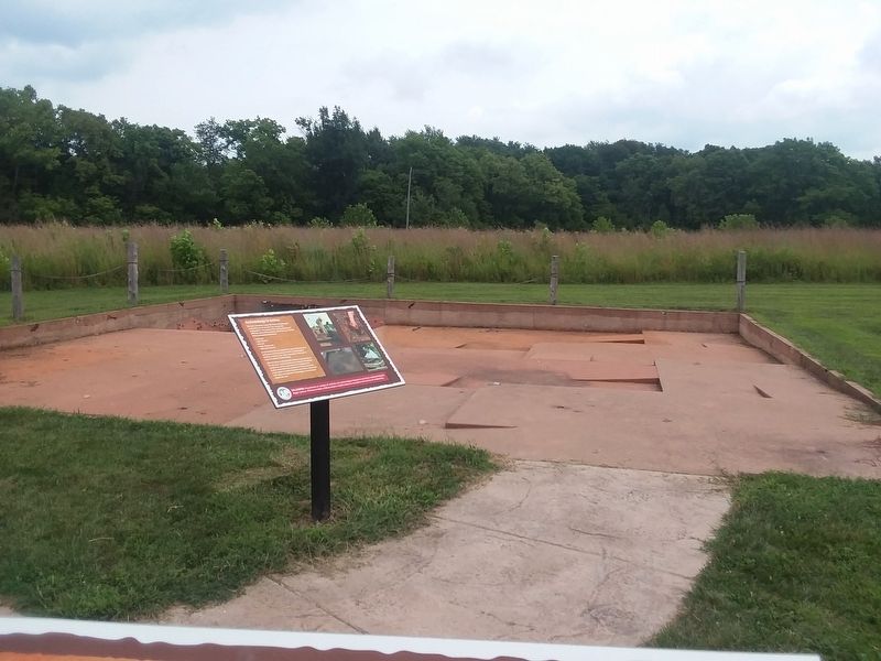
We have recreated a large full-scale archaeological excavation out of concrete. You can see the stratigraphy in the levels of the soil by noticing the different colors of the concrete. See if you can identify these archaeological features:
• trash pits
• house basins
• fire pits
• large storage pits
• post hole features
An excavation this size would have taken many weeks of meticulous work to expose all of the archaeological features present in our mock excavation. Field work is only one aspect of archaeology.
After the data is collected, the artifacts must go back to
the lab to be sorted, cleaned, and analyzed. Sometimes
samples are sent to specialized archaeologists for
further study. After the artifacts have been processed,
a site report is written about the excavation and shared
with other professional archaeologists and interested
people like you!
Erected by Indiana Department of Natural Resources.
Topics. This historical marker is listed in these topic lists: Anthropology & Archaeology • Native Americans.
Location. 40° 7.567′ N, 85° 57′ W. Marker is in Strawtown, Indiana, in Hamilton County. Marker is on Strawtown
Other nearby markers. At least 8 other markers are within walking distance of this marker. Details in the Dirt (within shouting distance of this marker); The Community Structure (within shouting distance of this marker); The Mock Excavation (within shouting distance of this marker); Daily Life Structure (within shouting distance of this marker); The Stockade Wall (within shouting distance of this marker); Village Welcome (within shouting distance of this marker); Welcome to Strawtown Koteewi Park (about 300 feet away, measured in a direct line); The Oliver Village Site (about 500 feet away). Touch for a list and map of all markers in Strawtown.
Credits. This page was last revised on December 22, 2020. It was originally submitted on December 22, 2020, by Craig Doda of Napoleon, Ohio. This page has been viewed 82 times since then and 6 times this year. Photos: 1, 2. submitted on December 22, 2020, by Craig Doda of Napoleon, Ohio. • Devry Becker Jones was the editor who published this page.

