Unionville in Ashtabula County, Ohio — The American Midwest (Great Lakes)
Colonel Alexander Harper
Photographed by Mike Wintermantel, August 31, 2018
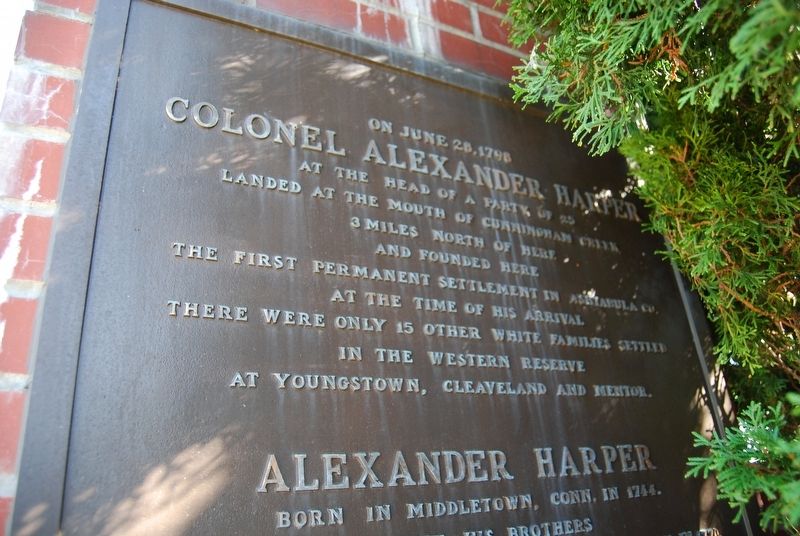
1. Colonel Alexander Harper Marker
Top 1/3
Colonel Alexander Harper
At the head of a party of 25
Landed at the mouth of Cunningham Creek
3 miles North of here
And founded here
The first permanent settlement in Ashtabula Co.
At the time of his arrival
There were only 15 other white families settled
In the Western Reserve
At Youngstown, Cleaveland and Mentor
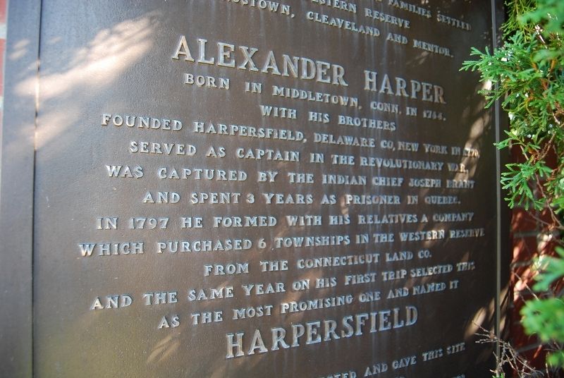
Alexander Harper
Born in Middletown, Conn. in 1744.
With his brothers
Founded Harpersfield, Delaware Co, New York in 1770
Served as Captain in the Revolutionary War
Was captured by the Indian Chief Joseph Brant
And spent 3 years as prisoner in Quebec.
In 1797 he formed with his relatives a company
Which purchased 6 townships in the Western Reserve
From the Connecticut Land Co.
And the same year on his first trip selected this
As the most promising one and named it
Harpersfield
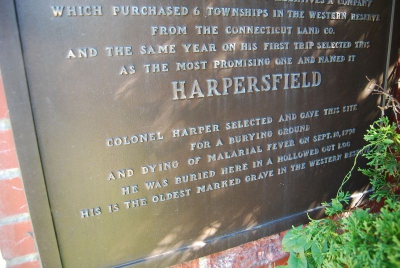
Colonel Harper selected and gave this site
For a burying ground
And dying of malarial fever on Sept. 10, 1798
He was buried here in a hollowed out log
His is the oldest marked grave in the Western Reserve.
Topics. This historical marker is listed in these topic lists: Cemeteries & Burial Sites
this page online
Location. 41° 46.806′ N, 81° 0.149′ W. Marker is in Unionville, Ohio, in Ashtabula County. It can be reached from the intersection of South Ridge Road (Ohio Route 84) and County Line Road. Located at the gates to the cemetery. Touch for map. Marker is in this post office area: Unionville OH 44088, United States of America. Touch for directions.

Regionally, this marker is on the Lake Erie Shore and in the Western Reserve. It is also in the American Midwest. Globally, it is in North America, on the Great Lakes, in the Western Hemisphere, in the Western World, and in the Anglosphere. Historically, it finds itself in what was once the Haudenosaunee (Iroquois) Confederacy, the territory of the Mississippian Culture, and the Northwest Territory.
Other nearby markers. At least 8 other markers are within 4 miles of this marker, measured as the crow flies: Unionville Soldiers Veterans Memorial (here, next to this marker); Harpersfield (a few steps from this marker); Unionville Tavern (within shouting distance of this marker);
Photographed by Mike Wintermantel, August 31, 2018
2. Colonel Alexander Harper Marker
Middle 1/3
Also see . . . Colonel Alexander Harper at FindAGrave.com. (Submitted on December 22, 2020, by Mike Wintermantel of Pittsburgh, Pennsylvania.)
Photographed by Mike Wintermantel, August 31, 2018
3. Colonel Alexander Harper Marker
Bottom 1/3
Photographed by Mike Wintermantel, August 31, 2018
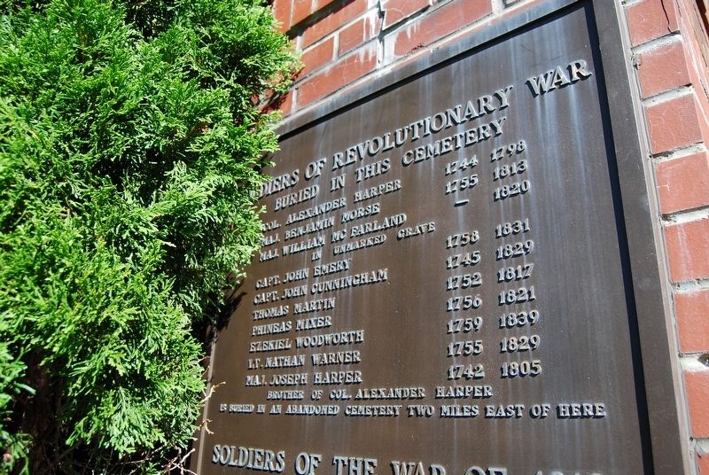
4. Soldiers of the Revolutionary War Buried in this Cemetery Marker
Soldiers of the War of 1812 Buried in this cemetery.
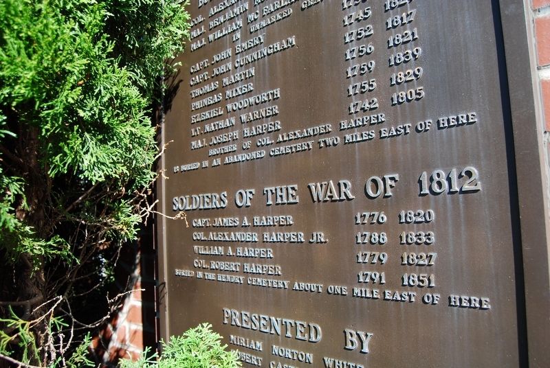
Photographed by Mike Wintermantel, August 31, 2018
5. Colonel Alexander Harper Marker
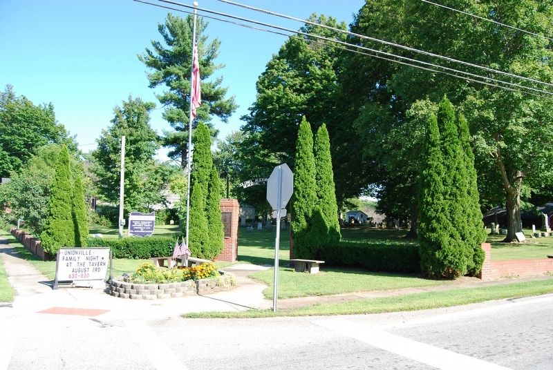
Photographed by Mike Wintermantel, August 31, 2018
6. Colonel Alexander Harper Marker
Revolutionary War Soldiers Buried Here marker on the left column.
Credits. This page was last revised on December 22, 2020. It was originally submitted on December 22, 2020, by Mike Wintermantel of Pittsburgh, Pennsylvania. This page has been viewed 1,428 times since then and 161 times this year. Photos: 1, 2, 3, 4, 5, 6. submitted on December 22, 2020, by Mike Wintermantel of Pittsburgh, Pennsylvania.
