West Branch in Cedar County, Iowa — The American Midwest (Upper Plains)
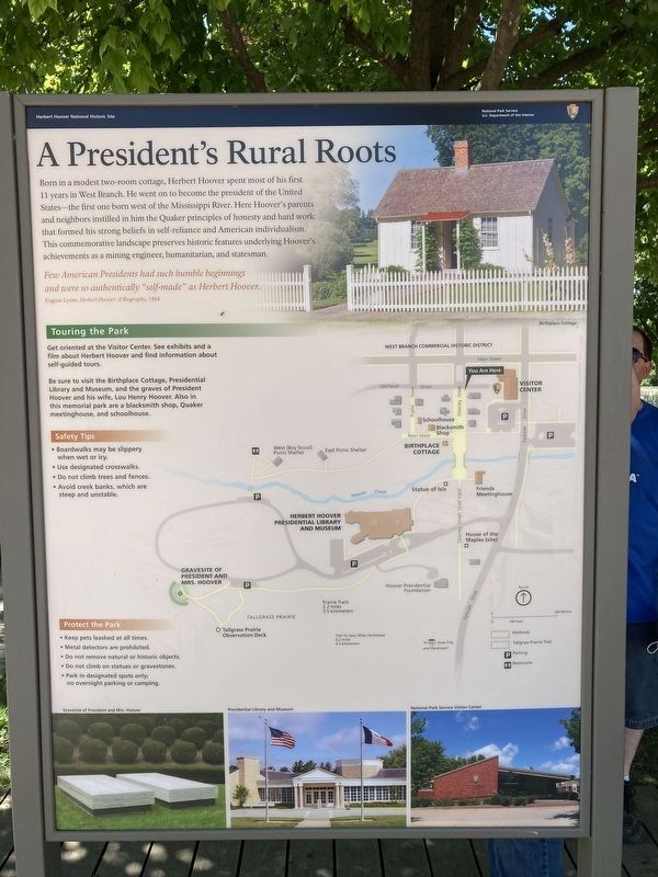
A President's Rural Roots
| — | Herbert Hoover National Historic Site | — |
Photographed by Connor Olson, July 26, 2020
1. A President's Rural Roots Marker
Few American Presidents had such humble beginnings and were so authentically called "self-made" as Herbert Hoover.
Eugene Lyons, Herbert Hoover: A Biography, 1964
Touring the Park
Get oriented at the visitor center. See exhibits and a film about Herbert Hoover and find information about self-guided tours.
Be sure to visit the Birthplace Cottage, Presidential Library and Museum, and the graves of President Hoover and his wife, Lou Henry Hoover. Also in this memorial park are a blackmith shop, Quaker meetinghouse, and a schoolhouse.
Safety Tips
*Boardwalks may be slippery when wet or icy.
*Designated sidewalks.
Do not climb trees and fences.
Avoid creek banks, which are steep and unstable.
Erected by National
this page online
Topics. This historical marker is listed in these topic lists: Parks & Recreational Areas • Settlements & Settlers. A significant historical year for this entry is 1964.
Location. 41° 40.257′ N, 91° 20.795′ W. Marker is in West Branch, Iowa, in Cedar County. It is at the intersection of Wetherell Street and South Downey Street, on the left when traveling west on Wetherell Street. Touch for map. Marker is in this post office area: West Branch IA 52358, United States of America. Touch for directions.

Regionally, this marker is in Eastern Iowa. It is also in the American Midwest and in the Corn Belt. Globally, it is in North America, the Western Hemisphere, the Western World, and the Anglosphere. Historically, it finds itself in what was once the territory of the Mississippian Culture and also the Louisiana Purchase.
Other nearby markers. At least 8 other markers are within walking distance of this marker: Explore Historic Downtown (here, next to this marker); Laban Miles House (here, next to this marker); A World of Opportunity (a few steps from this marker); Garvin House (a few
Photographed by Jeff Leichsenring, August 17, 2023
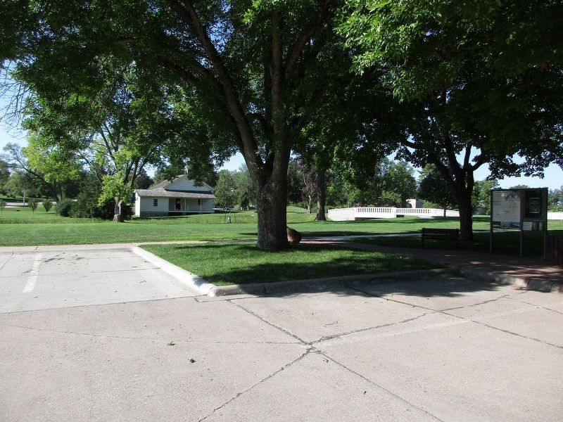
2. A President's Rural Roots Marker
Other markers no longer nearby. The Laban Miles House (was here, next to this marker but has been replaced with another marker now near it); The Amanda Garvin Cottage (was a few steps from this marker but has been replaced with another marker now near it); The Dr. Leech House (was within shouting distance of this marker but has been replaced with another marker now near it); The C.E. Smith House (was within shouting distance of this marker but has been replaced with another marker now near it); The Hannah Varney House (was within shouting distance of this marker but has been replaced with another marker now near it).
Credits. This page was last revised on August 26, 2023. It was originally submitted on December 22, 2020, by Connor Olson of Menomonee Falls, Wisconsin. This page has been viewed 305 times since then and 13 times this year. Photos: 1. submitted on December 22, 2020, by Connor Olson of Menomonee Falls, Wisconsin. 2. submitted on August 20, 2023, by Jeff Leichsenring of Garland, Texas. • Mark Hilton was the editor who published this page.
