Rib Mountain in Marathon County, Wisconsin — The American Midwest (Great Lakes)
Monadnocks
Photographed by Keith L, June 8, 2008
1. Monadnocks Marker
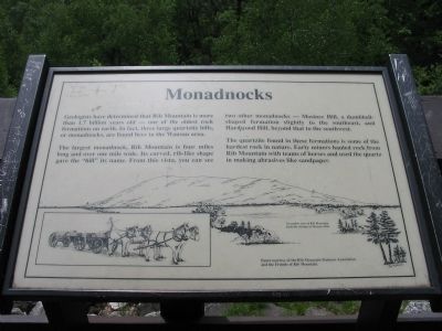
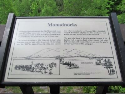
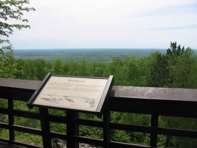
The largest monadnock, Rib Mountain is four miles long and over one mile wide. Its curved, rib-like shape gave the "hill" its name. From this vista, you can see two other monadnocks — Mosinee Hill, a dumbbell-shaped formation slightly to the southeast, and Hardwood Hill, beyond that to the southwest.
The quartzite found in these formations is some of the hardest rock in nature. Early miners hauled rock from Rib Mountain with teams of horses and used the quartz in making abrasives like sandpaper.
(caption) An earlier view of Rib Mountain from the vicinity of Mosinee Hill.
Erected by the Rib Mountain Business Association and the Friends of Rib Mountain.
Topics. This historical marker is listed in this topic list: Natural Features.
Location. 44° 55.2′ N, 89° 41.667′ W. Marker is in Rib Mountain, Wisconsin, in Marathon County. It can be reached from
this page online

Regionally, this marker is in Northern Wisconsin. It is also in the American Midwest and in the Corn Belt. Globally, it is in North America, the Great North Woods, the Western Hemisphere, the Western World, and the Anglosphere. Historically, it finds itself in what was once the territory of the Mississippian Culture and also the Northwest Territory.
Other nearby markers. At least 8 other markers are within walking distance of this marker: Ancient Ripples (within shouting distance of this marker); a different marker also named Rib Mountain State Park (within shouting distance of this marker); To Charles E. Parker (within shouting distance of this marker); History of Rib Mountain (about 300 feet away, measured in a direct line); Roosevelt's Tree Army (about 300 feet away); Skiing Rib Mountain (about 300 feet away); Welcome to Rib Mountain State Park (about 600 feet away); Mountain View
Photographed by Keith L, June 7, 2014
2. Monadnocks Marker
Another marker is no longer nearby. Rib Mountain State Park (was within shouting distance of this marker but has been confirmed missing).
Also see . . . The Northern Highland — The Lost Mountains of Wisconsin. "Wisconsin was part of a mountainous region which covered all this state and much territory outside it. It had peaks and ridges similar to those in the Alps." (Submitted on February 21, 2009.)
Photographed by Keith L, June 8, 2008
3. Monadnocks Marker
Photographed by Keith L, June 7, 2014
4. View from South Deck
Photographed by Keith L, June 7, 2014
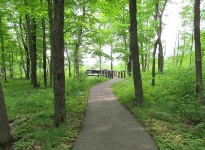
5. South Deck
Photographed by Keith L, June 7, 2014
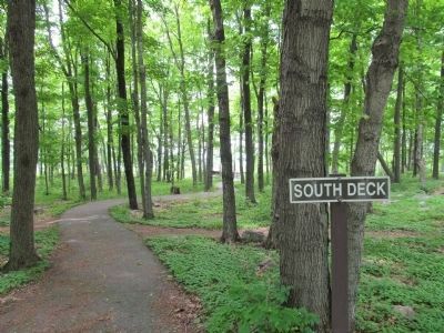
6. Trail to South Deck
Photographed by Susan Van Den Bosch, October 30, 2025
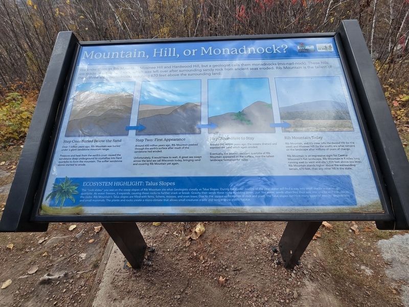
7. Monadnocks Marker

Photographed by Susan Van Den Bosch, October 30, 2025
8. Monadnocks Marker
Location of marker now.
Credits. This page was last revised on September 4, 2026. It was originally submitted on February 21, 2009, by Keith L of Wisconsin Rapids, Wisconsin. This page has been viewed 2,331 times since then and 110 times this year. Photos: 1. submitted on February 21, 2009, by Keith L of Wisconsin Rapids, Wisconsin. 2. submitted on January 10, 2015, by Keith L of Wisconsin Rapids, Wisconsin. 3. submitted on February 21, 2009, by Keith L of Wisconsin Rapids, Wisconsin. 4, 5, 6. submitted on January 10, 2015, by Keith L of Wisconsin Rapids, Wisconsin. 7, 8. submitted on October 30, 2025, by Susan Van Den Bosch of Almond, Wisconsin. • Kevin W. was the editor who published this page.
