Petrified Forest National Park in Apache County, Arizona — The American Mountains (Southwest)
Over the Edge
Petrified Forest National Park
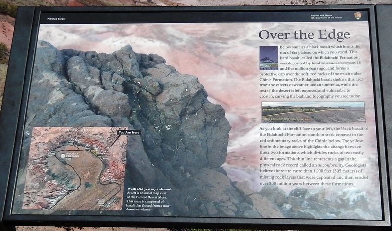
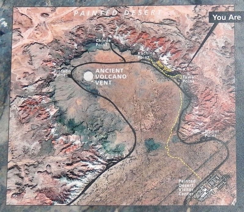
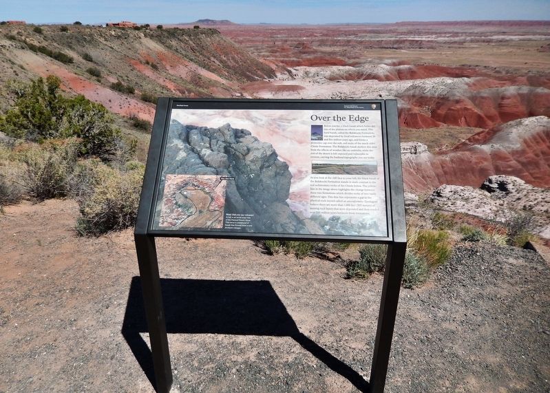
As you look at the cliff face to your left, the black basalt of the Bidahochi Formation stands in stark contrast to the red sedimentary rocks of the Chinle below. The yellow line in the image above highlights the change between these two formations which divides rocks of two vastly different ages. This thin line represents a gap in the physical rock record called an unconformity. Geologists believe there are more than 1,000 feet (305 meters) of missing rock layers that were deposited and then eroded over 200 million years between these formations.
Erected by National Park Service, U.S. Department of the Interior.
Topics. This historical marker is listed in this topic list: Natural Features.
Location. 35° 4.864′ N, 109° 47.015′ W. Marker is in Petrified Forest National Park, Arizona, in Apache County. Marker can be reached from Petrified Forest Road, 2 miles north of U.S. Route 66 (Interstate 40), on the right when traveling north. Marker is located at the Tawa Point overlook in Petrified Forest National Park. Touch for map. Marker is in this post office area: Petrified Forest Natl Pk AZ 86028, United States of America. Touch for directions.
Other nearby markers. At least 8 other markers are within 2 miles of this marker, measured as the crow flies. Painted Desert Inn (approx. 0.3 miles away); Badlands (approx. 0.4 miles away); A Painted Park (approx. 0.6 miles away); Painted Desert Community Complex Historic District (approx. 0.9 miles away); Desert Vistas (approx. one mile away); A Gap in the Geologic Record (approx. one mile away); Early Explorers (approx. 1.3 miles away); The Painted Desert (approx. 1.6 miles away).
Also see . . . Petrified Forest National Park (Wikipedia). An unconformity (break in the rock record) of about 200 million years occurs within the park, where erosion has removed all the rock layers above the Chinle except geologically recent ones. The Bidahochi Formation, laid down only 4 to 8 million years ago, rests directly atop the Chinle, and rocks laid down in the Jurassic, Cretaceous, and much of the Tertiary are absent. Although much of the Bidahochi has since eroded,
a small part of it outcrops in the northern part of the park — along the rim of the Painted Desert between Pintado and Tawa points. (Submitted on December 25, 2020, by Cosmos Mariner of Cape Canaveral, Florida.)
Credits. This page was last revised on December 25, 2020. It was originally submitted on December 25, 2020, by Cosmos Mariner of Cape Canaveral, Florida. This page has been viewed 201 times since then and 26 times this year. Photos: 1, 2, 3, 4. submitted on December 25, 2020, by Cosmos Mariner of Cape Canaveral, Florida.


