Near Essexville in Bay County, Michigan — The American Midwest (Great Lakes)
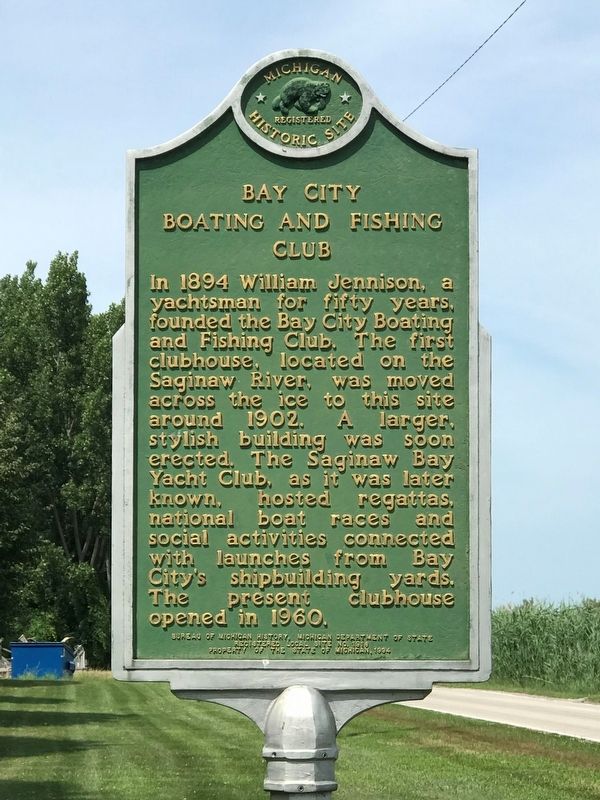
Bay City Boating and Fishing Club
Photographed by Kathy Garman, July 25, 2020
1. Bay City Boating and Fishing Club Marker
Erected 1994 by Bureau of Michigan History, Michigan Department of State. (Marker Number L1916C.)
Topics and series. This historical marker is listed in this topic list: Waterways & Vessels. In addition, it is included in the Michigan Historical Commission series list. A significant historical year for this entry is 1894.
Location. 43° 37.515′ N, 83° 50.184′ W. Marker is near Essexville, Michigan, in Bay County. It is on Weadock Highway 0.6 miles north of Woodside Avenue, on the left when traveling north. Touch for map. Marker is at or near this postal address: 2313 Weadock Hwy, Essexville MI 48732, United States of America. Touch for directions.

Regionally, this marker
this page online
Other nearby markers. At least 8 other markers are within 2 miles of this marker, measured as the crow flies: Beet Sugar Industry (approx. 0.9 miles away); USS Frank E. Evans DD-754 Memorial (approx. 1.8 miles away); Fan-Fare Torpedo Decoy (approx. 1.8 miles away); Mark 46 Torpedo (approx. 1.8 miles away); Motor Whaleboat 26 Ft (approx. 1.8 miles away); Signal Bridge (approx. 1.8 miles away); Signal Shack (approx. 1.8 miles away); Independent Park Boat Launch (approx. 1.9 miles away).
More about this marker. The only parking available is inside the entrance. However, this is a private club, so park at your own risk, or park on the side of the road.
Photographed by Kathy Garman, July 25, 2020
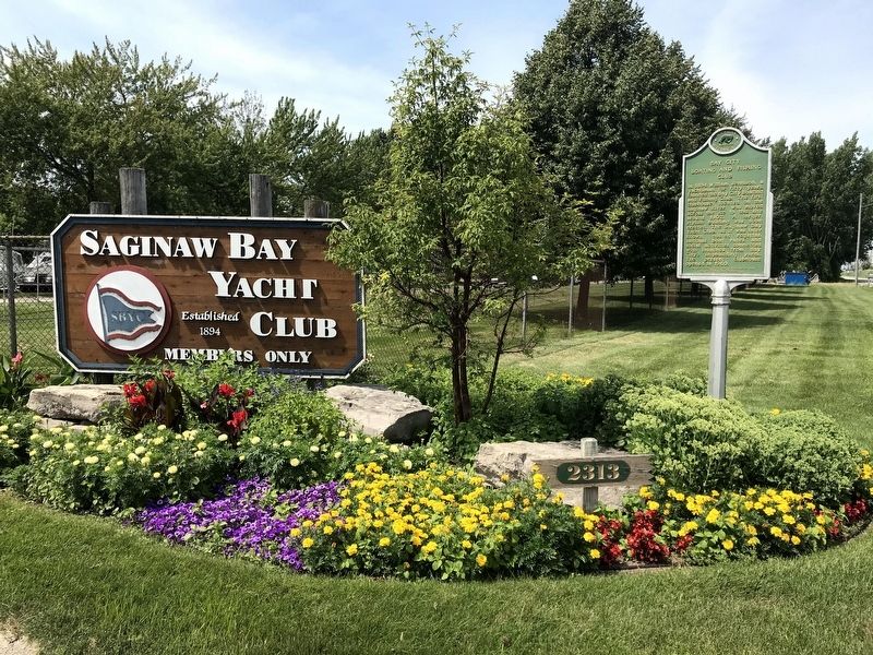
2. Bay City Boating and Fishing Club Marker
Photographed by Kathy Garman, July 25, 2020
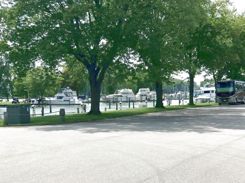
3. View of Some of the Boats Docked at the Yacht Club.
Credits. This page was last revised on December 26, 2020. It was originally submitted on December 25, 2020, by John Garman of Rochester Hills. This page has been viewed 430 times since then and 56 times this year. Photos: 1, 2, 3. submitted on December 25, 2020, by John Garman of Rochester Hills. • Mark Hilton was the editor who published this page.
