Near Funks Grove in McLean County, Illinois — The American Midwest (Great Lakes)
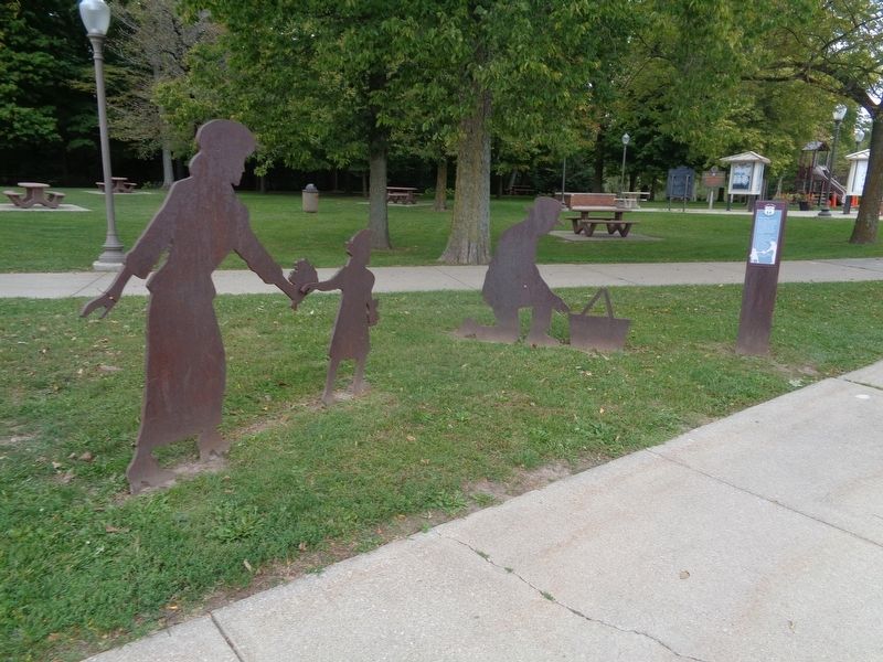
Having a Picnic / A Transportation Corridor
Funks Grove
— Historical Route 66 —
Inscription.
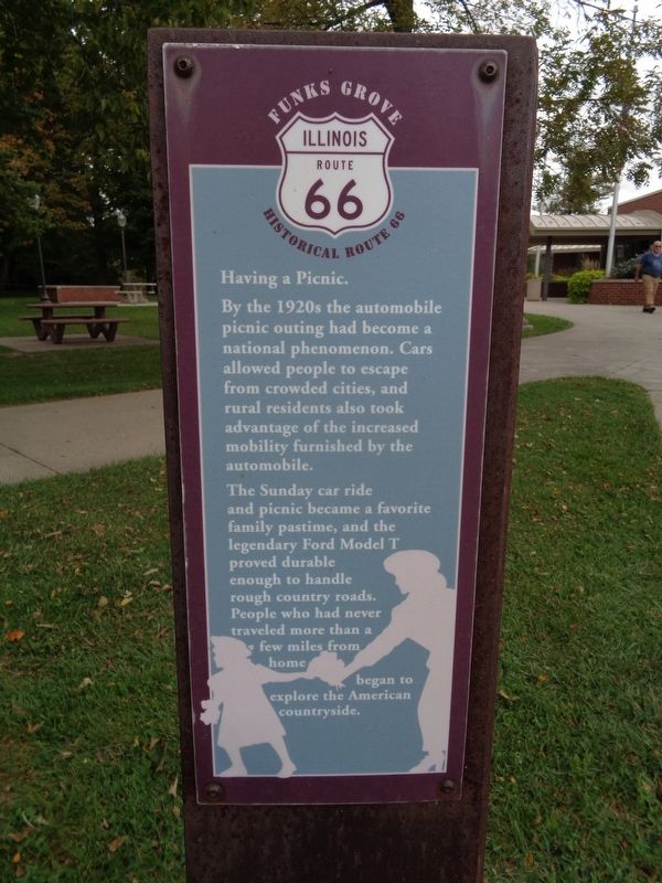
Having a Picnic.
By the 1920s the automobile picnic outing had become a national phenomenon. Cars allowed people to escape from crowded cities, and rural residents also took advantage of the increased mobility furnished by the automobile.
The Sunday car ride and picnic became a favorite family pastime, and the legendary Ford Model T proved durable enough to handle rough country roads. People who had never traveled more than a few miles from home began to explore the American countryside.
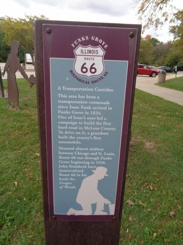
A Transportation Corridor.
This area has been a transportation crossroads since Isaac Funk arrived in Funks Grove in 1824. One of Isaac's sons led a campaign to build the first hard road in McLean County. To drive on it, a grandson built the county's first automobile.
Situated almost midway between Chicago and St. Louis, Route 66 ran through Funks Grove beginning in 1926. John Steinbeck later immortalized Route 66 in his book the Grapes of Wrath.
Topics and series. This historical marker is listed in this topic list: Roads & Vehicles. In addition, it is included in the U.S. Route 66 series list. A significant historical year for this entry is 1824.
Location. 40° 21.551′ N, 89° 6.587′ W. Marker is near Funks Grove, Illinois, in McLean County. Marker can be reached from Interstate 55 at milepost 149. Marker is located at Funks Grove Rest Stop. Touch for map. Marker is at or near this postal address: I-55, Mc Lean IL 61754, United States of America. Touch for directions.
Other nearby markers. At least 8 other markers are within 10 miles of this marker, measured as the crow flies. Bloomington-Normal, Illinois (a few steps from this marker); Isaac Funk (within shouting distance of this marker); Funks Grove Pure Maple Sirup, Funks Grove, Illinois (approx. half a mile away); A Home on the Road (approx. 4˝ miles away); Charles Lindbergh Crash Site (approx. 4.8 miles away); Abraham Lincoln - Eighth Judicial District (approx. 6.6 miles away); Miller Park's Segregated Beaches (approx. 9.3 miles away); "Reisch Beer" Mural (approx. 9.3 miles away). Touch for a list and map of all markers in Funks Grove.
Credits. This page was last revised on December 26, 2020. It was originally submitted on December 25, 2020, by Jason Voigt of Glen Carbon, Illinois. This page has been viewed 126 times since then and 7 times this year. Photos: 1, 2, 3. submitted on December 25, 2020, by Jason Voigt of Glen Carbon, Illinois.


