Near Auburn in Bay County, Michigan — The American Midwest (Great Lakes)
Pine Grove Cemetery
Inscription.
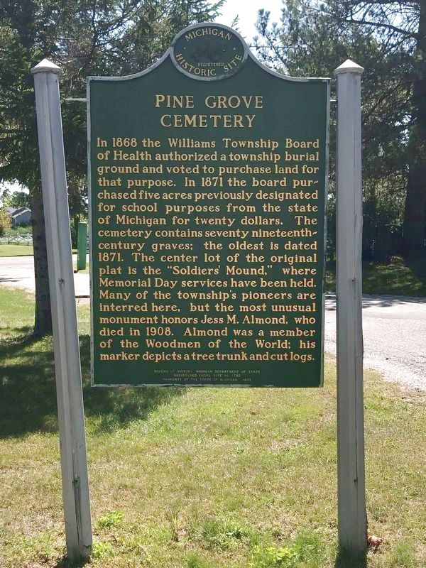
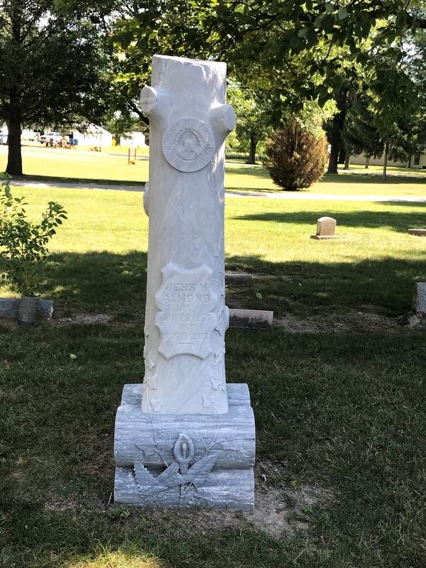
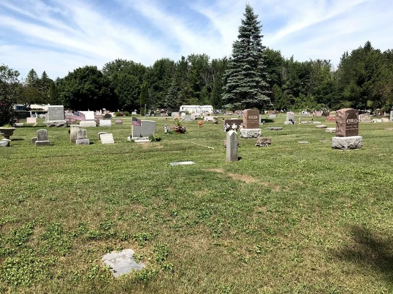
In 1868 the Williams Township Board of Health authorized a township burial ground and voted to purchase land for that purpose. In 1871 the board purchased five acres previously designated for school purposes from the state of Michigan for twenty dollars. The cemetery contains seventy nineteenth-century graves; the oldest is dated 1871. The center lot of the original plat is the “Soldiers’ Mound,” where Memorial Day services have been held. Many of the township’s pioneers are interred here, but the most unusual monument honors Jess M. Almond, who died in 1908. Almond was a member of the Woodmen of the World; his marker depicts a tree trunk and cut logs.
Erected 1993 by Bureau of History, Michigan Department of State. (Marker Number L1782A.)
Topics and series. This historical marker is listed in this topic list: Cemeteries & Burial Sites. In addition, it is included in the Michigan Historical Commission series list. A significant historical year for this entry is 1871.
Location. 43° 36.693′ N, 84° 6.548′ W. Marker is near Auburn, Michigan, in Bay County. Marker is at the intersection of 11 Mile Road and West North Union Road, on the left when traveling north on 11 Mile Road. The marker is on the northeast corner of West North Union Road and 11 Mile Road, just inside the cemetery entrance off of 11 Mile Road. Touch for map. Marker is at or near this postal address: 4485 11 Mile Rd, Auburn MI 48611, United States of America. Touch for directions.
Other nearby markers. At least 8 other markers are within 14 miles of this marker, measured as the crow flies. Midland County Courthouse (approx. 6.9 miles away); John and Almira Kelly House (approx. 7 miles away); The Upper Bridge (approx. 7.2 miles away); St. John Evangelical Lutheran Church / Amelith (approx. 8 miles away); Frankenlust / St. Paul Evangelical Lutheran Church (approx. 9 miles away); Ogaukawning Church (approx. 10.1 miles away); Saginaw Bay (approx. 10.9 miles away); Saginaw Oil Industry (approx. 13.7 miles away).
Credits. This page was last revised on October 16, 2023. It was originally submitted on December 28, 2020, by John Garman of Rochester Hills. This page has been viewed 218 times since then and 28 times this year. Photos: 1, 2, 3. submitted on December 28, 2020, by John Garman of Rochester Hills. 4. submitted on October 13, 2023, by Danielle Smith of Bay City, Michigan. • Mark Hilton was the editor who published this page.


